Plizio Visual Lab
Mount Tabiwol

Weather…
Water temperature…
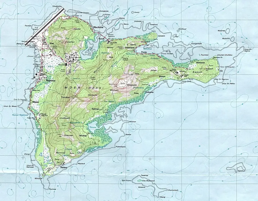
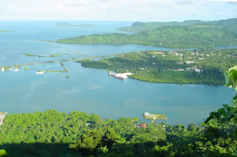
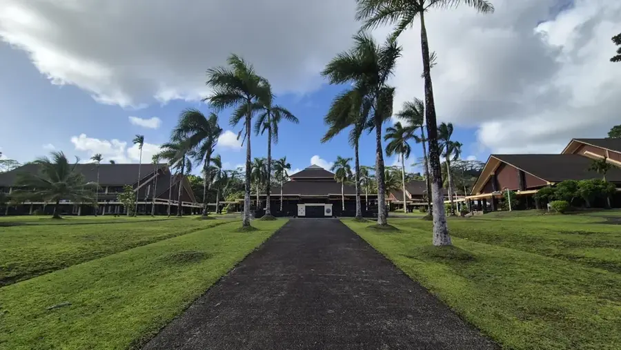
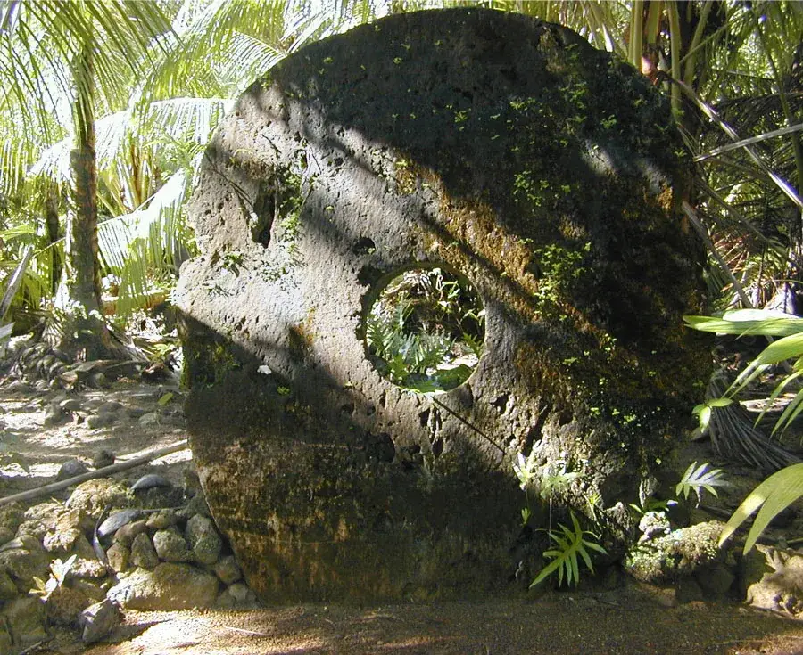
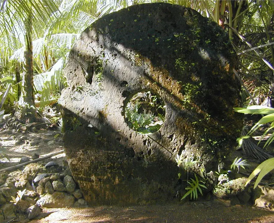
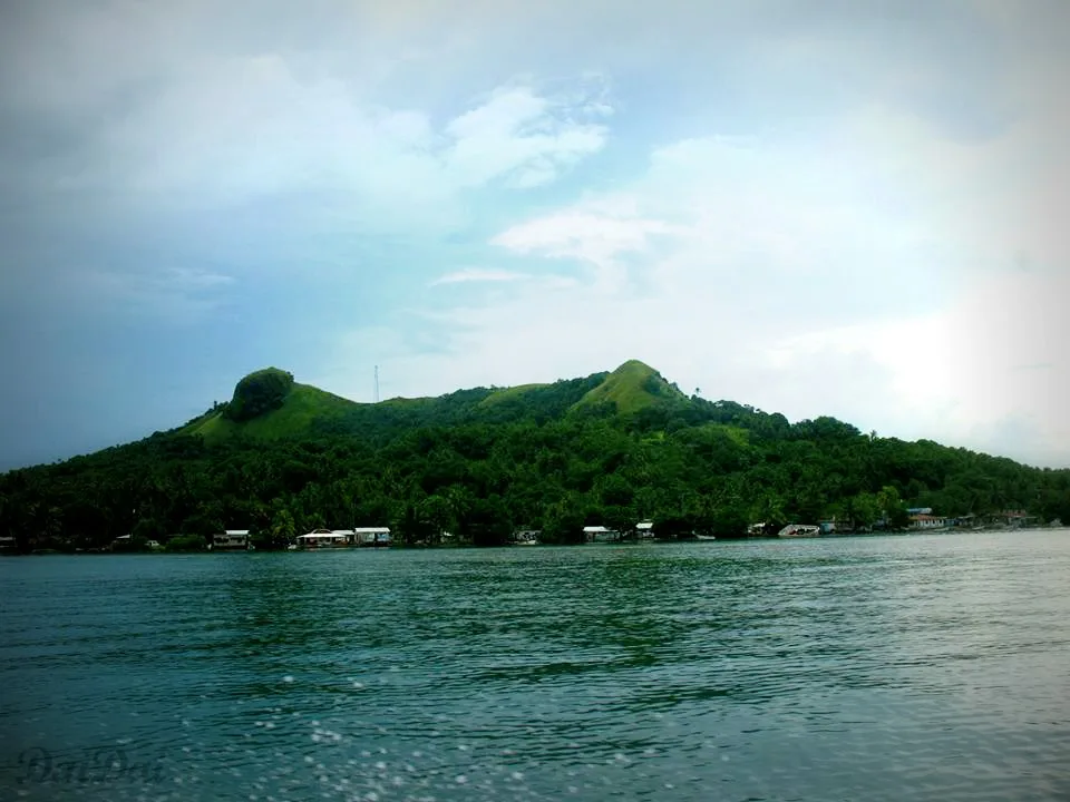
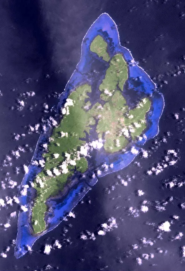
Mount Tabiwol stands as the highest point on the island of Yap, reaching an elevation of 178 meters. While modest by global standards, it is the most prominent feature in the island's interior, providing a central anchor for the landscape. Geologically, the mountain is fascinating as it is composed primarily of metamorphic rock, a distinction that sets it apart from the volcanic and coralline islands typical of Micronesia. The slopes are draped in lush, tropical rainforest, home to endemic flora and fauna. Reaching the summit rewards hikers with sweeping views of the fringing reefs, turquoise lagoons, and the traditional villages that line the coast. Historically, Mount Tabiwol served as a critical vantage point during World War II, and remnants of military activity, such as foxholes and artifacts, can still be found partially reclaimed by the jungle. Beyond its height and history, the mountain holds a quiet majesty, offering a peaceful retreat into nature and a unique perspective on the island's geography, far above the famous stone money banks and coastal mangroves below.
- Location: Micronesia
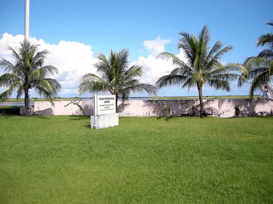
- Nearby: Bechiyal Cultural Village (5 km)
Best time to visit & climate
The most pleasant time to visit is Feb–Apr.
| Jan | Feb | Mar | Apr | May | Jun | Jul | Aug | Sep | Oct | Nov | Dec | |
|---|---|---|---|---|---|---|---|---|---|---|---|---|
| Avg °C | 28 | 28 | 28 | 28 | 28 | 28 | 28 | 28 | 28 | 28 | 29 | 29 |
| Rain mm | 148 | 123 | 137 | 139 | 200 | 245 | 328 | 344 | 302 | 257 | 211 | 197 |
📋 Practical info
Geography
Facts
- Highest point on Yap, rising 178 meters above sea level
- Site of former Japanese anti-aircraft installations
- The summit provides views of Yap's four municipalities
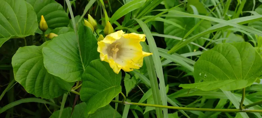
- Flora includes rare orchids and tropical ferns
- The hike to the summit takes approximately 45 minutes
- Host to critical local radio and communication towers
Explore nearby
Notable places around
Route planner — Car & Motorhome
Where do you start? We build the route here, with stops and country notes along the way.
© OpenStreetMap contributors · OpenRouteService
Sights in the town Mount Tabiwol (1)
Sights nearby
Frequently asked questions
Where is Mount Tabiwol located?
What can you see at the summit?
Is the climb difficult?
Do I need permission?
Is there a road to the top?
Mount Tabiwol: where is it located?
Mount Tabiwol: when is the best time to visit?
Mount Tabiwol: why is it worth visiting?

Nearby cities


History & landmarks

Nature

More places