Plizio Visual Lab
Mount Matade
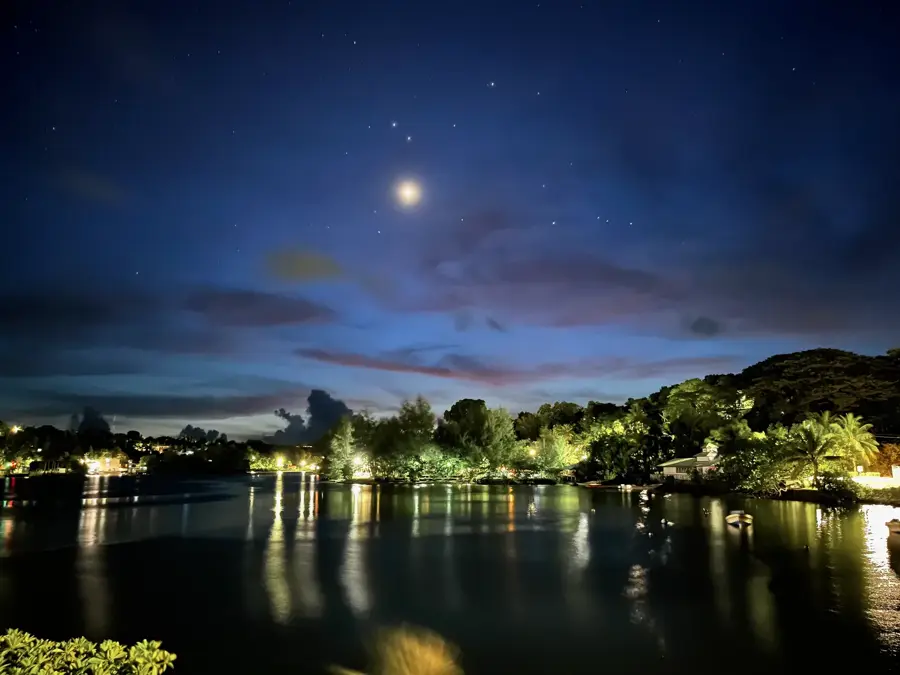
Weather…
Water temperature…
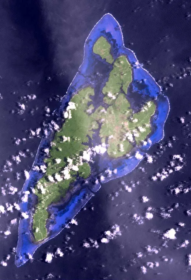
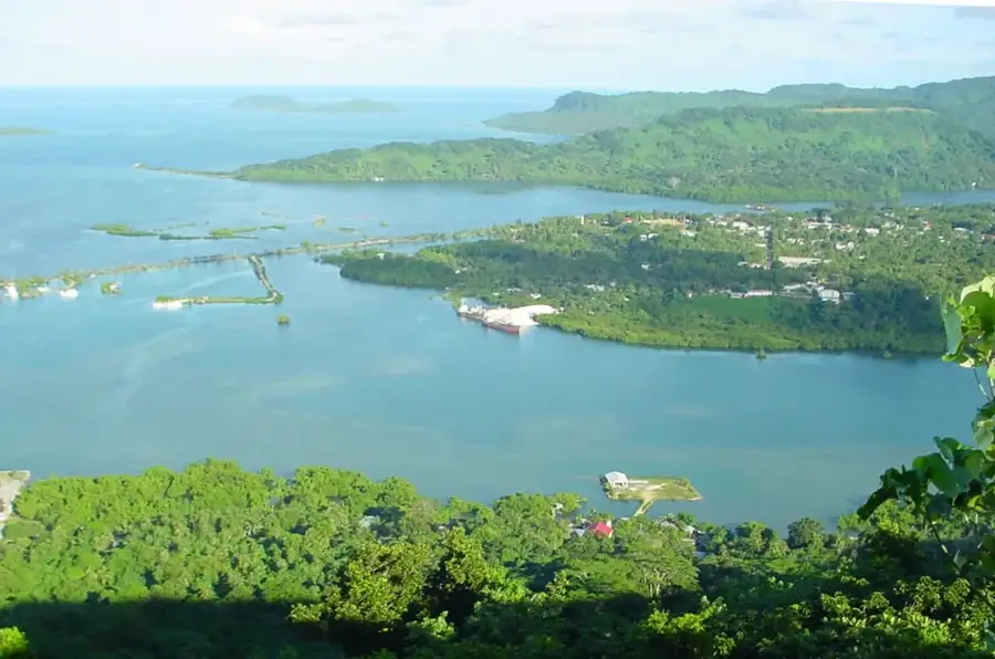
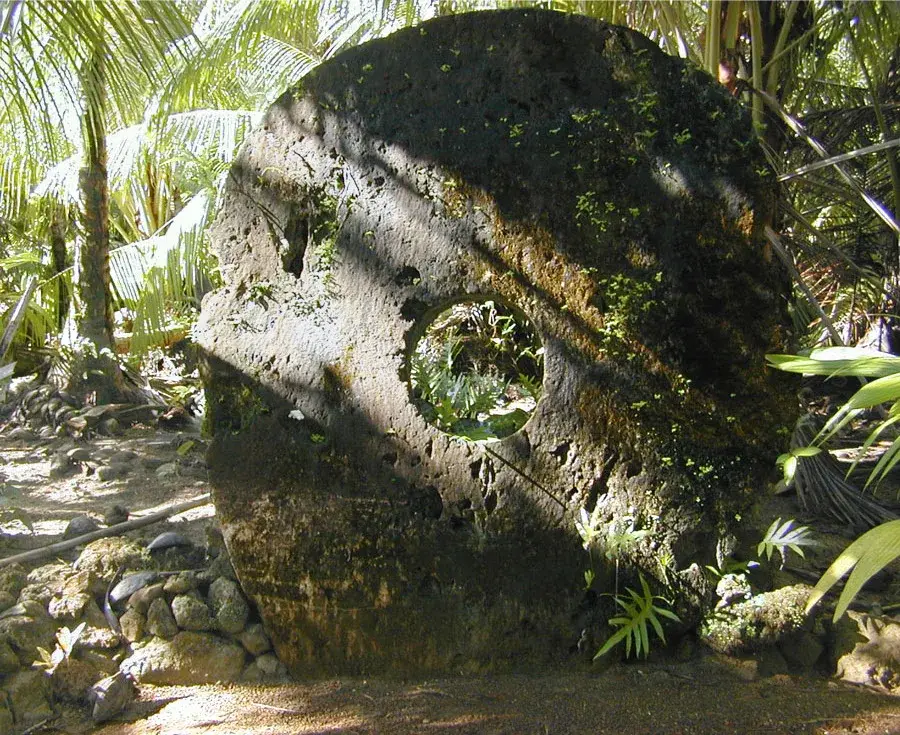
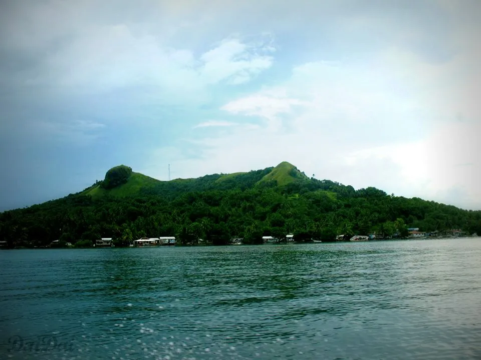
Mount Matade stands as the highest peak on the island of Yap, reaching an elevation of 173 meters. While modest in height compared to continental mountains, it provides the most commanding view over the island's unique landscape. The hiking trail to the summit winds through bustling tropical foliage and showcases the island's ancient metamorphic rock foundations. From the top, hikers are treated to a panoramic 360-degree panorama of the surrounding coastline, coral reefs, and dense mangrove forests. The mountain also serves as a silent witness to history; scattered along its slopes are various relics from World War II, including rusted Japanese anti-aircraft guns and remnants of bunkers. Climbing Mount Matade is a journey that blends physical activity with a deep sense of place, allowing visitors to appreciate both the natural splendor of Micronesia and the historical layers that have shaped the lives of the Yapese people over the decades.
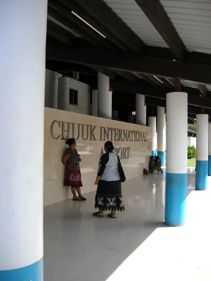
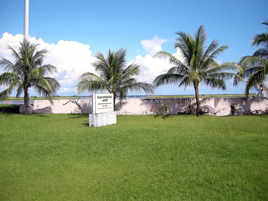
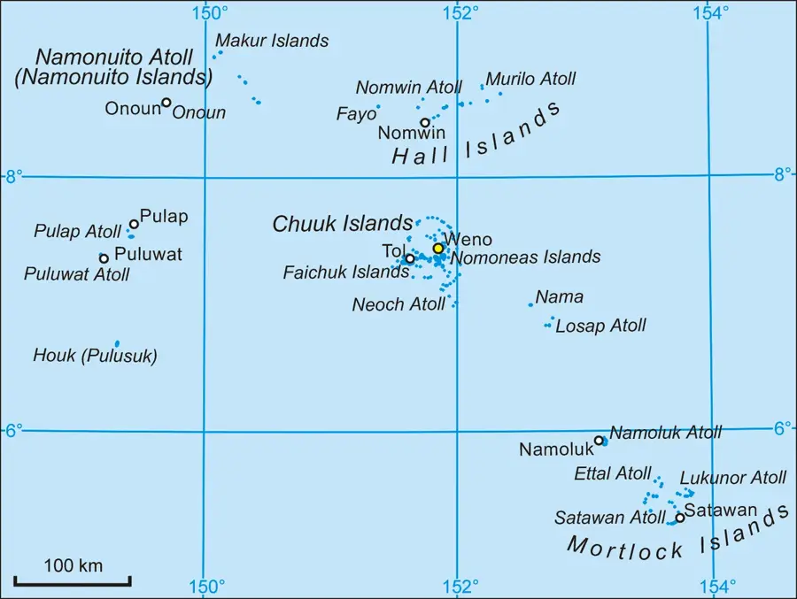
- Location: Micronesia
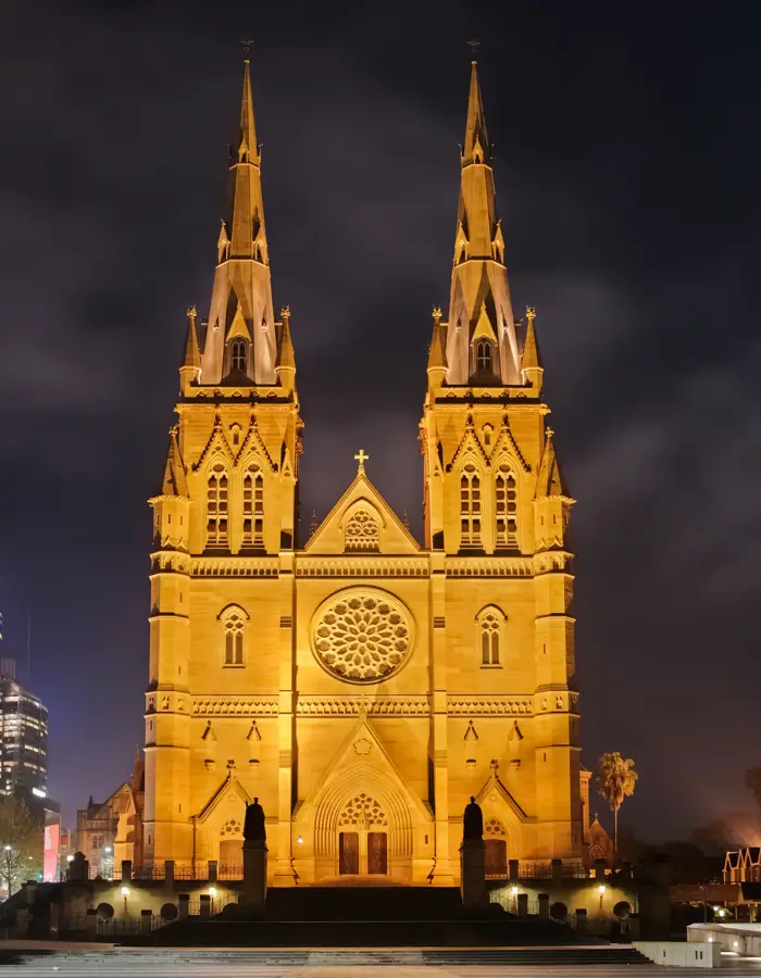
- Top sights: St. Mary's · The Church of Jesus Christ of Latter-day Saints · Yap Living History Museum
- Nearby: Bechiyal Cultural Village (7 km)
Best time to visit & climate
The most pleasant time to visit is Feb–Apr.
| Jan | Feb | Mar | Apr | May | Jun | Jul | Aug | Sep | Oct | Nov | Dec | |
|---|---|---|---|---|---|---|---|---|---|---|---|---|
| Avg °C | 28 | 28 | 28 | 28 | 28 | 28 | 28 | 28 | 28 | 28 | 29 | 29 |
| Rain mm | 148 | 123 | 137 | 139 | 200 | 245 | 328 | 344 | 302 | 257 | 211 | 197 |
📋 Practical info
Geography
Facts
- Elevation is approximately 170 meters
- Offers 360-degree views over Yap
- Features remains of Japanese anti-aircraft guns
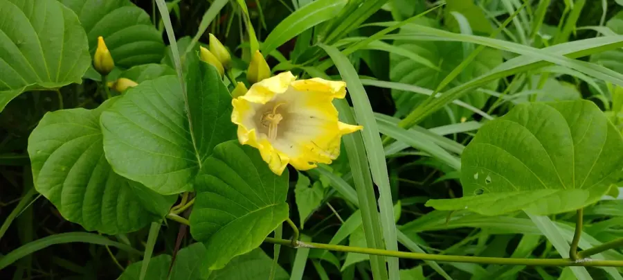
- Vegetation consists of ferns and grasses
- Most important lookout point near Colonia
- Part of the Tamil region of the island
Explore nearby
Notable places around
Route planner — Car & Motorhome
Where do you start? We build the route here, with stops and country notes along the way.
© OpenStreetMap contributors · OpenRouteService
Sights in the town Mount Matade (3)
Sights nearby
Frequently asked questions
Where is Mount Matade situated?
How is the view from the summit?
Are there marked trails?
Is the mountain suitable for families?
Are there any ruins there?
Mount Matade: where is it located?
Mount Matade: what is there to see?
Mount Matade: when is the best time to visit?
Mount Matade: why is it worth visiting?

Nearby cities


History & landmarks

Nature

More places