Plizio Visual Lab
Dhar Tichitt Escarpment

Weather…
Water temperature…
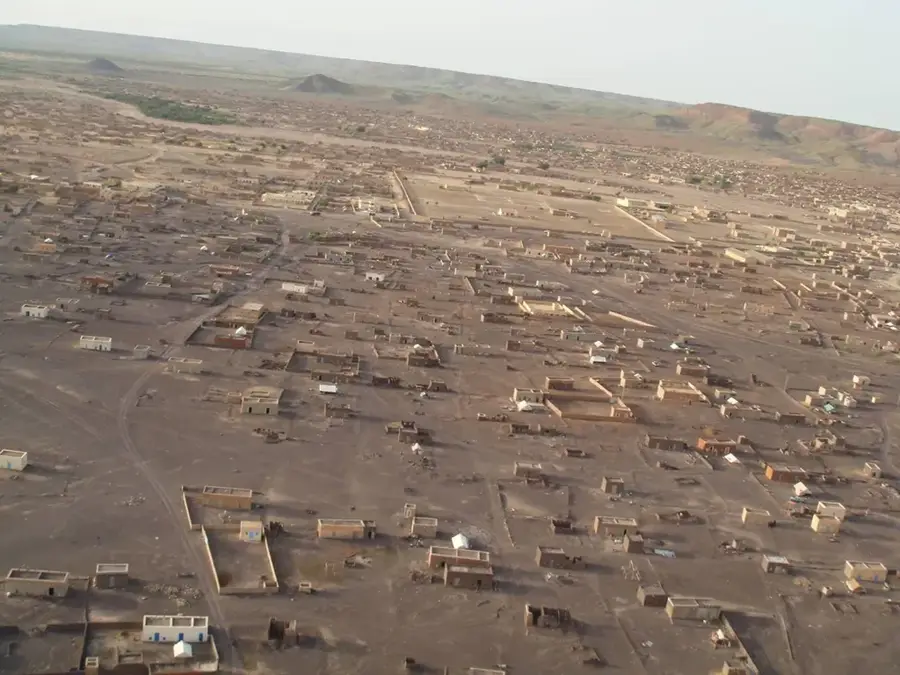
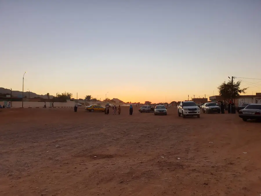
The Dhar Tichitt Escarpment is a formidable sandstone ridge stretching over 200 kilometres across south-central Mauritania, defining the southern edge of the Tagant Plateau. This dramatic geological feature is internationally renowned as one of West Africa's most significant Neolithic archaeological zones. Thousands of years ago, when the Sahara was a fertile savannah, advanced communities built extensive stone settlements along these cliffs, creating a unique urban culture known for its dry-stone masonry. Today, the ruins of these ancient ksars provide a haunting glimpse into a lost civilization that thrived before the desertification of the region. The escarpment has wide-open panoramic views of the vast desert plains below, with its jagged cliffs glowing in hues of ochre and red during sunset. Visitors to this remote area can witness the stark contrast between the prehistoric stone ruins and the shifting sands of the modern Sahara. Dhar Tichitt is a destination for the truly adventurous, combining raw natural beauty with deep historical resonance. The nearby town of Tichitt, a UNESCO World Heritage site, serves as a gateway to exploring this magnificent and archaeologically rich mountain landscape.
- Location: Mauritania
- Nearby: Tichitt-Est (5 km)
Best time to visit & climate
The most pleasant time to visit is Feb, Nov, Dec.
| Jan | Feb | Mar | Apr | May | Jun | Jul | Aug | Sep | Oct | Nov | Dec | |
|---|---|---|---|---|---|---|---|---|---|---|---|---|
| Avg °C | 18 | 21 | 25 | 29 | 33 | 35 | 34 | 32 | 32 | 29 | 24 | 19 |
| Rain mm | 0 | 0 | 4 | 1 | 1 | 8 | 16 | 56 | 28 | 11 | 1 | 0 |
📋 Practical info
Geography
Facts
- UNESCO World Heritage since 1996
- Part of Dhar Tichitt-Walata chain
- Settlements from 2000 BC
- Dry-stone wall constructions
- Formerly a fertile area
- Strategic defensive location
Explore nearby
Notable places around
Route planner — Car & Motorhome
Where do you start? We build the route here, with stops and country notes along the way.
© OpenStreetMap contributors · OpenRouteService
Sights nearby
Frequently asked questions
What does Dhar Tichitt offer?
Is hiking allowed?
What is the terrain like?
Are there animals?
When is the light best?
Dhar Tichitt Escarpment: where is it located?
Dhar Tichitt Escarpment: when is the best time to visit?
Dhar Tichitt Escarpment: why is it worth visiting?

Nearby cities