Plizio Visual Lab
Il-Għażżenin Ridge
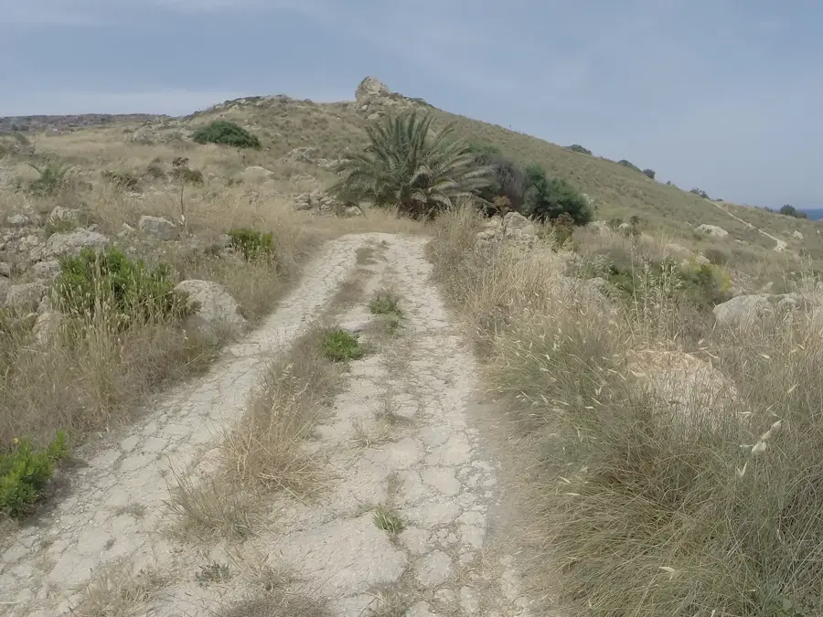
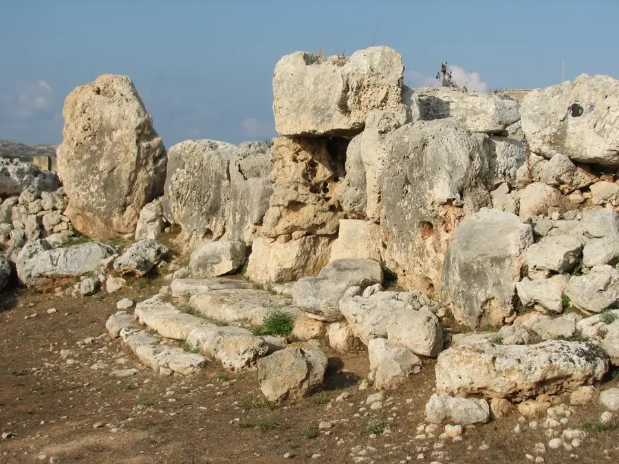
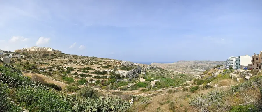
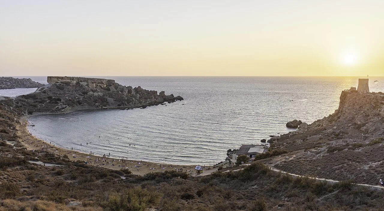
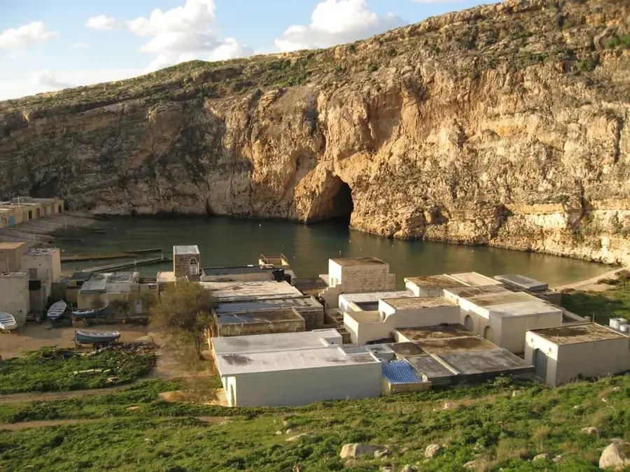
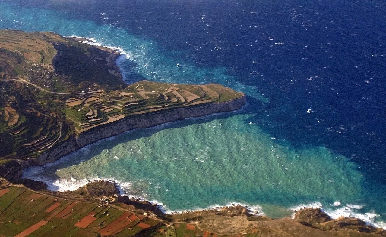
The Il-Għażżenin Ridge near St. Paul's Bay is a prominent coastal formation that dominates the western portion of the bay. This area is deeply intertwined with Malta's maritime history, particularly regarding traditional fishing and coastal defense. The ridge provides a natural elevation that historically allowed for the precise monitoring of sea traffic entering St. Paul's Bay. Geologically, the formation consists of weathered limestone, creating a jagged shoreline punctuated by small sea caves and rocky outcrops. Historically, the area was further fortified during the British colonial period with military installations designed to prevent hostile landings. Today, Il-Għażżenin remains a favored spot for locals and visitors seeking an authentic Maltese coastal experience away from the major hotel developments. The vegetation atop the ridge is characteristic of Maltese coastal garrigue, featuring salt-resistant shrubs and seasonal wildflowers. The name 'Għażżenin' evokes the traditional fishermen who have mended their nets and anchored their boats along this stretch of coast for generations.
- Location: Malta
- Top sights: Golden Sands Grand Ballroom · Golden Bay · Manikata Church
- Nearby: Mellieha Bay (4 km)
Best time to visit & climate
The most pleasant time to visit is May–Jul.
| Jan | Feb | Mar | Apr | May | Jun | Jul | Aug | Sep | Oct | Nov | Dec | |
|---|---|---|---|---|---|---|---|---|---|---|---|---|
| Avg °C | 15 | 14 | 15 | 16 | 19 | 23 | 26 | 27 | 25 | 23 | 20 | 16 |
| Rain mm | 74 | 65 | 51 | 33 | 17 | 11 | 4 | 10 | 63 | 82 | 95 | 82 |
📋 Practical info
Geography
Facts
- The ridge overlooks the popular Il-Għażżenin swimming area.
- Remnants of coastal fortifications from the colonial era can be found here.
- The name relates to a local term for leisure or a relaxed pace of life.
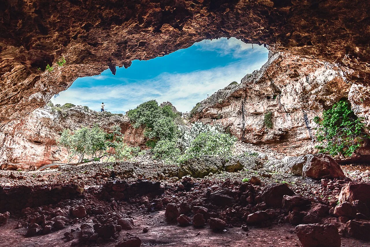
- Geologically, the area is defined by sharp karst limestone features.
- The historic Wignacourt Tower defense system is located nearby.
- The waters off the ridge are noted for their high marine biodiversity.
Explore nearby
Notable places around
Route planner — Car & Motorhome
Where do you start? We build the route here, with stops and country notes along the way.
© OpenStreetMap contributors · OpenRouteService
Sights in the town Il-Għażżenin Ridge (10)
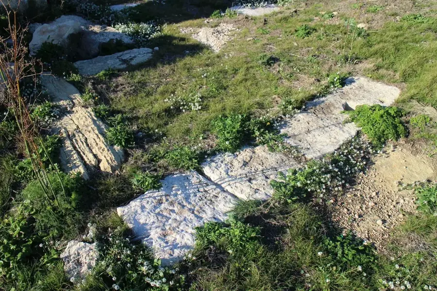
Cart Ruts
Parallel grooves carved into rock, of unknown age.
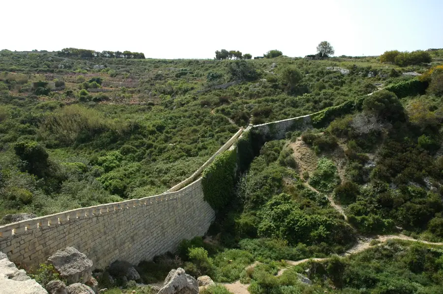
Aqueduct
Historic aqueduct in Malta, part of the water supply system.
Il-Majjistral Nature & History Park
Nature reserve in Mellieha, Malta, with natural and cultural heritage.
Ir-Ramla t' Għajn Tuffieħa
Sandy beach also known as Riviera Martinique, with historical references.
Qarraba Beach
Small beach on Malta's northwest coast.
Għajn Żnuber Tower🗼 tower
Rural structure in Mellieħa, Malta, a former watchtower.
Sights nearby
Frequently asked questions
Where is this ridge located?
Are there swimming spots there?
Does the ridge offer good photo opportunities?
What is the terrain like?
Is there public transport?
Il-Għażżenin Ridge: where is it located?
Il-Għażżenin Ridge: what is there to see?
Il-Għażżenin Ridge: when is the best time to visit?

Nature
More places