Plizio Visual Lab
Wardija Highland
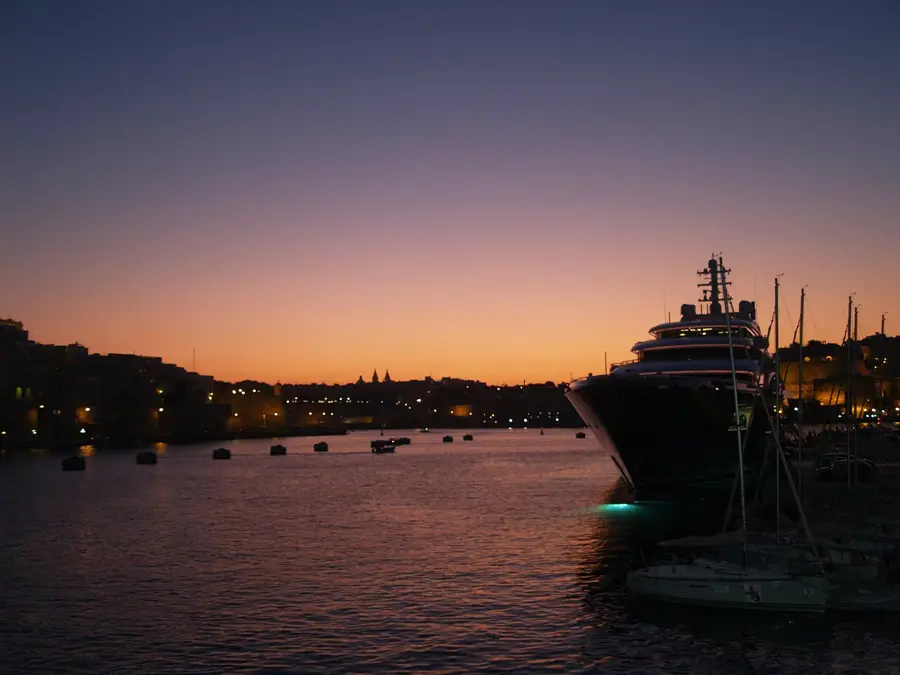
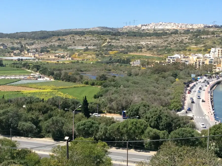
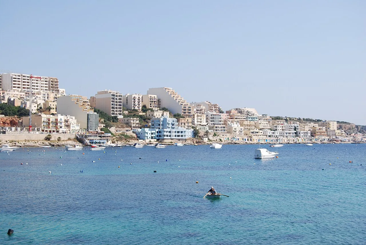
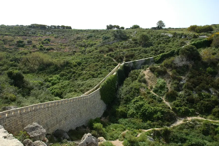
The Wardija Highland in northern Malta is a prominent geological feature offering expansive views over St. Paul's Bay and the Pwales Valley. This region holds significant archaeological value, containing the remains of a Punic-Roman settlement known as Wardija ta' San Ġorġ. The landscape is characterized by limestone plateaus and terraced fields that have been used for agriculture, particularly olive and vine cultivation, for centuries. During World War II, the highland served as a strategic observation point for the island's coastal defense due to its elevated position. Today, Wardija is a quiet rural area distinguished by traditional Maltese farmhouses and dense Mediterranean maquis vegetation. The geological composition primarily consists of Upper Coralline Limestone, which is resistant to erosion and forms steep, protective slopes. This combination of natural fortification and fertile land has made the area a preferred site for human habitation for over three millennia.
- Location: Malta
- Top sights: Simar Nature Reserve · Standing stone · Saint Paul's Island Viewpoint
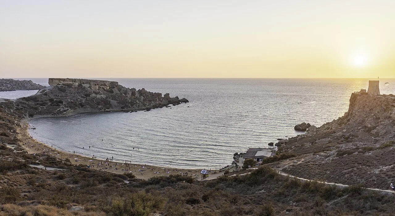
- Nearby: Gnejna Bay (4 km)
Best time to visit & climate
The most pleasant time to visit is May–Jul.
| Jan | Feb | Mar | Apr | May | Jun | Jul | Aug | Sep | Oct | Nov | Dec | |
|---|---|---|---|---|---|---|---|---|---|---|---|---|
| Avg °C | 15 | 14 | 15 | 16 | 19 | 23 | 26 | 27 | 25 | 23 | 20 | 16 |
| Rain mm | 74 | 65 | 51 | 33 | 17 | 11 | 4 | 10 | 63 | 82 | 95 | 82 |
📋 Practical info
Geography
Facts
- The highland reaches a maximum elevation of approximately 150 meters above sea level.
- Archaeological evidence indicates that the area has been inhabited since the Bronze Age.
- The ruins at Wardija ta' San Ġorġ include Punic tombs and Roman water cisterns.
- The Pwales Valley below the ridge is one of the most fertile agricultural plains in Malta.
- The vegetation includes rare endemic species of the Maltese floral landscape.
- Wardija is famous for hosting some of the oldest olive trees in the archipelago.
Explore nearby
Notable places around
Route planner — Car & Motorhome
Where do you start? We build the route here, with stops and country notes along the way.
© OpenStreetMap contributors · OpenRouteService
Sights in the town Wardija Highland (10)
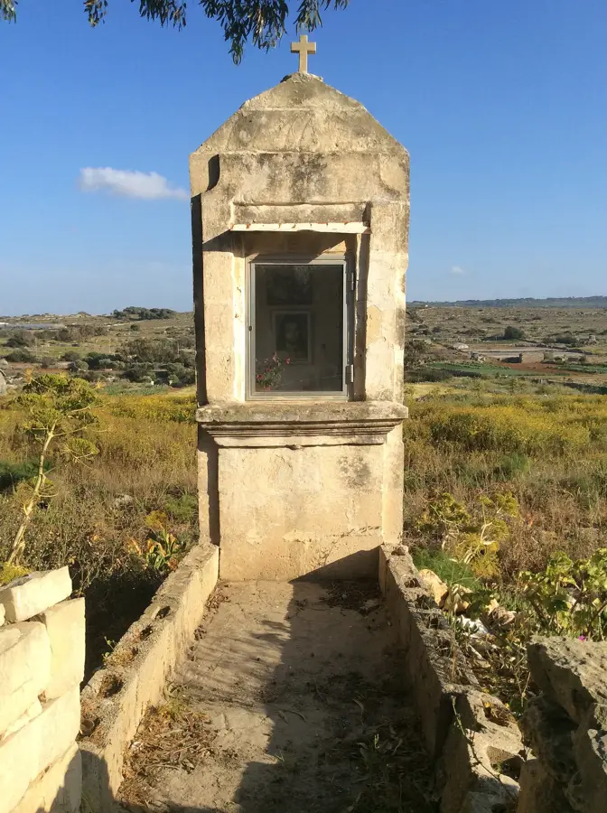
Pilgrim Crosses
Crosses left by pilgrims. Signs of religious tradition.
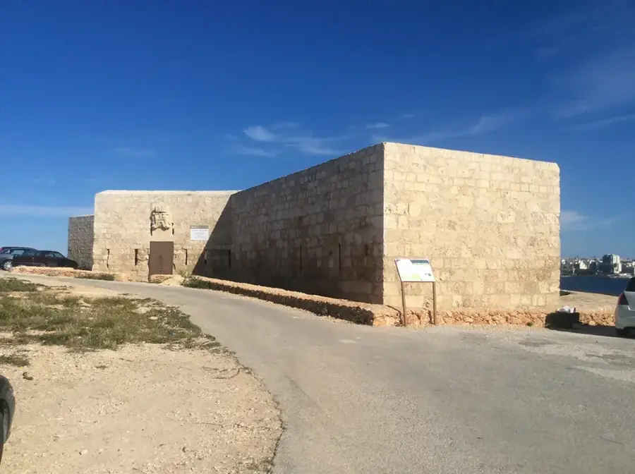
Wardija Battery
Fortification in Malta. Used for coastal defense.
Palazzo Pescatore🏰 castle
Palace in Malta. Historic building with architectural value.
Bajja tal-Għażżelin
Bay on the Maltese coast. Sandy or pebbly beach.
It-Tempji ta' Skorba
Megalithic temple remains in Malta. Prehistoric cult site.
Wignacourt Tower🗼 tower
Watchtower in Malta. Part of 17th-century coastal defenses.
Sights nearby
Frequently asked questions
What is the Wardija Highland?
Are there historical buildings there?
Is Wardija Highland good for hiking?
How is the view from up there?
Are there olive oil tastings there?
Wardija Highland: where is it located?
Wardija Highland: what is there to see?
Wardija Highland: when is the best time to visit?
Wardija Highland: why is it worth visiting?

Nature

More places