Plizio Visual Lab
Ras il-Pellegrin Plateau
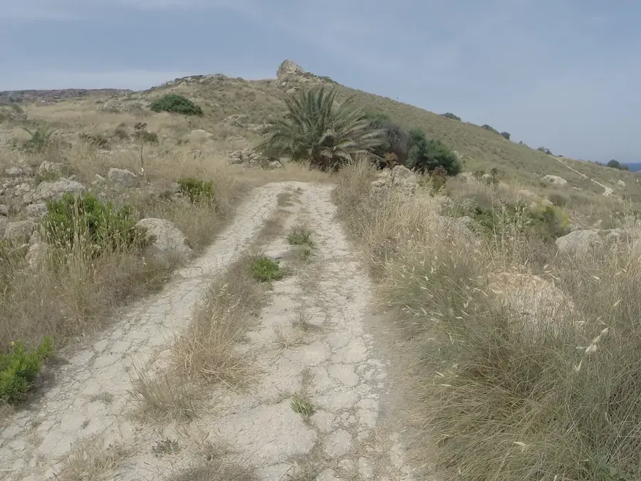
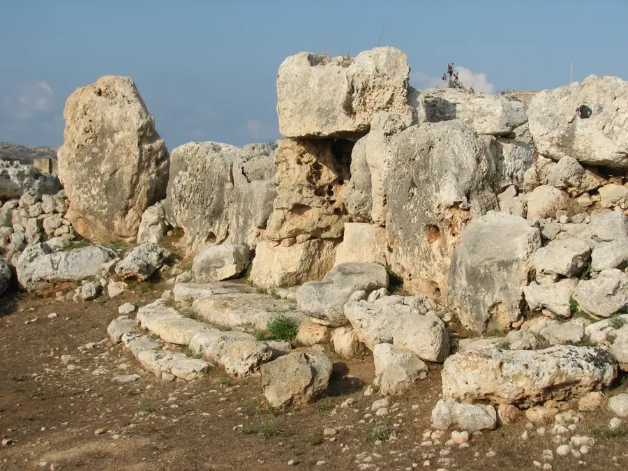
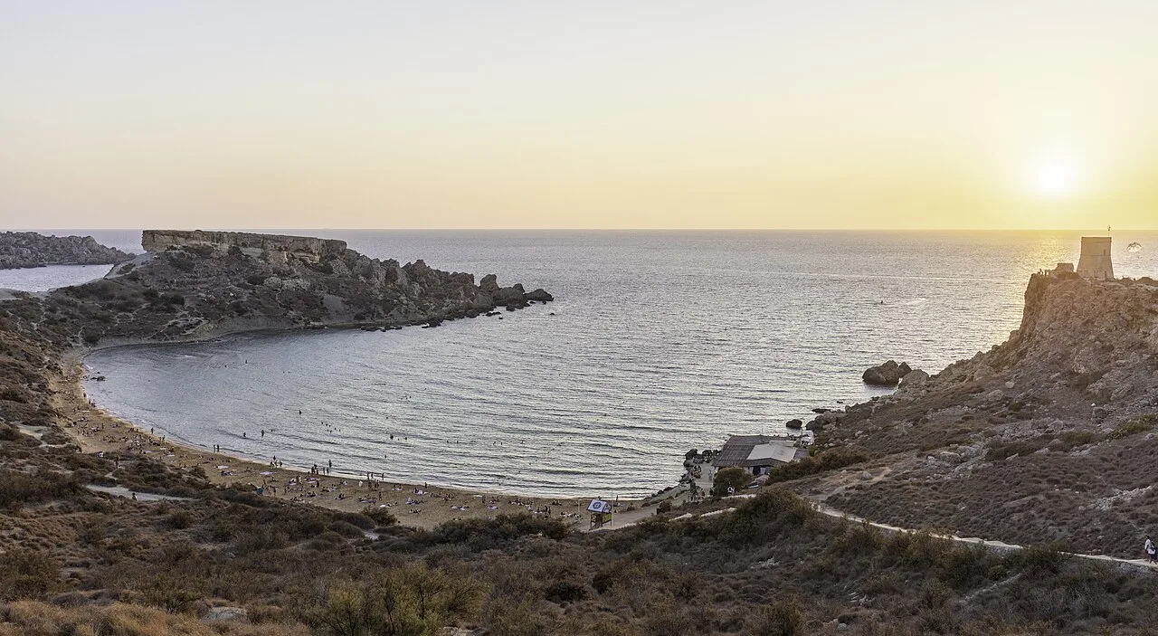
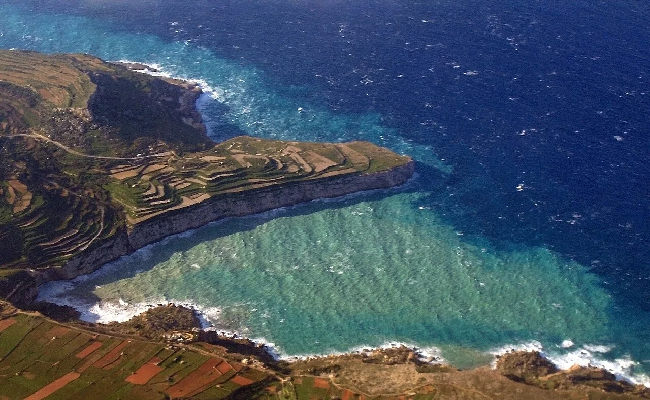
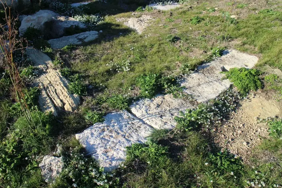
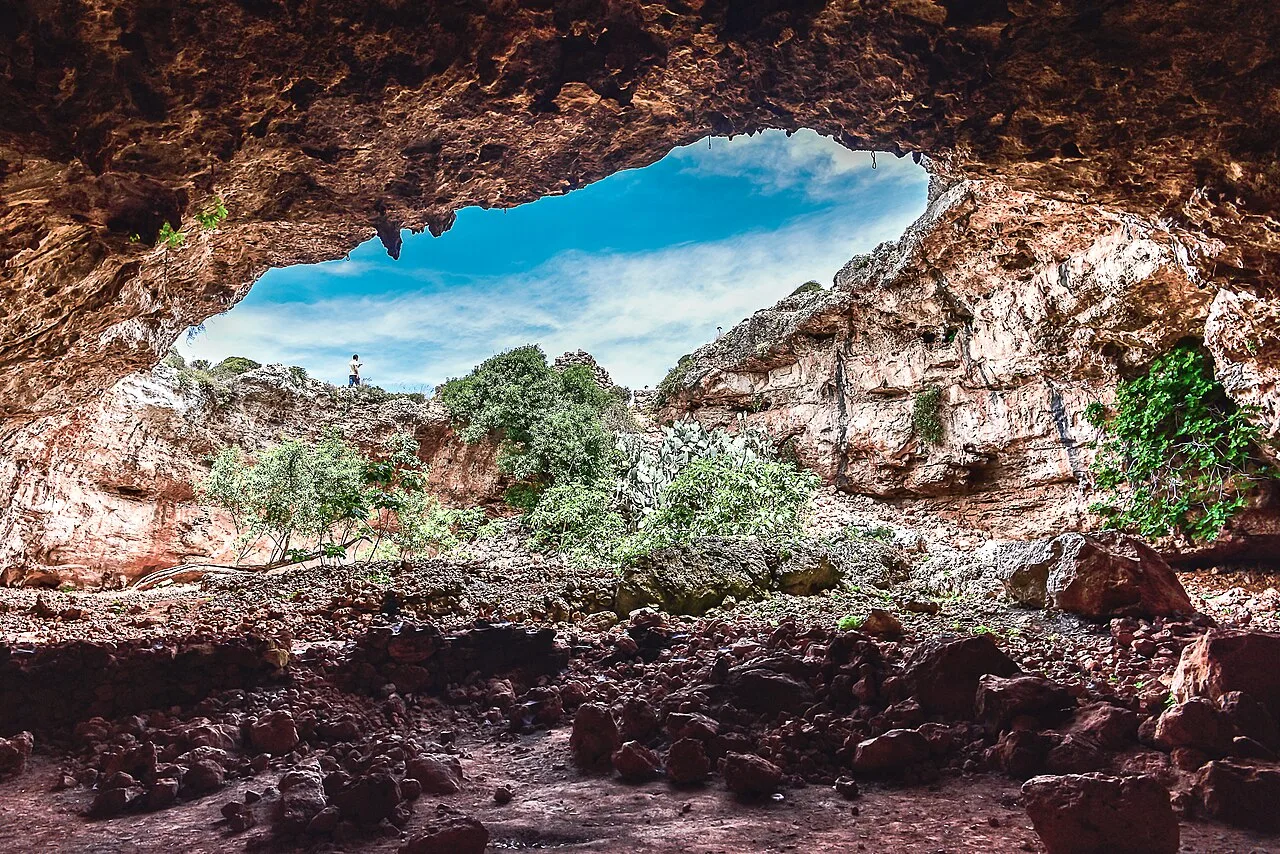
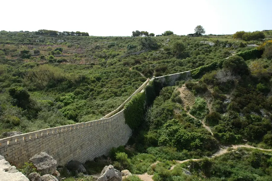
The Ras il-Pellegrin Plateau is located on the western coast of Malta, north of Ġnejna Bay, forming a distinct headland. This geological formation features a cap of Upper Coralline Limestone resting on soft Blue Clay slopes. This structural instability leads to characteristic landslips and a dramatic coastal morphology. Historically, the plateau served as a crucial lookout point for monitoring hostile naval movements, supported by archaeological finds of Roman pottery in the vicinity. The plateau provides a unique environment for specialized flora that thrives in the saline soils of the coastal zone. Hikers frequent the area for its untouched nature and expansive views across the open sea toward the cliffs of Gozo. The region is also of significant interest to geologists as the stratigraphic sequence of the Maltese islands is particularly well-exposed here.
- Location: Malta
- Top sights: Ġnejna Bay · Qarraba Beach · Ir-Ramla tal-Ġnejna
- Nearby: Popeye Village (4 km)
Best time to visit & climate
The most pleasant time to visit is May–Jul.
| Jan | Feb | Mar | Apr | May | Jun | Jul | Aug | Sep | Oct | Nov | Dec | |
|---|---|---|---|---|---|---|---|---|---|---|---|---|
| Avg °C | 15 | 14 | 15 | 16 | 19 | 23 | 26 | 27 | 25 | 23 | 20 | 16 |
| Rain mm | 74 | 65 | 51 | 33 | 17 | 11 | 4 | 10 | 63 | 82 | 95 | 82 |
📋 Practical info
Geography
Facts
- The plateau consists of a hard limestone cap sitting on soft clay.
- Archaeological surveys have revealed Roman settlement remains on the plateau.
- The coastline is shaped by cyclic landslides caused by erosion.
- The name 'Pellegrin' suggests historical links to maritime pilgrims or sailors.
- Rare orchid species bloom here during the wet winter months.
- The highest point of the headland is approximately 70 meters above sea level.
Explore nearby
Notable places around
Route planner — Car & Motorhome
Where do you start? We build the route here, with stops and country notes along the way.
© OpenStreetMap contributors · OpenRouteService
Sights in the town Ras il-Pellegrin Plateau (10)
Ir-Ramla t' Għajn Tuffieħa
Sandy beach near the former Riviera Martinique hotel.
Torri ta' Lippija🗼 tower
17th-century Lascaris Tower, a fortification.
Golden Bay
Sandy bay with tourist facilities on the west coast.
Golden Sands Grand Ballroom
Large ballroom at the Golden Sands resort in Malta.
Windrose Giant Cat Weathervane
Giant cat-shaped weather vane in Golden Bay.
Roman Baths - not accessable
Inaccessible ruins of Roman baths on the coast.
Sights nearby
Frequently asked questions
Where is Ras il-Pellegrin located?
Is the descent to the sea safe?
Does the place offer shade?
Is the place accessible by bus?
Are there cliffs there?
Ras il-Pellegrin Plateau: where is it located?
Ras il-Pellegrin Plateau: what is there to see?
Ras il-Pellegrin Plateau: when is the best time to visit?
Ras il-Pellegrin Plateau: why is it worth visiting?

Nature
More places