Plizio Visual Lab
Xlendi Bay
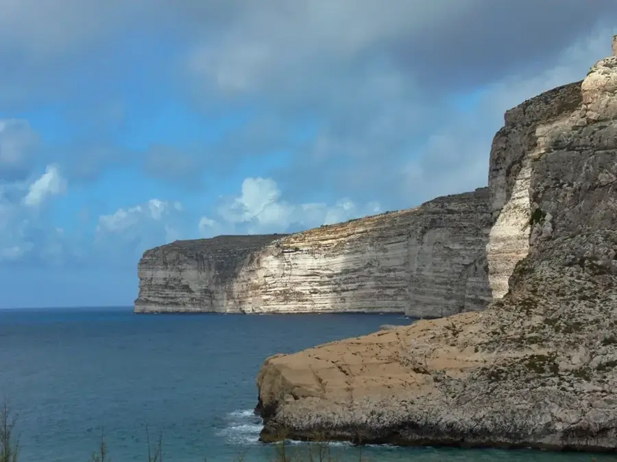
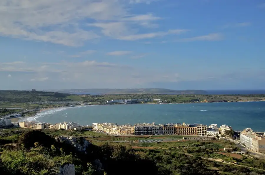
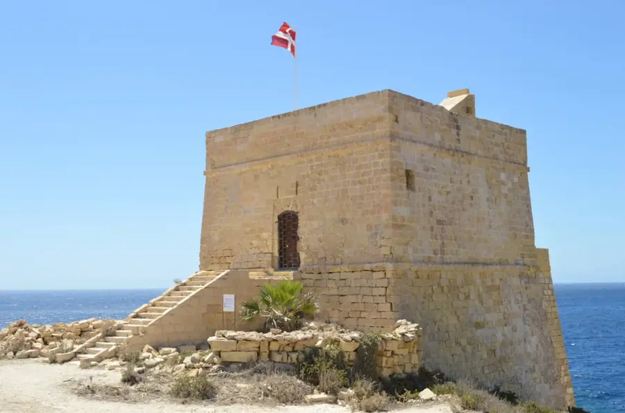
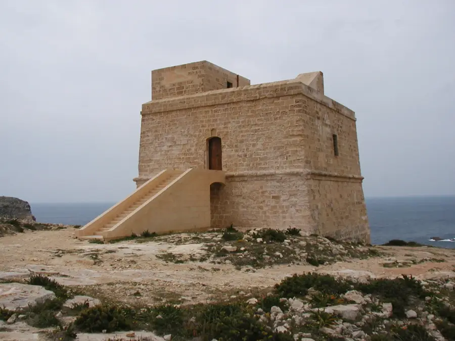
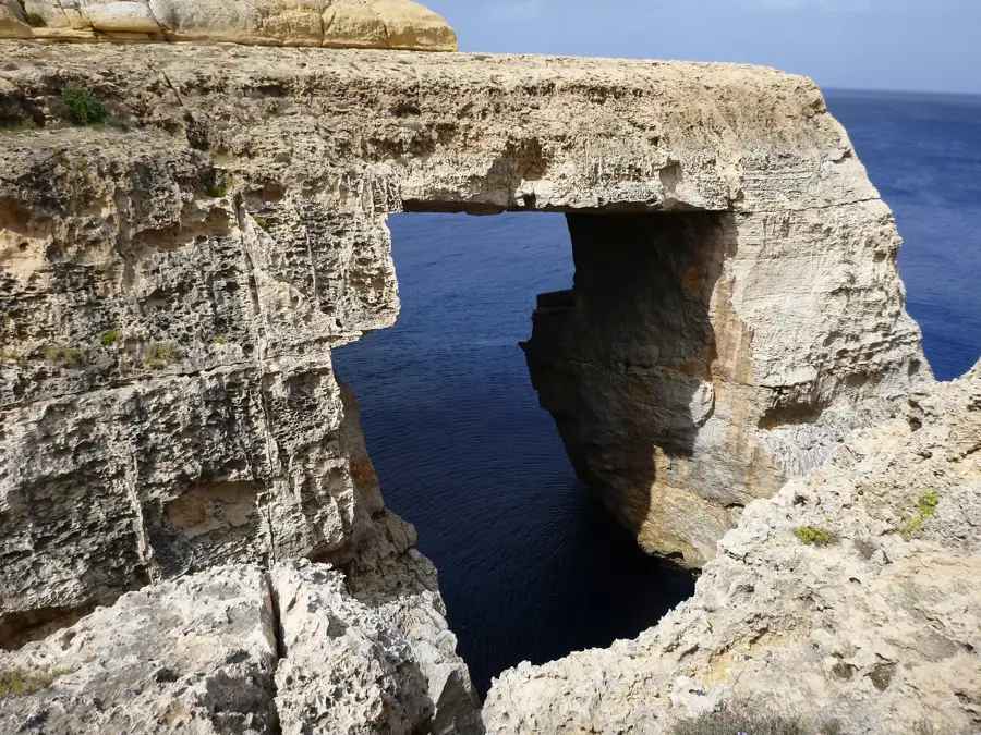
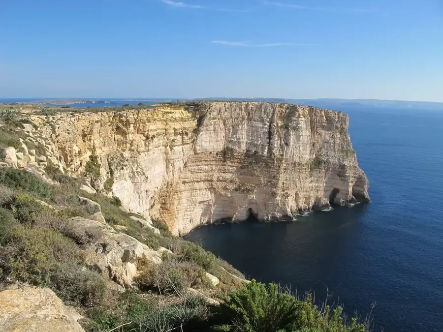
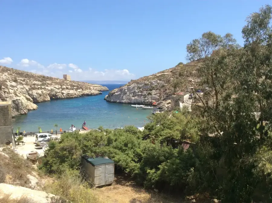
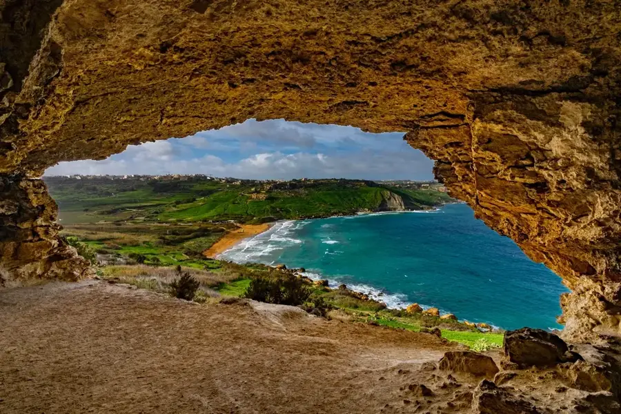
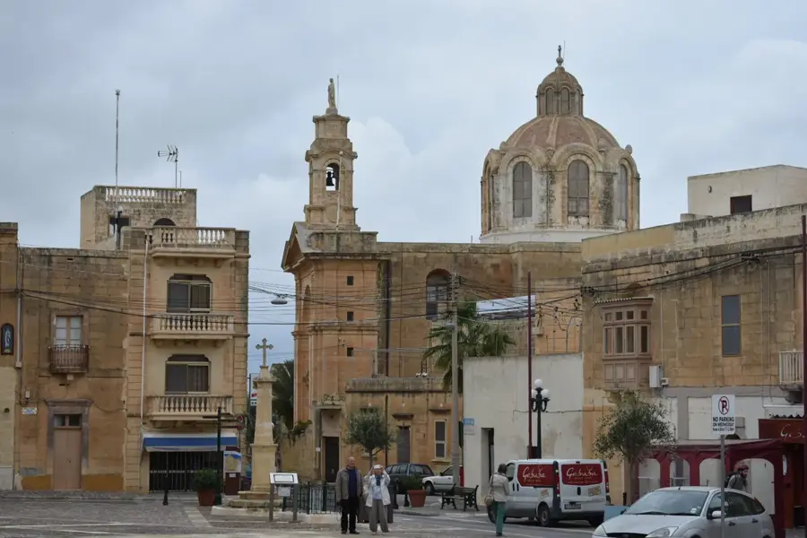
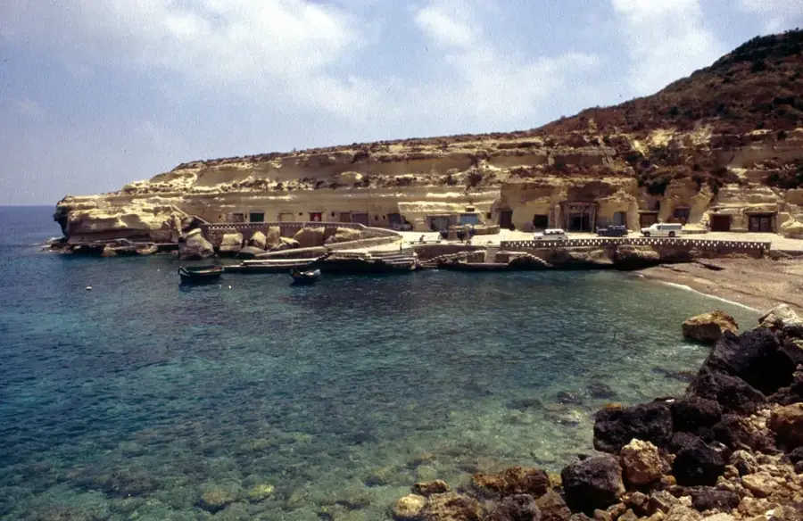
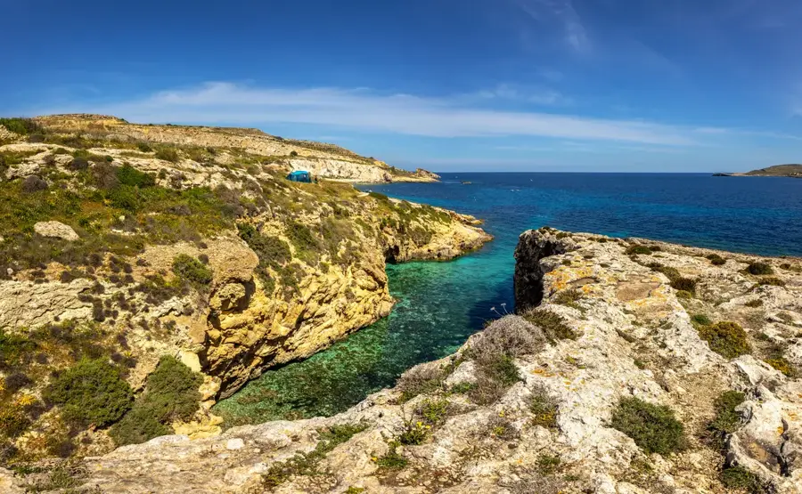
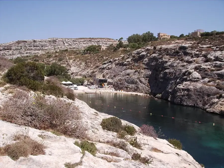
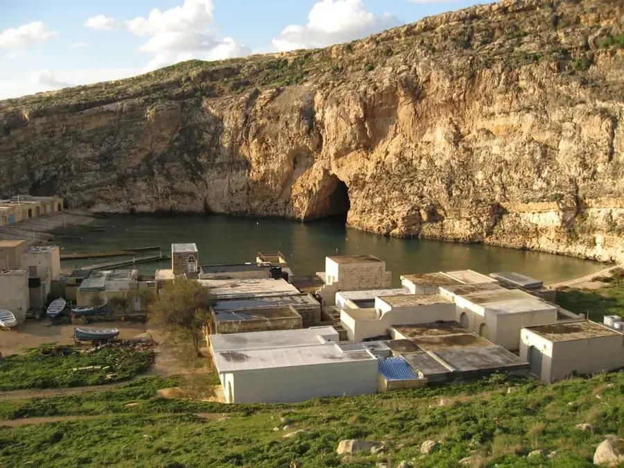
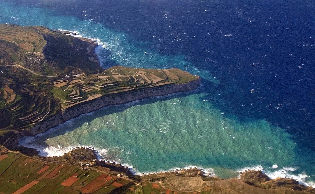
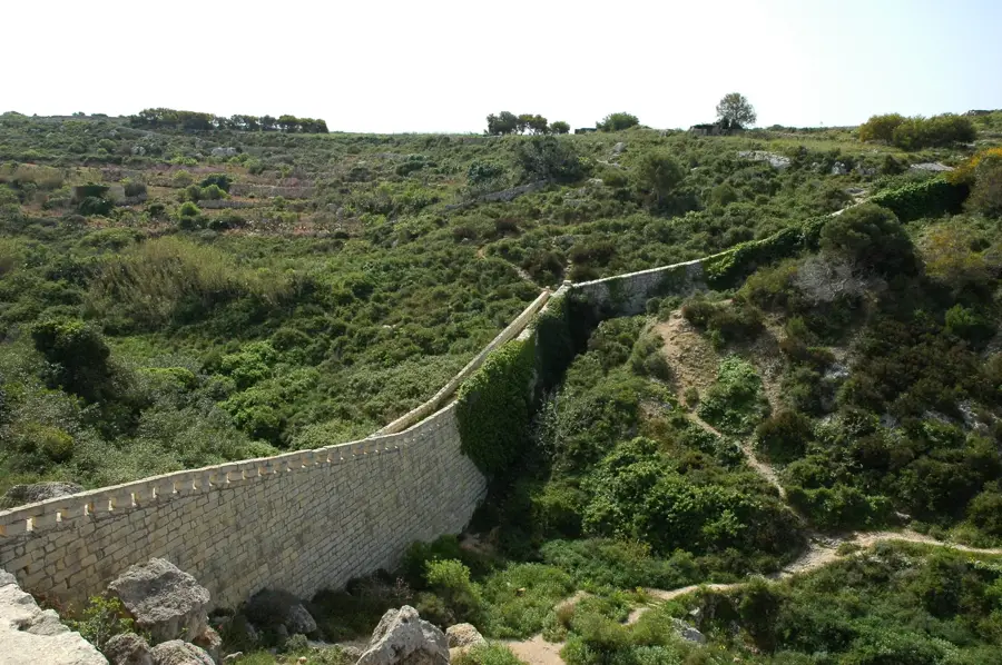
Xlendi Bay is a pretty inlet on the southwestern coast of Gozo, characterized by its deep canyon-like structure and towering cliffs. Historically, the bay served as a safe anchorage for Roman and Byzantine vessels, as evidenced by numerous amphorae and shipwrecks found at depths of 40 to 70 meters. The Xlendi Tower, completed in 1650, stands at the mouth of the bay to protect against corsair incursions. This coastal settlement evolved from a quiet fishing village into a lively seaside destination during the 20th century. A unique feature is the Kantra Valley, which leads to a small bridge providing access to the salt pans carved into the limestone. The bay's waters are known for their clarity, making it a popular spot for snorkeling and diving. Ongoing archaeological surveys continue to reveal the bay's importance as a strategic maritime hub over the past 2,000 years.
- Location: Malta
- Nearby: Għasri (4 km)
Best time to visit & climate
The most pleasant time to visit is May–Jul.
| Jan | Feb | Mar | Apr | May | Jun | Jul | Aug | Sep | Oct | Nov | Dec | |
|---|---|---|---|---|---|---|---|---|---|---|---|---|
| Avg °C | 15 | 14 | 15 | 16 | 19 | 22 | 25 | 26 | 25 | 23 | 20 | 17 |
| Rain mm | 74 | 67 | 53 | 35 | 17 | 12 | 4 | 10 | 63 | 83 | 92 | 83 |
📋 Practical info
Geography
Facts
- The Xlendi watchtower was built in 1650 during the reign of Grand Master Lascaris.
- Underwater excavations have identified Roman shipwrecks at depths between 40 and 70 meters.
- The bay is flanking by cliffs that reach heights of over 100 meters above sea level.
- Salt pans carved into the coastal rocks date back to the 18th and 19th centuries.
- The Kantra Valley bridge provides a scenic walkway originally used by salt harvesters.
- Xlendi was one of the first bays in Gozo to be featured in 17th-century maritime maps.
Explore nearby
Notable places around
Route planner — Car & Motorhome
Where do you start? We build the route here, with stops and country notes along the way.
© OpenStreetMap contributors · OpenRouteService
Sights in the town Xlendi Bay (1)
Sights nearby
Frequently asked questions
What makes Xlendi Bay so popular?
Is the beach sandy?
Is Xlendi good for diving?
Is there parking available?
Can you hike on the cliffs?
Xlendi Bay: where is it located?
Xlendi Bay: when is the best time to visit?
Xlendi Bay: why is it worth visiting?

Nearby cities

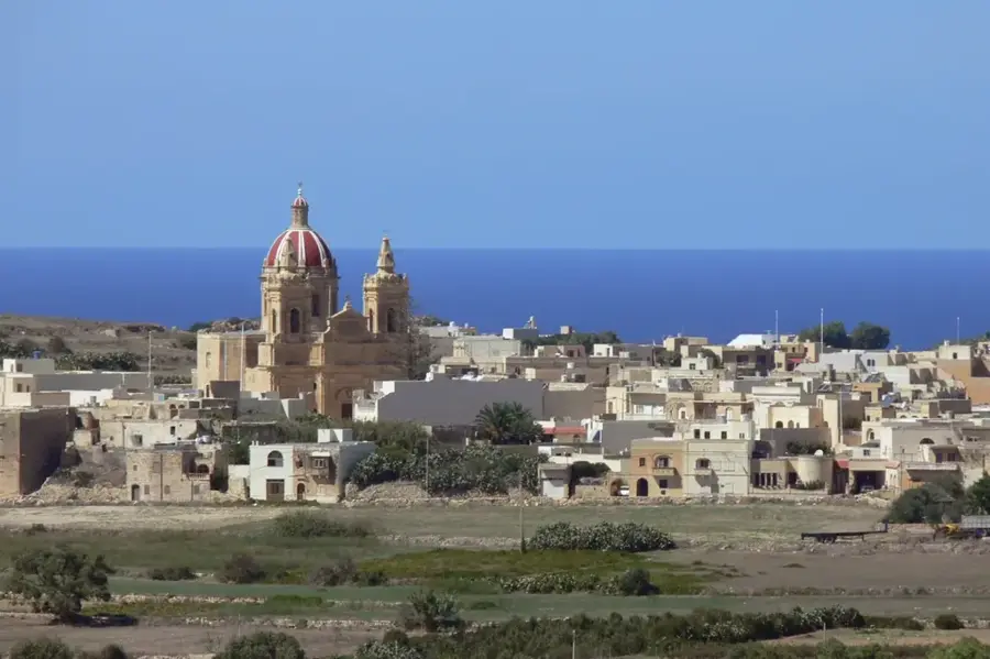
History & landmarks
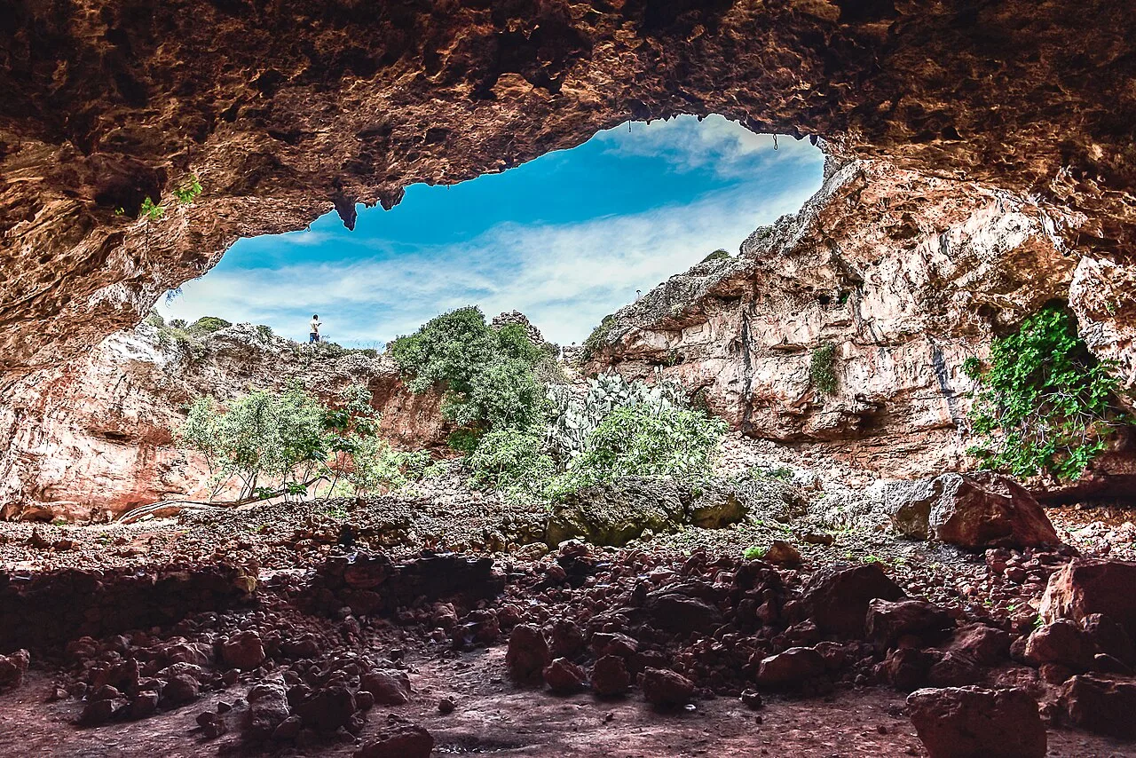
Nature

More places