Plizio Visual Lab
Diré
ℹ️Practical info — Diré
▾
🌤 Weather — 5 days
📍 Nearby
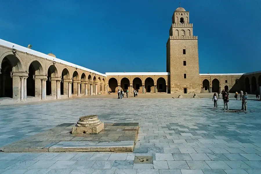
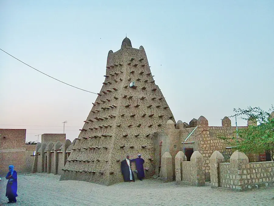
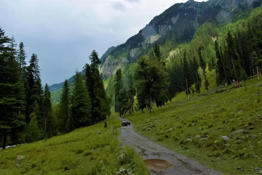
Sights nearby
💡 Tips
- The Niger ferry or pirogues are an essential means of transport; negotiate prices in advance.
- Visit the market in the early morning before the extreme desert heat sets in.
- Electricity and running water can be unreliable; bring a power bank.
- Wear a scarf or turban to protect yourself from the dusty Harmattan wind.
🍽 Food
Right on the riverbank you can see local fish being grilled and sold.
The strong, sweet green tea is prepared in small tea shops around the market.
A quick and nutritious breakfast sold at street stalls.
🛍 Shopping · 🧘 Quiet spots
Silver jewelry is often offered by nomadic traders in the main market.
Handmade bags and belts from local workshops are a popular souvenir.
Watch the quiet activity of the pirogues on the water in the cool evening air.
A place of contemplation with traditional mud architecture, away from the noisy market.
Water temperature…
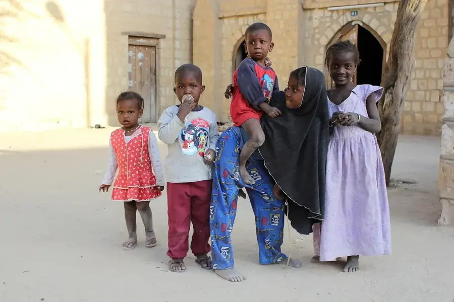
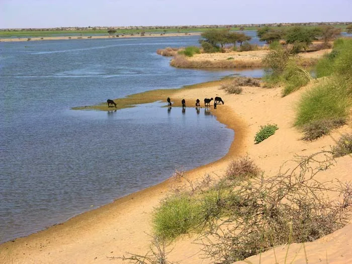
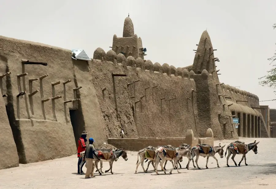
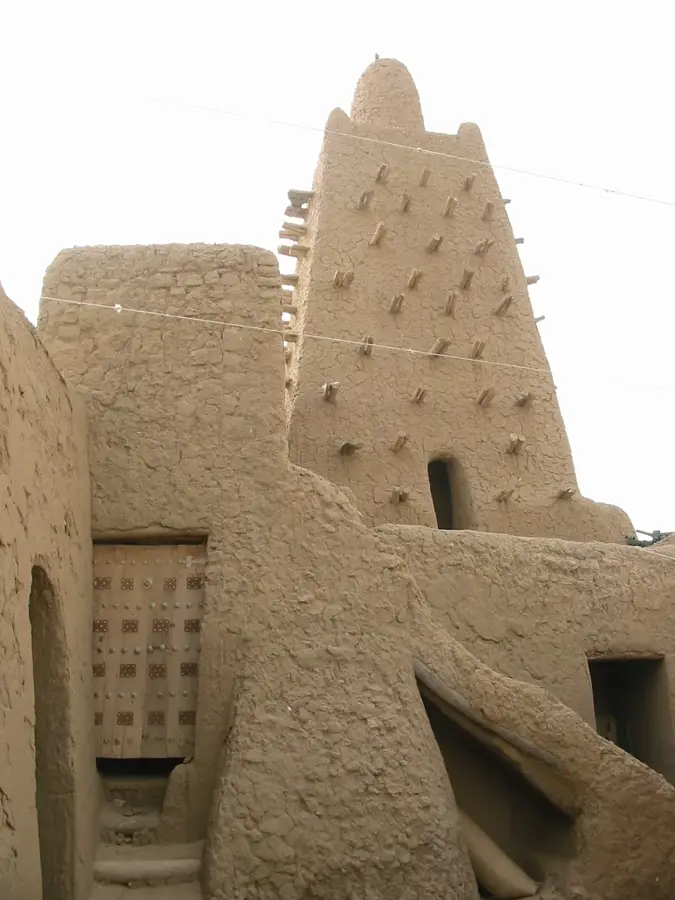
Diré is a historic town situated on the banks of the Niger River in the Timbuktu Region of northern Mali. Located in an agriculturally advantageous zone of the Niger Bend, the town is specifically noted for its wheat and rice cultivation, distinguishing it from the surrounding arid desert landscapes. As a vital commercial hub, Diré serves as a bridge between the cities of Mopti and Timbuktu, with the Niger River functioning as the primary transportation artery. Historically, the town was an integral part of the Songhai Empire, and it maintains cultural influences from that era in its social fabric and architecture. The population is a diverse blend of Songhai, Tuareg, and Fulani peoples, manifesting in an animated cultural exchange at local markets. The town is also characterized by its traditional mud-brick structures, expertly designed for the extreme Sahelian climate. Despite its geographic remoteness, Diré remains an essential center for regional supplies and a testament to the centuries-old civilization thriving along the great river. The surrounding fertile lands are utilized for farming following the annual recession of floodwaters.
- Location: Mali
- Nearby: Goundam (57 km)
- Population: ~31.348 (2024)
Best time to visit & climate
The most pleasant time to visit is Jan, Feb, Dec.
| Jan | Feb | Mar | Apr | May | Jun | Jul | Aug | Sep | Oct | Nov | Dec | |
|---|---|---|---|---|---|---|---|---|---|---|---|---|
| Avg °C | 20 | 24 | 28 | 32 | 35 | 35 | 33 | 31 | 31 | 31 | 26 | 22 |
| Rain mm | 1 | 1 | 0 | 2 | 4 | 24 | 64 | 110 | 45 | 6 | 0 | 0 |
Geography
Facts
- Diré is the administrative seat of the Diré Cercle in the Timbuktu Region.
- The town is located about 80 kilometers southwest of Timbuktu on the Niger River.
- The population of the commune was approximately 22,365 in 2009.
- Diré is one of the rare areas in Mali where wheat is actively cultivated.
- The Niger River serves as the only dependable transportation route during high water.
- The town features specialized irrigation systems for rice production.
Explore nearby
Notable places around
Route planner — Car & Motorhome
Where do you start? We build the route here, with stops and country notes along the way.
© OpenStreetMap contributors · OpenRouteService
Frequently asked questions
What is Diré?
How is access?
What can you do?
Is it safe?
When to visit?
Diré: where is it located?
Diré: when is the best time to visit?
Diré: why is it worth visiting?

Nearby cities


History & landmarks
Nature
More places