Plizio Visual Lab
Rotenboden
ℹ️Practical info — Rotenboden
▾
🌤 Weather — 5 days
📍 Nearby
Sights nearby
💡 Tips
- Features some of the best sweeping views of the Rhine valley; bring a camera, especially at sunset.
- The roads up to Triesenberg are steep and winding; drive carefully or use the reliable yellow postal buses.
- It's a great base for exploring higher alpine areas like Malbun.
- Visit the local Walser museum nearby to understand the unique cultural heritage of this mountain community.
🍽 Food
A must-try classic: cheese spätzle served with applesauce, best enjoyed in a traditional Triesenberg inn.
Try the locally produced cured sausages made according to old Walser traditions.
Relax on a sun terrace with a cold locally brewed Brauhaus beer.
🛍 Shopping · 🧘 Quiet spots
Look for traditional wooden crafts and souvenirs in the small shops around Triesenberg center.
Stop by a local dairy shop to buy hard mountain cheese to take home.
A beautiful, serene walking path nearby offering meditation spots and gorgeous valley vistas.
The area around the striking onion-domed church is peaceful and provides great photo opportunities.
Water temperature…
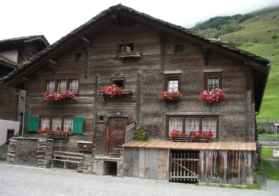
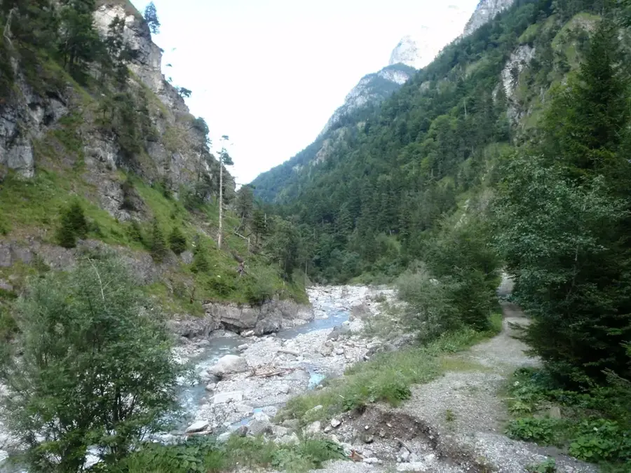
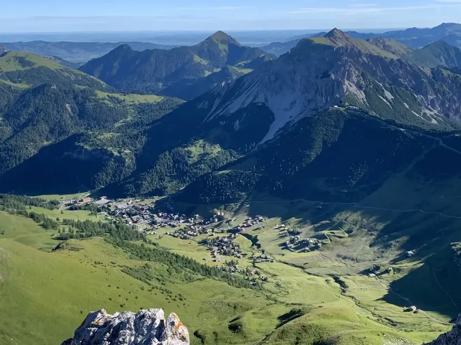
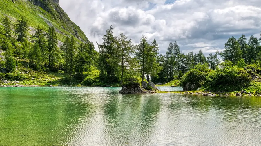
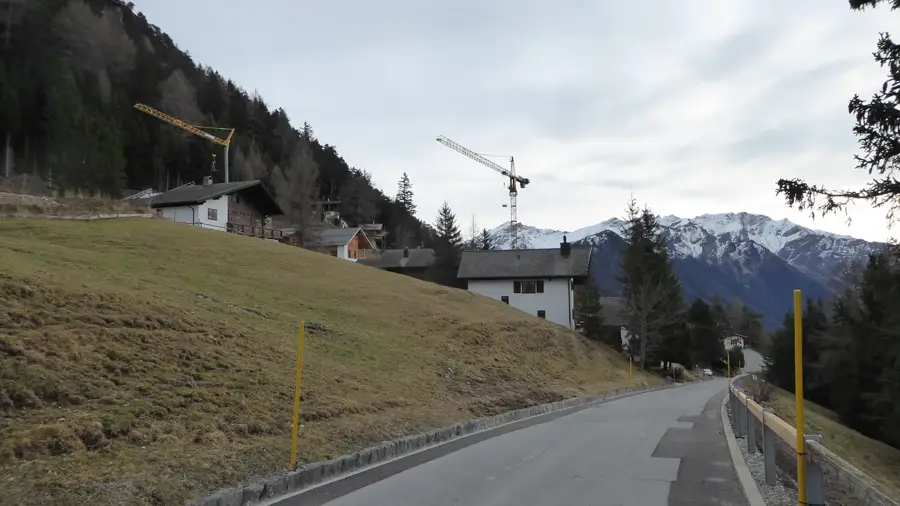
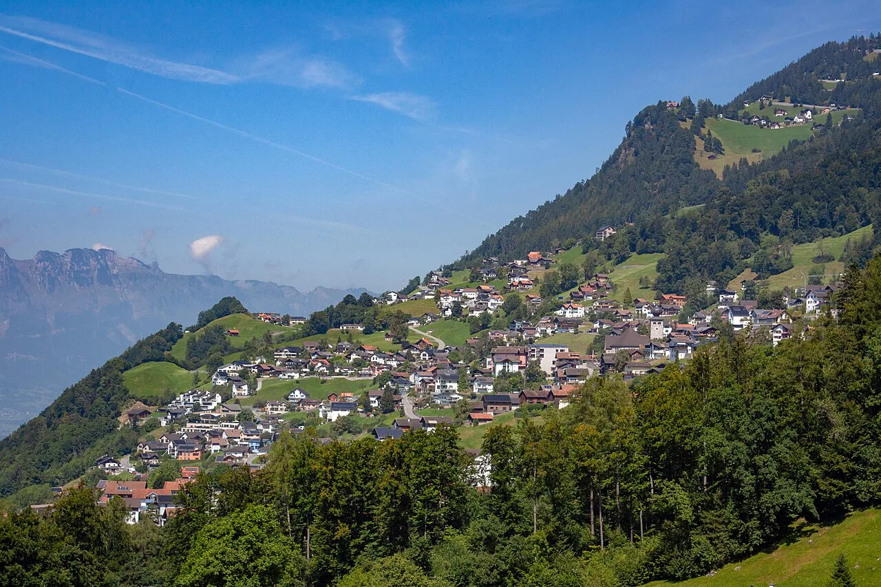
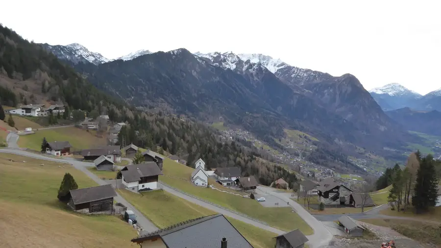
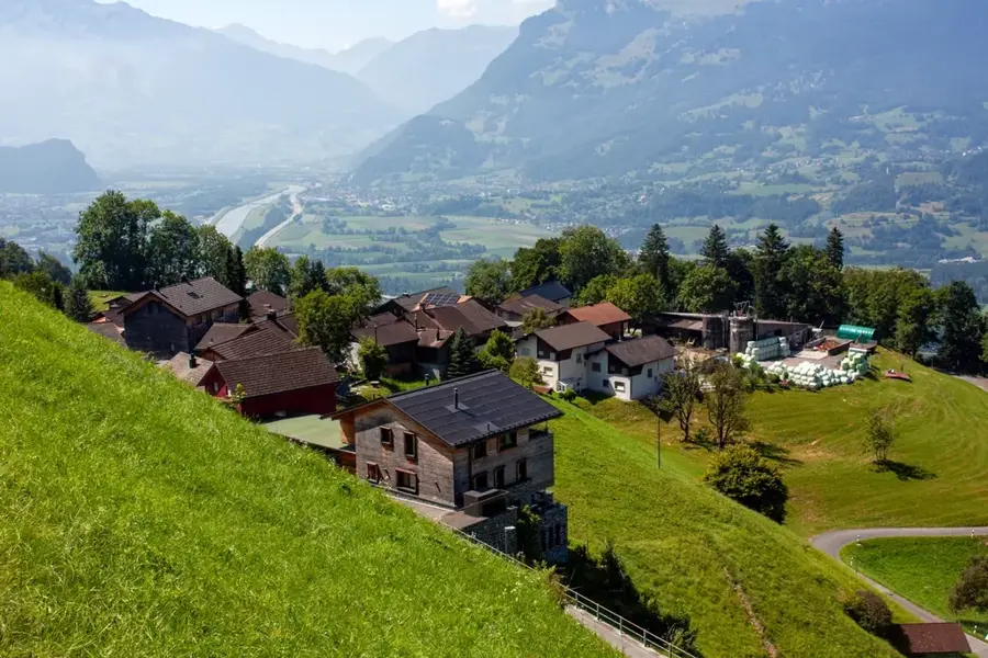
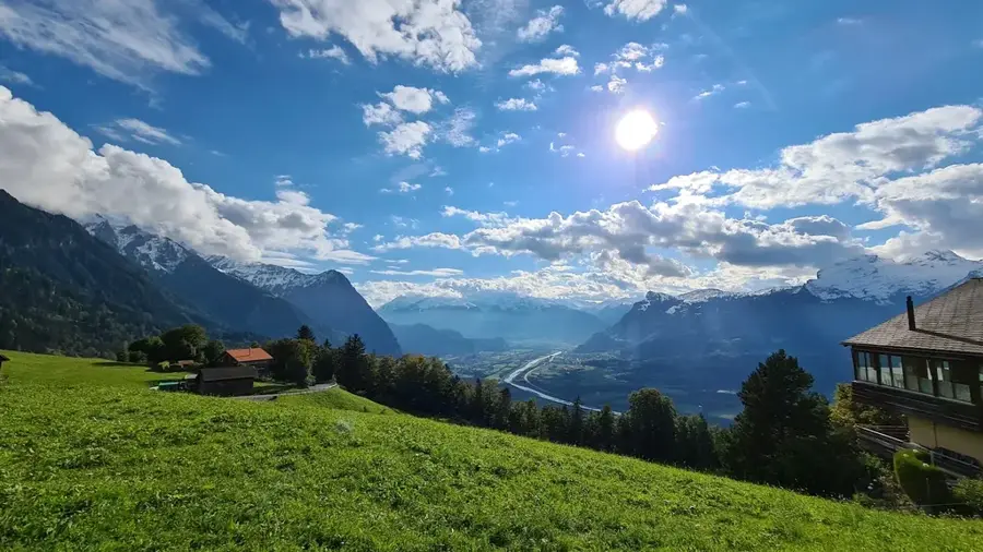
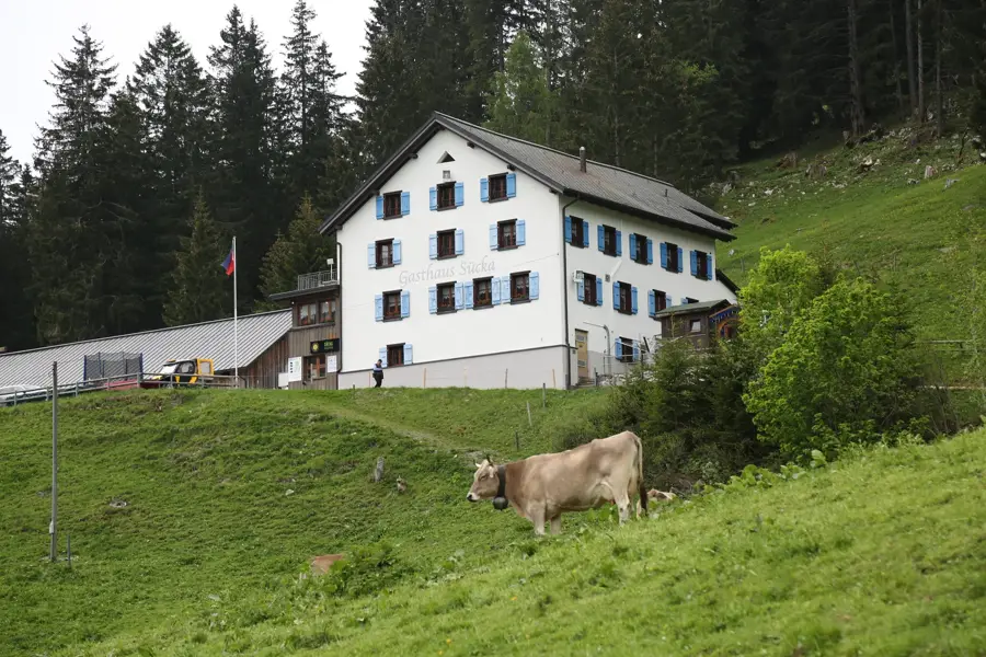
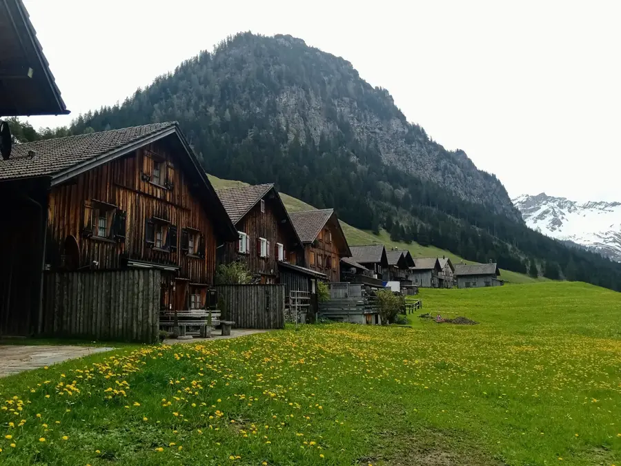
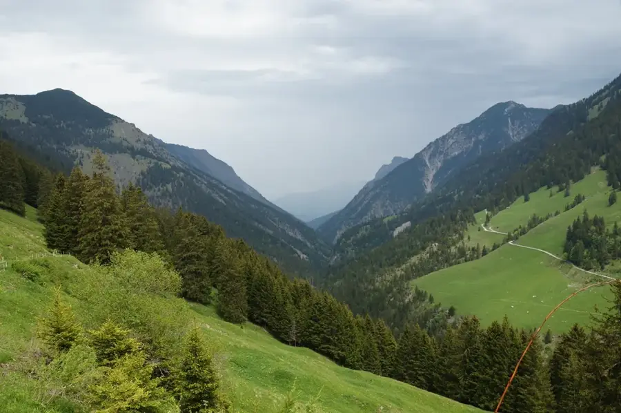
Rotenboden is an exposed district of the municipality of Triesenberg, located on a prominent mountain ridge at an altitude of about 1,000 meters. The name is likely derived from the reddish color of the soil, caused by the region's geological features. Geographically, Rotenboden forms a natural lookout point offering extensive views over the entire Liechtenstein Unterland and the adjacent Rhine Valley. The history of the neighborhood is characterized by the laborious land reclamation by the Walser people, who transformed steep slopes into productive cultural land. The architecture is a mix of historic farmhouses with dark wooden facades and modern family homes benefiting from the high quality of residential life. Rotenboden is connected to the center of Triesenberg village by a well-developed road and serves as a starting point for numerous hikes towards Gaflei or Silum. The sunny location makes the district particularly attractive in winter when fog often remains trapped in the valley below. Culturally, the district is firmly integrated into the customs of the municipality.
- Location: Triesenberg, Liechtenstein
- Top sights: Walsermuseum · Pfarrkirche Sankt Josef · Heimatmuseum
- Nearby: Specki (5 km)
- Population: ~2.643
Best time to visit & climate
The most pleasant time to visit is Jul–Sep.
| Jan | Feb | Mar | Apr | May | Jun | Jul | Aug | Sep | Oct | Nov | Dec | |
|---|---|---|---|---|---|---|---|---|---|---|---|---|
| Avg °C | -6 | -5 | -1 | 4 | 8 | 13 | 14 | 14 | 10 | 6 | 0 | -4 |
| Rain mm | 92 | 70 | 91 | 93 | 147 | 173 | 169 | 185 | 121 | 103 | 91 | 93 |
Geography
Facts
- Located on a prominent mountain flank at approx. 1,000 m.
- Highest inhabited district of the municipality of Triesenberg.
- Known for its sunny location above the fog line.
- Offers extensive views over the Liechtenstein Unterland.
- An important point on the connecting road to Gaflei.
- Characterized by a blend of tradition and modernity.
Explore nearby
Notable places around
Route planner — Car & Motorhome
Where do you start? We build the route here, with stops and country notes along the way.
© OpenStreetMap contributors · OpenRouteService
Sights in the town Rotenboden (10)
Kleintheater Schlösslekeller
Small theater in a vaulted cellar in Triesenberg.
Geografischer Mittelpunkt von Liechtenstein
Marked point, the geographical center of the Principality of Liechtenstein.
Kathedrale St. Florin
Cathedral in Vaduz, seat of the Archdiocese of Vaduz.
Lama- & Alpakahof Triesenberg
Farm in Triesenberg keeping llamas and alpacas.
Sankt Mamerten
Chapel in Triesen, Principality of Liechtenstein.
Two Light Prisms
Two light prisms as a public art installation.
Frequently asked questions
Where exactly is Rotenboden located?
What characterizes the architectural style in Rotenboden?
Can you go hiking from Rotenboden?
What is the parking situation for visitors?
Does Rotenboden offer a good view?
Rotenboden: where is it located?
Rotenboden: what is there to see?
Rotenboden: when is the best time to visit?
Rotenboden: why is it worth visiting?

Nearby cities
History & landmarks