Plizio Visual Lab
Cyrenaica Coast

Weather…
Water temperature…
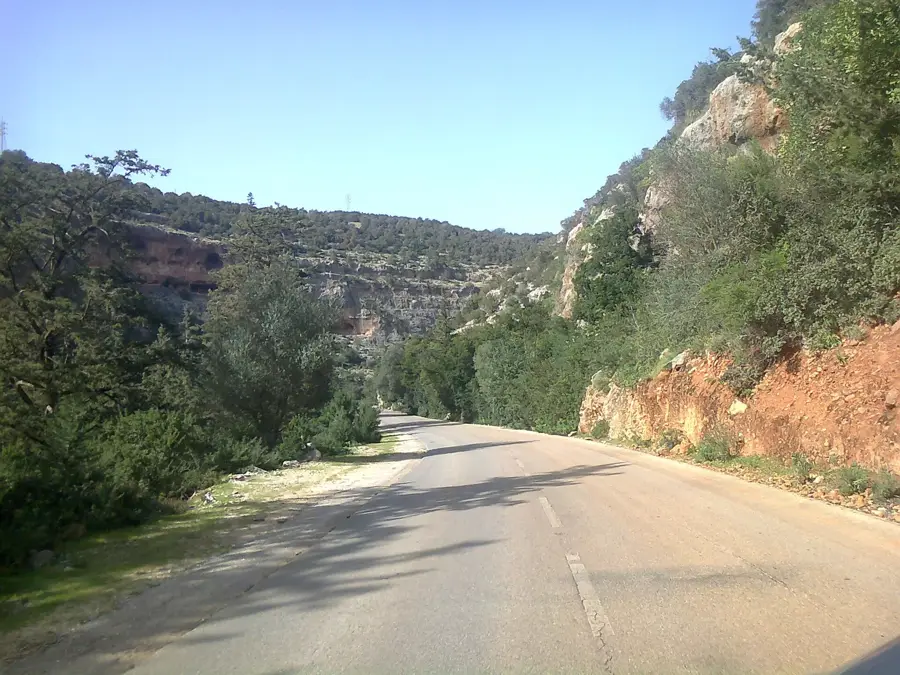
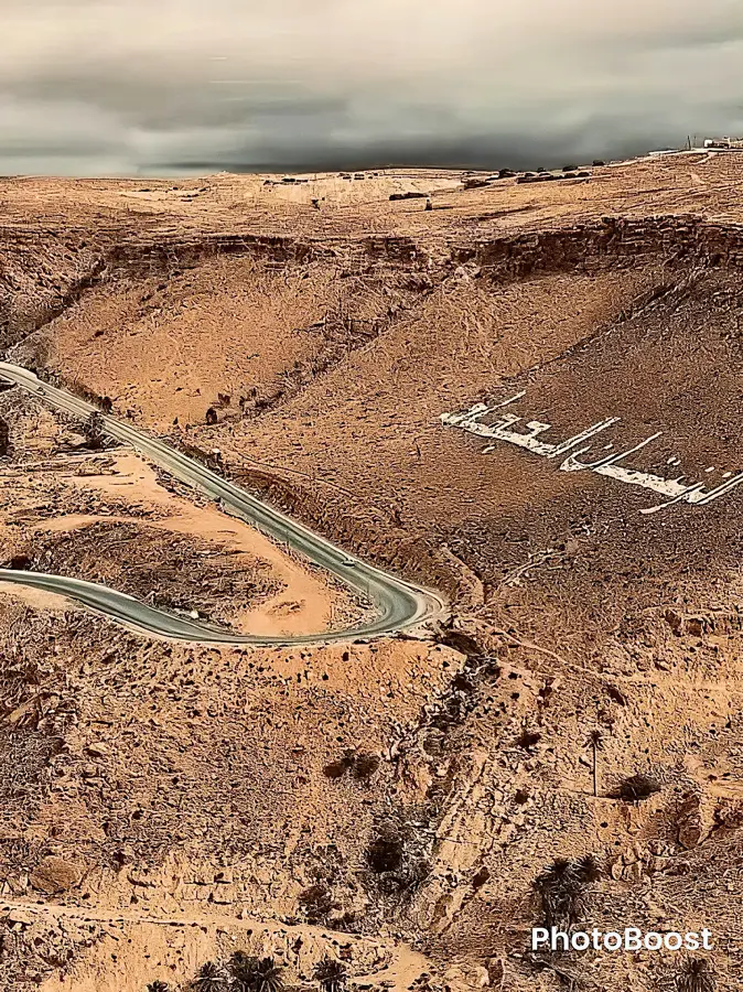
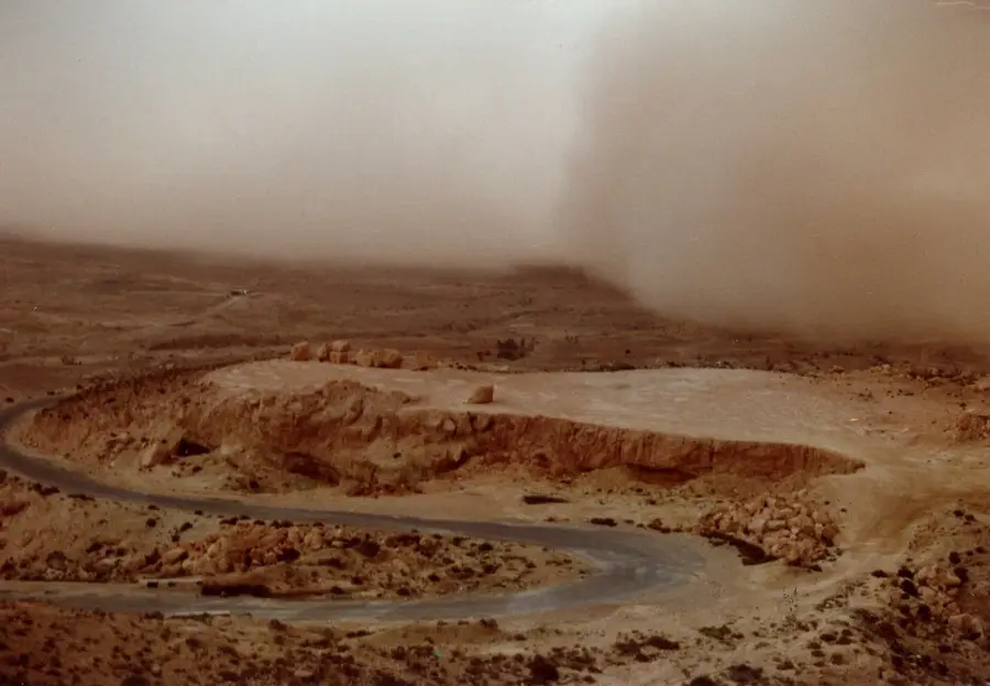
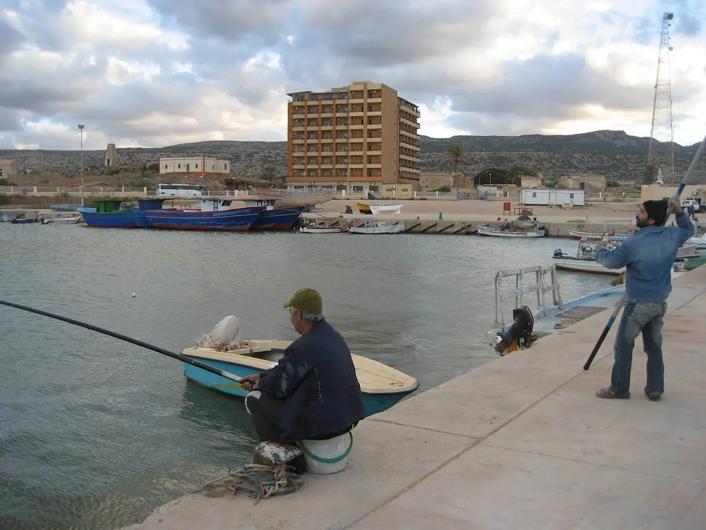
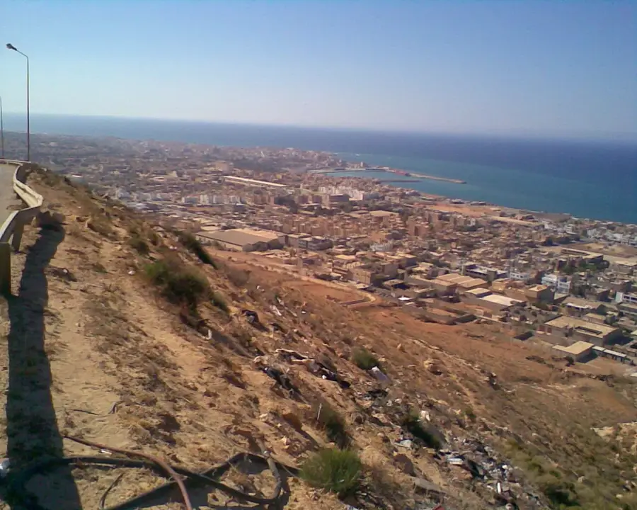
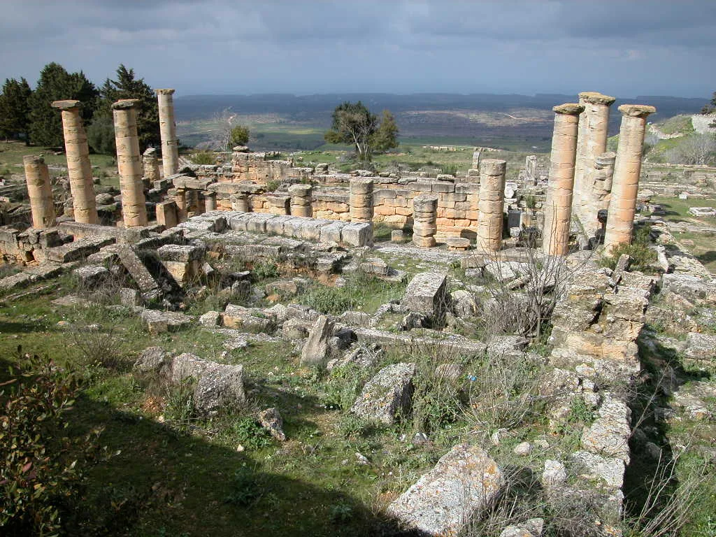
The Cyrenaica Coast in northeastern Libya is one of North Africa's most geologically and ecologically diverse regions. The relief is defined by the Jebel Akhdar massif, a limestone highland that descends toward the Mediterranean Sea in a series of dramatic terraces. This topographic structure traps moisture-laden air, resulting in the highest rainfall levels in the country and enabling the growth of lush Mediterranean flora. The coastline is characterized by rugged cliffs, secluded bays, and the outlets of numerous wadis that drain the highlands during rainy periods. Historically, this relief provided good conditions for the establishment of ancient colonies, including the famous city of Cyrene, built by the Greeks on one of the fertile elevated terraces. The maritime zone features deep coastal waters and coral reefs that serve as vital habitats within the Mediterranean ecosystem. Geomorphologically, the region is marked by karst phenomena, such as extensive caves and sinkholes, formed through the chemical weathering of limestone. Today, the coast remains vital for fishing and tourism, offering a striking landscape that contrasts with the arid desert hinterland.
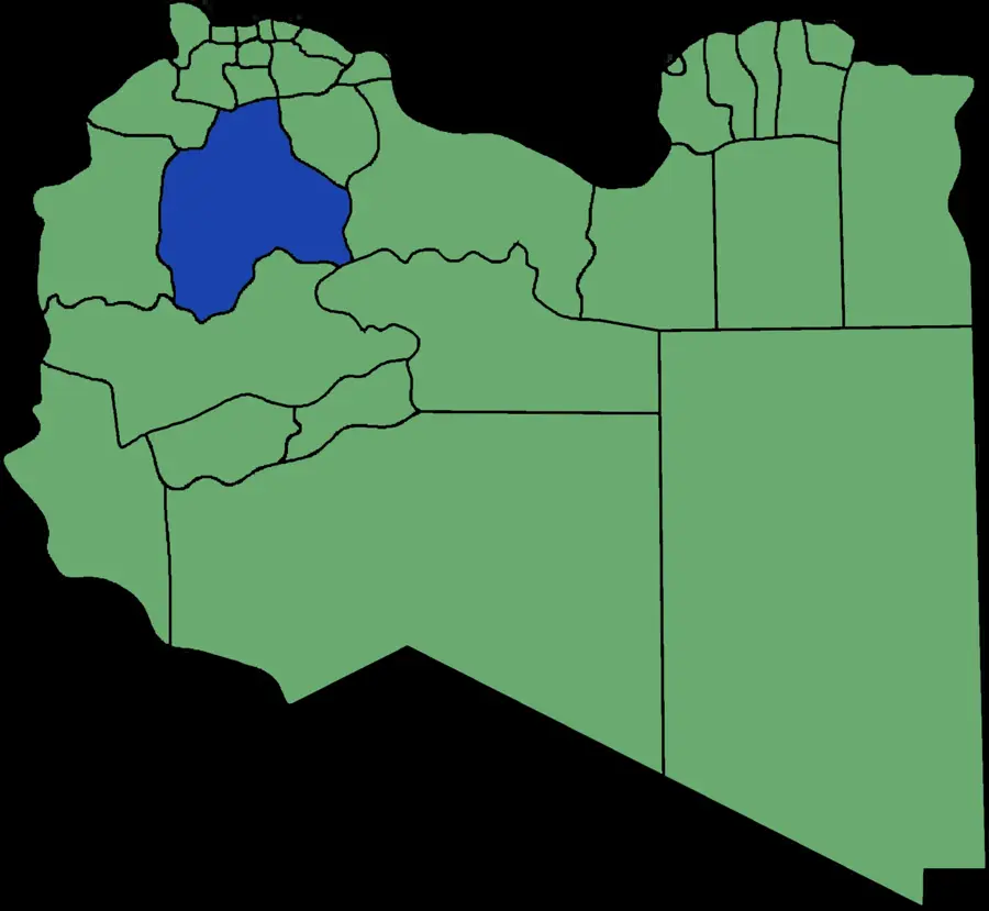
- Location: Libya
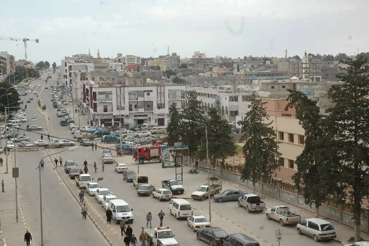
- Nearby: Al Bayda (38 km)
Best time to visit & climate
The most pleasant time to visit is May, Jun, Sep.
| Jan | Feb | Mar | Apr | May | Jun | Jul | Aug | Sep | Oct | Nov | Dec | |
|---|---|---|---|---|---|---|---|---|---|---|---|---|
| Avg °C | 9 | 9 | 12 | 15 | 19 | 23 | 25 | 25 | 23 | 19 | 14 | 10 |
| Rain mm | 60 | 56 | 32 | 12 | 12 | 3 | 0 | 2 | 12 | 42 | 40 | 104 |
📋 Practical info
Geography
Facts
- The Cyrenaica coastline stretches for approximately 500 kilometers along the Mediterranean.
- The Jebel Akhdar highlands rise to 880 meters just inland from the sea.
- The region receives an average annual rainfall between 400 and 600 mm.
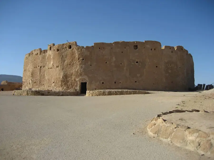
- The ancient city of Cyrene was established as a Greek colony in the 7th century BC.
- The coast is home to the significant ancient port city of Apollonia.
- Karst caves along the coastal cliffs provided shelter for humans as far back as the Stone Age.
Explore nearby
Notable places around
Route planner — Car & Motorhome
Where do you start? We build the route here, with stops and country notes along the way.
© OpenStreetMap contributors · OpenRouteService
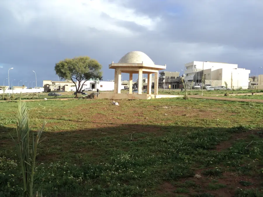
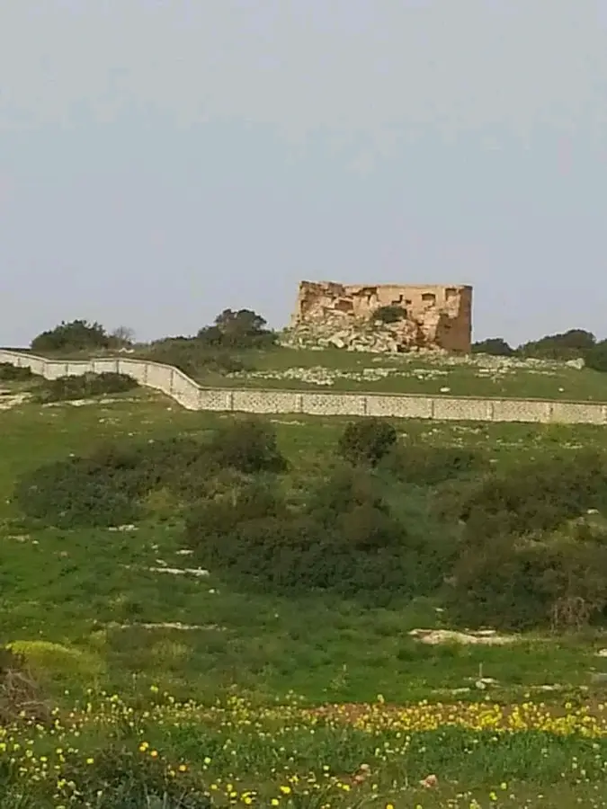
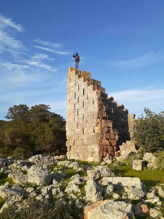
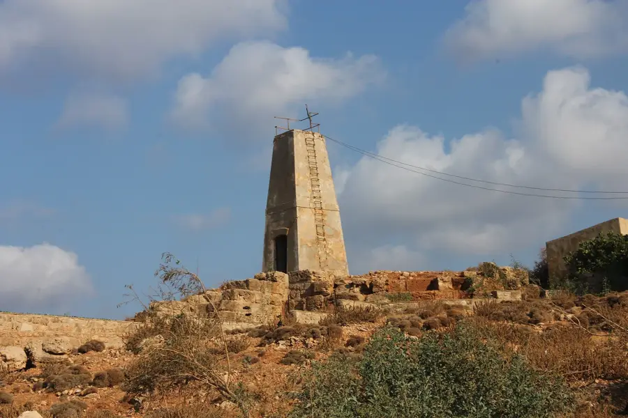
Sights nearby
Frequently asked questions
What ancient sites are located on the coast?
How is the climate on the Cyrenaica coast?
Are there swimming beaches?
Is the region safe for tourists?
What is the best way to travel?
Cyrenaica Coast: where is it located?
Cyrenaica Coast: when is the best time to visit?
Cyrenaica Coast: why is it worth visiting?

Nearby cities


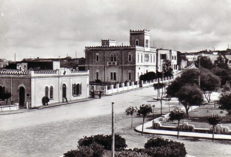
History & landmarks

More places