Plizio Visual Lab
Martuba
ℹ️Practical info — Martuba
▾
🌤 Weather — 5 days
📍 Nearby
Sights nearby
💡 Tips
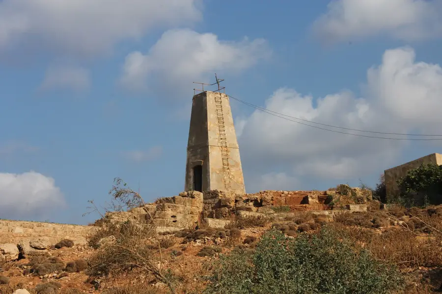
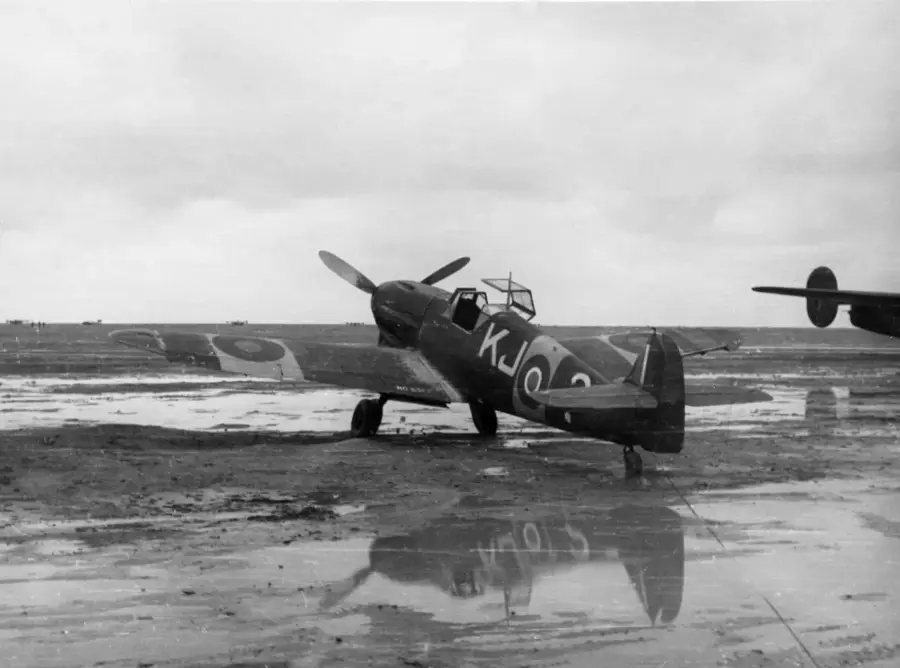
- The history of the World War II airfield is fascinating, but ask locals before exploring off-road areas.
- Pack plenty of water, as the area is quite arid.
- A 4x4 vehicle is useful if you plan to explore the desert surroundings.
- Cell reception can be spotty in the rural outskirts, so download offline maps in advance.
🍽 Food
Snack on sweet local dates, well-suited for quick energy in the dry climate.
Try a strong, traditional tea often prepared over an open fire.
Look for a local diner serving hearty portions of rice and mutton.
🛍 Shopping · 🧘 Quiet spots
Stock up on snacks and water at the small village shops before heading out.
Keep an eye out for simple handmade items occasionally sold by locals.
Experience the vast, quiet expanse of the desert just outside the village.
Find a quiet spot near the historical runway to reflect on the area's past.
Water temperature…
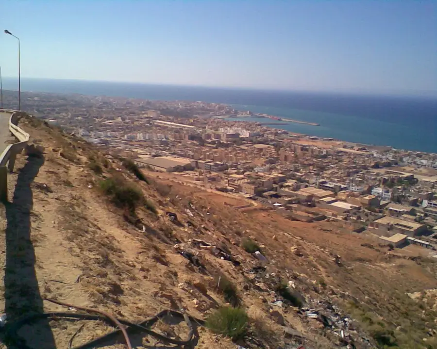
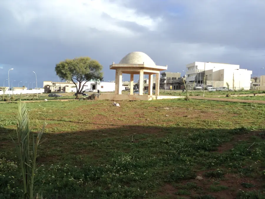
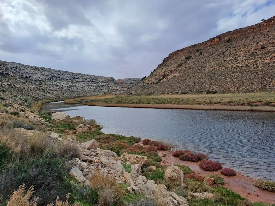
Martuba is a strategically significant locality in northeastern Libya, positioned approximately 27 kilometers southeast of the coastal city of Derna. The area gained international prominence during World War II, when Martuba served as a vital complex of airfields that were heavily contested between Allied forces and the German Afrikakorps during the North African Campaign. Geographically, the settlement sits on an elevated plateau that serves as a transitional zone between the fertile Mediterranean coast and the arid Marmarica desert to the south. In the modern era, Martuba has developed into an agricultural center where large-scale irrigation projects facilitate the farming of grains and extensive livestock management in an otherwise dry environment. Its proximity to Derna ensures its role as a key logistical node for trade moving toward the Egyptian border. The region is also noted for its rugged natural beauty and the vast, open horizons characteristic of the Libyan steppe.
- Location: Libya
- Nearby: Derna (23 km)
- Population: ~9.357 (2023)
Best time to visit & climate
The most pleasant time to visit is May, Jun, Oct.
| Jan | Feb | Mar | Apr | May | Jun | Jul | Aug | Sep | Oct | Nov | Dec | |
|---|---|---|---|---|---|---|---|---|---|---|---|---|
| Avg °C | 11 | 11 | 14 | 17 | 21 | 24 | 26 | 26 | 25 | 21 | 16 | 12 |
| Rain mm | 49 | 41 | 21 | 10 | 10 | 4 | 0 | 5 | 11 | 33 | 33 | 77 |
Geography
Facts
- Martuba is located roughly 27 kilometers southeast of the city of Derna.
- The area hosted five separate airfields during the World War II campaigns.
- It is situated on a high plateau in the northeastern Cyrenaica region.
- Irrigated agriculture is the primary driver of the local economy today.
- The airfields were a key objective during the 1942 battles for North Africa.
- It sits along the main highway connecting Derna and Tobruk.
Explore nearby
Notable places around
Route planner — Car & Motorhome
Where do you start? We build the route here, with stops and country notes along the way.
© OpenStreetMap contributors · OpenRouteService
Frequently asked questions
Where is Martuba located?
What is the geographical specialty?
Is there an airport there?
What is the vegetation like?
What can you visit nearby?
Martuba: where is it located?
Martuba: when is the best time to visit?
Martuba: why is it worth visiting?

Nearby cities