Plizio Visual Lab
Bloh Creek

Weather…
Water temperature…
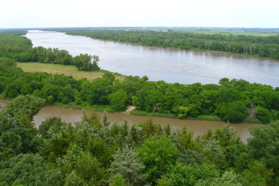
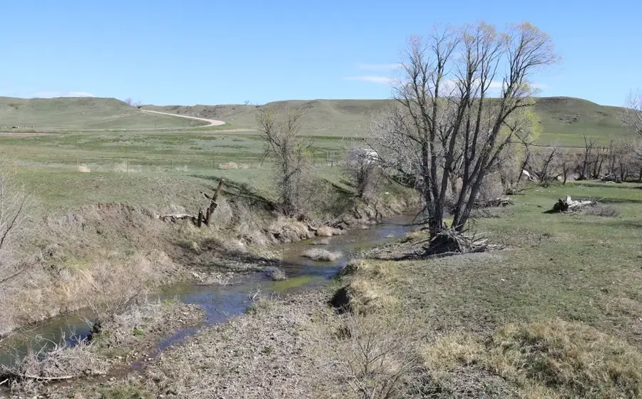
Bloh Creek is a typical small waterway winding through the central hinterlands of Liberia. Originating in the hilly forested interior, it meanders through dense tropical rainforest before joining larger river networks. The creek plays an essential role in the local ecosystem, providing a consistent water source for wildlife and supporting the region's high humidity levels. Its banks are characterized by towering mahogany trees and lush ferns that often create a closed canopy over the water. Due to seasonal rainfall patterns, the creek's water levels fluctuate, periodically nourishing the surrounding wetlands with organic nutrients. Bloh Creek represents the pristine and largely untouched aquatic habitats found deep within the Liberian jungle canopy.
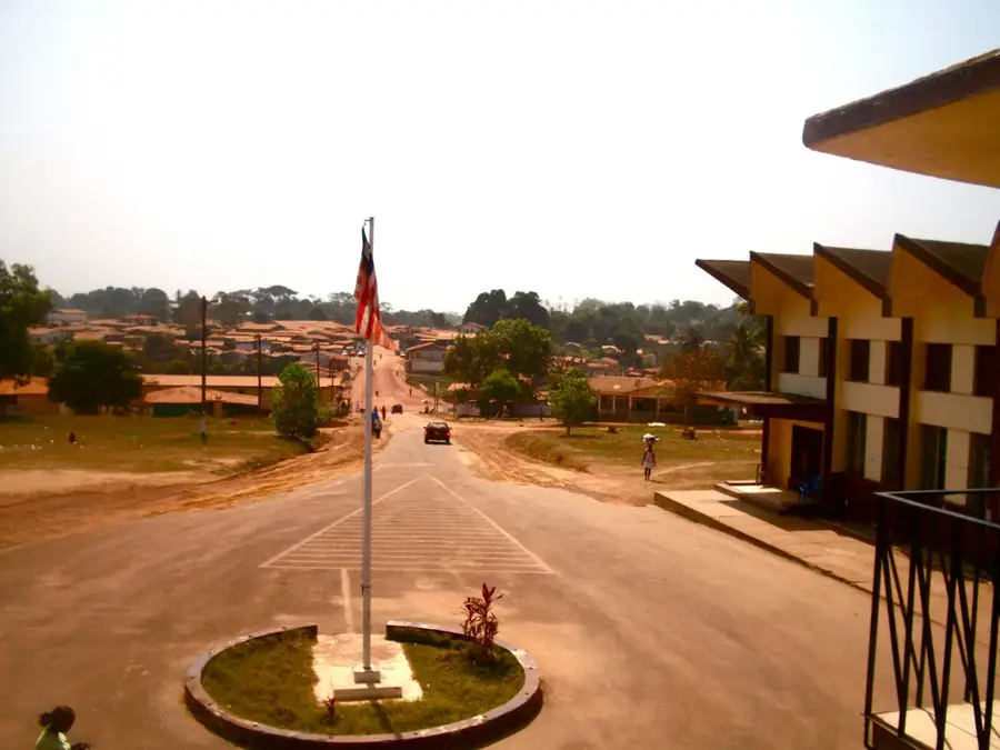
- Location: Liberia
- Nearby: Cain (12 km)
Best time to visit & climate
The most pleasant time to visit is Jan, Feb, Dec.
| Jan | Feb | Mar | Apr | May | Jun | Jul | Aug | Sep | Oct | Nov | Dec | |
|---|---|---|---|---|---|---|---|---|---|---|---|---|
| Avg °C | 26 | 27 | 27 | 27 | 27 | 25 | 24 | 24 | 25 | 25 | 26 | 26 |
| Rain mm | 19 | 44 | 80 | 104 | 158 | 267 | 234 | 337 | 269 | 232 | 111 | 47 |
📋 Practical info
Geography
Facts
- Length: 30 km
- Basin area: 150 km²
- Fish species: 15
- Water temperature: 22°C
- Maximum width: 5 m
- Annual rainfall: 2,800 mm
Explore nearby
Notable places around
Route planner — Car & Motorhome
Where do you start? We build the route here, with stops and country notes along the way.
© OpenStreetMap contributors · OpenRouteService
Sights nearby
Frequently asked questions
Is Bloh Creek a large river?
Can you go birdwatching there?
Is access public?
Are there insect risks?
Is the water suitable for drinking?
Bloh Creek: where is it located?
Bloh Creek: when is the best time to visit?
Bloh Creek: why is it worth visiting?

Nearby cities


History & landmarks
Nature
More places