Plizio Visual Lab
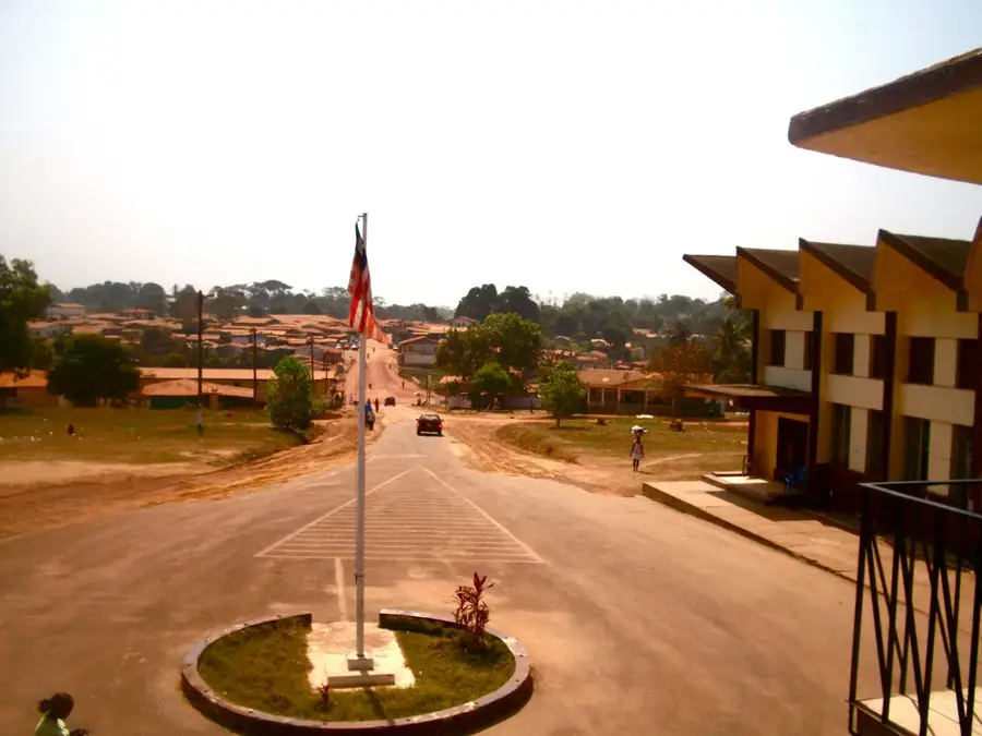
Kpo Mountains
Weather…
Water temperature…
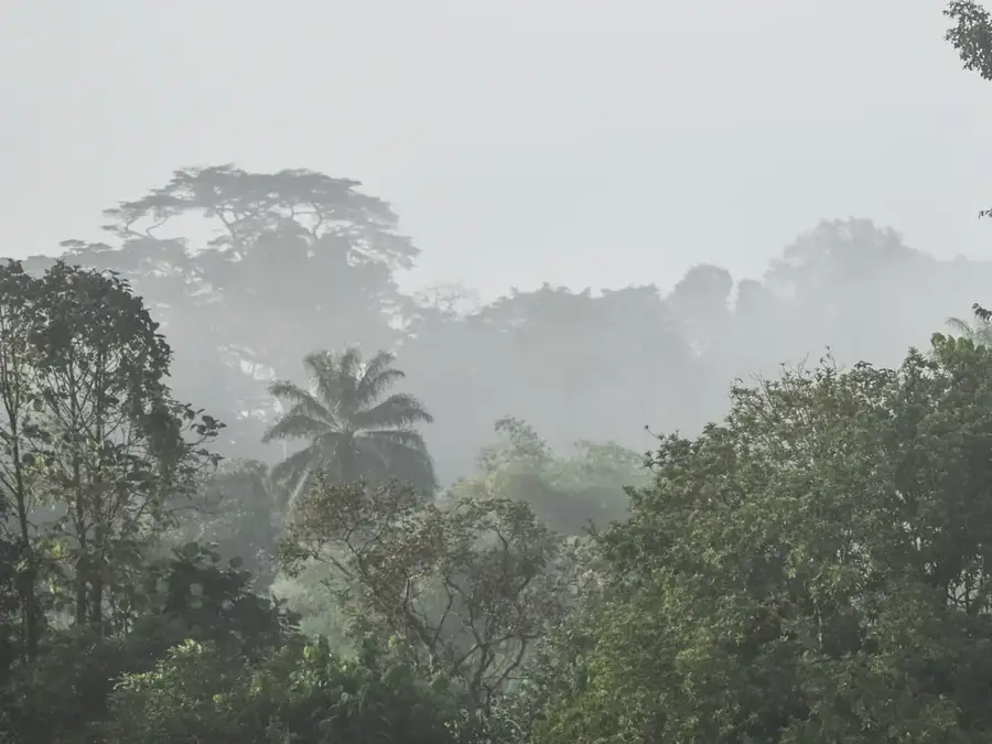
The Kpo Mountains in central Liberia form a mid-elevation ridge within the Upper Guinean rainforest, with peaks reaching 1,200 m. They are characterized by dense primary forest harboring forest elephants and multiple primate species. Orographic precipitation yields annual rainfall exceeding 4,000 mm on windward slopes. The range acts as a catchment area for headwaters of the St. John River. Soils are highly leached and nutrient-poor, restricting agriculture to shifting cultivation on lower slopes. The mountains serve as a refugium for endemic plant taxa, including the Liberian rubber vine (Landolphia owariensis). Conservation efforts focus on habitat connectivity with adjacent protected areas.
- Location: Liberia
- Nearby: Damballah (12 km)
Best time to visit & climate
The most pleasant time to visit is Jan, Feb, Dec.
| Jan | Feb | Mar | Apr | May | Jun | Jul | Aug | Sep | Oct | Nov | Dec | |
|---|---|---|---|---|---|---|---|---|---|---|---|---|
| Avg °C | 26 | 27 | 27 | 27 | 27 | 26 | 25 | 24 | 25 | 26 | 26 | 26 |
| Rain mm | 10 | 23 | 46 | 65 | 114 | 251 | 344 | 510 | 319 | 234 | 77 | 32 |
📋 Practical info
Geography
Facts
- Maximum elevation: 1,200 m.
- Annual rainfall: up to 4,000 mm.
- Temperature range: 24–27 °C.
- Flora: over 200 tree species documented.
- Fauna: forest elephant population of about 50 individuals.
- Distance from capital Monrovia: approximately 150 km.
Explore nearby
Notable places around
Route planner — Car & Motorhome
Where do you start? We build the route here, with stops and country notes along the way.
© OpenStreetMap contributors · OpenRouteService
Sights nearby
Frequently asked questions
Where are the Kpo Mountains located?
Are the Kpo Mountains developed for tourists?
What is the primary vegetation?
Are there mining activities there?
Can rare animals be seen there?
Kpo Mountains: where is it located?
Kpo Mountains: when is the best time to visit?
Kpo Mountains: why is it worth visiting?

Nearby cities


Nature
More places