Plizio Visual Lab
Gbarpolu River

Weather…
Water temperature…
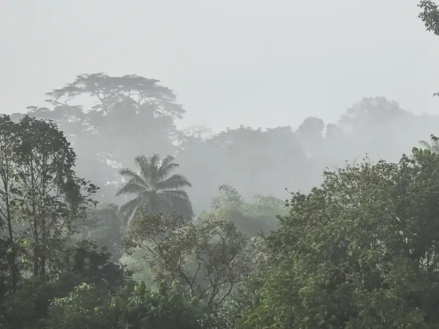
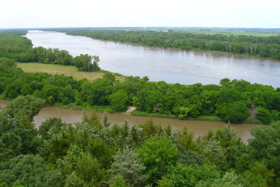
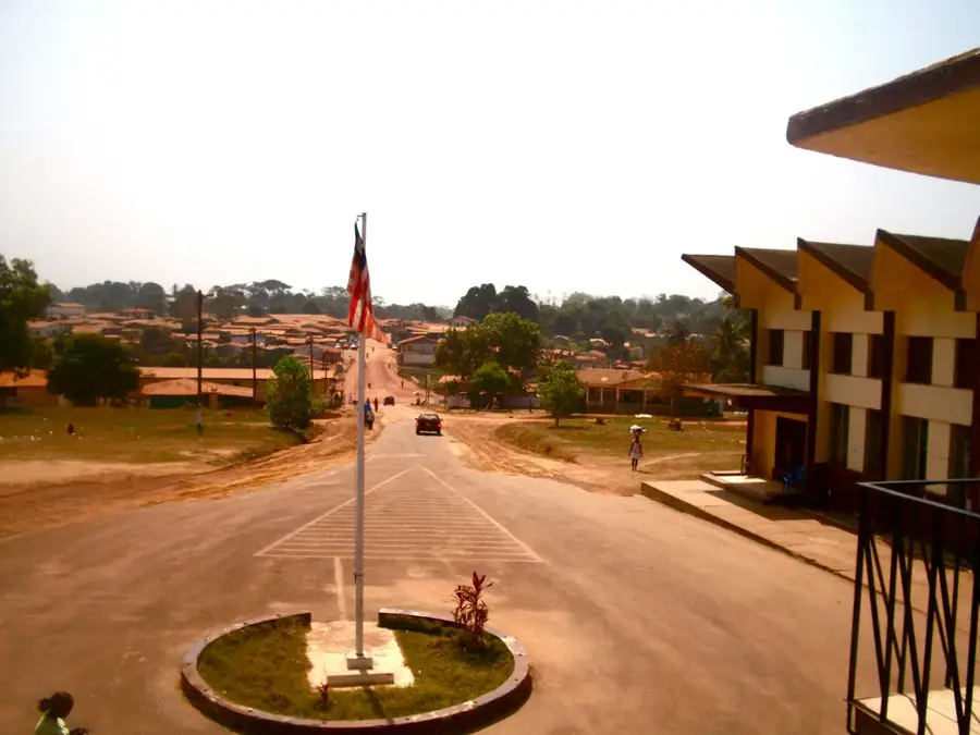
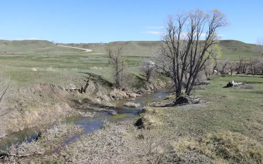
The Gbarpolu River flows through the heart of Gbarpolu County in northwestern Liberia, a region distinguished by its vast and pristine tropical rainforests. This river is an integral part of the local hydrological network that sustains the Gola Forest ecosystem, providing a constant water source for a wide array of wildlife. For the remote communities living in this part of Liberia, the river serves as a vital lifeline, offering a primary means of transportation, fishing, and water for daily needs. The surrounding habitat is a biodiversity hotspot, home to endangered species such as the pygmy hippopotamus, various chimpanzee populations, and rare forest elephants. Exploring the Gbarpolu River has a unique opportunity to witness West Africa's wild nature in its most untouched form, characterized by dense canopies and winding waterways. Protecting the river's purity is essential for the long-term survival of the region's unique flora and fauna, making it a key focus for environmental conservation efforts in Liberia.
- Location: Liberia
- Nearby: Bopolu (24 km)
Best time to visit & climate
The most pleasant time to visit is Jan, Feb, Dec.
| Jan | Feb | Mar | Apr | May | Jun | Jul | Aug | Sep | Oct | Nov | Dec | |
|---|---|---|---|---|---|---|---|---|---|---|---|---|
| Avg °C | 26 | 27 | 27 | 27 | 27 | 26 | 25 | 24 | 25 | 26 | 26 | 26 |
| Rain mm | 10 | 23 | 46 | 65 | 114 | 251 | 344 | 510 | 319 | 234 | 77 | 32 |
📋 Practical info
Geography
Facts
- The Gbarpolu River is 120 km long.
- Its drainage basin covers 2,500 km².
- The river originates at 500 m elevation.
- Average width is 30 m.
- Maximum recorded discharge is 400 m³/s.
- No major dams exist on the river.
Explore nearby
Notable places around
Route planner — Car & Motorhome
Where do you start? We build the route here, with stops and country notes along the way.
© OpenStreetMap contributors · OpenRouteService
Sights nearby
Frequently asked questions
Where is the Gbarpolu River located?
Is there gold panning in the river?
How is the access to the river for travelers?
Are there settlements directly on the Gbarpolu River?
Is the river navigable?
Gbarpolu River: where is it located?
Gbarpolu River: when is the best time to visit?
Gbarpolu River: why is it worth visiting?

Nearby cities


Nature
More places