Plizio Visual Lab
Teyateyaneng
ℹ️Practical info — Teyateyaneng
▾
🌤 Weather — 5 days
📍 Nearby
Sights nearby
💡 Tips
- Often referred to simply as 'TY', use this abbreviation when asking locals for directions.
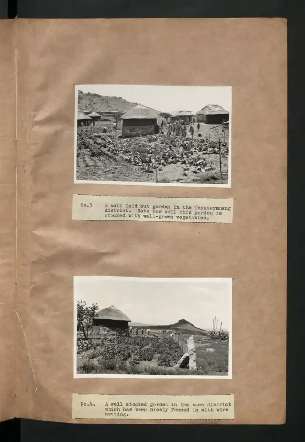
- The town is famous for tapestries; visit the weaving workshops on weekdays.
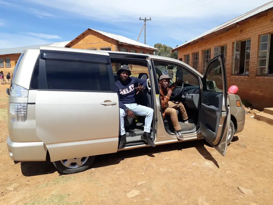
- Public minibuses from Maseru stop at the main taxi rank, which gets busy in the afternoons.
- Bring cash, as many small artisan shops do not accept credit cards.
🍽 Food
Try the staple diet of Lesotho, typically served with greens or stew in local cafes.
You can find excellent street-side barbecue near the taxi ranks.
Look for this traditional steamed bread at small bakeries in the center.
🛍 Shopping · 🧘 Quiet spots
Visit local artisan cooperatives to buy directly from the weavers.
Handmade clay pots with traditional Basotho designs are available at craft centers.
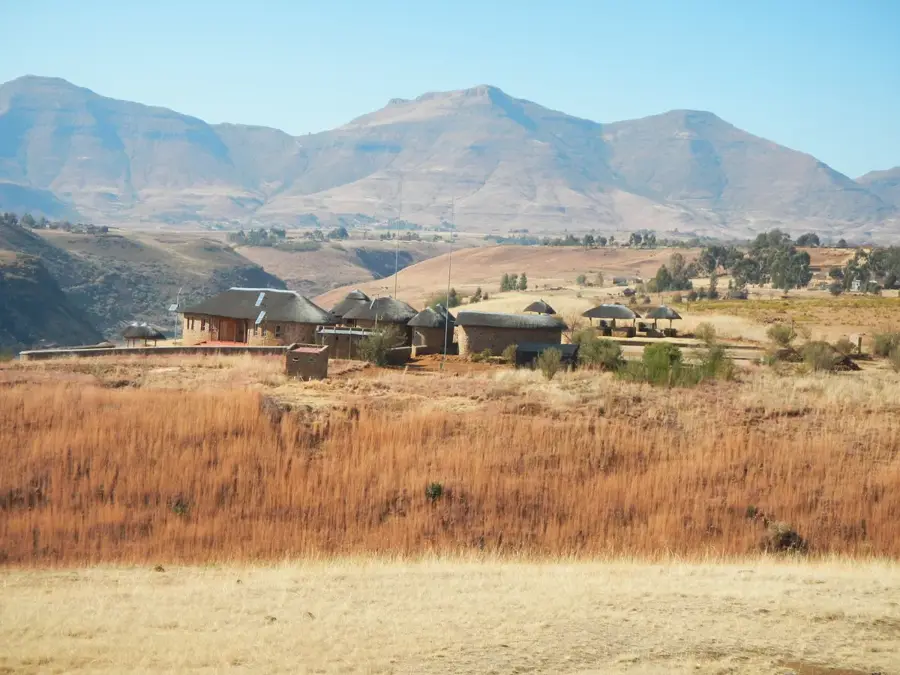
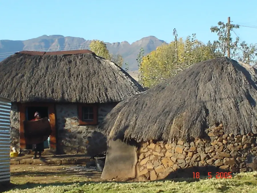
A short walk from the center reveals quiet villages and sweeping valley views.
The weaving centers are generally peaceful and offer a relaxed environment to observe the craft.
Water temperature…
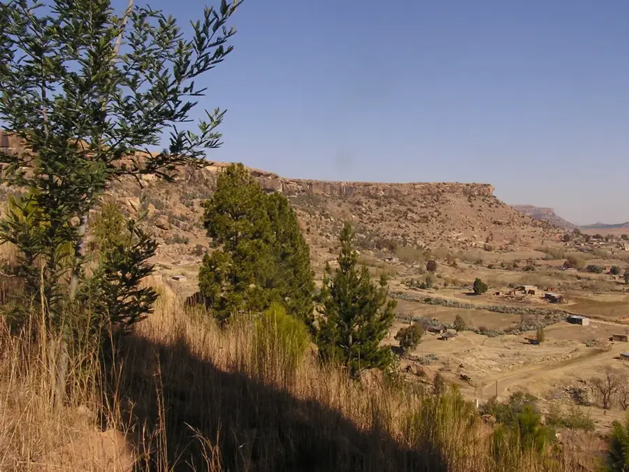
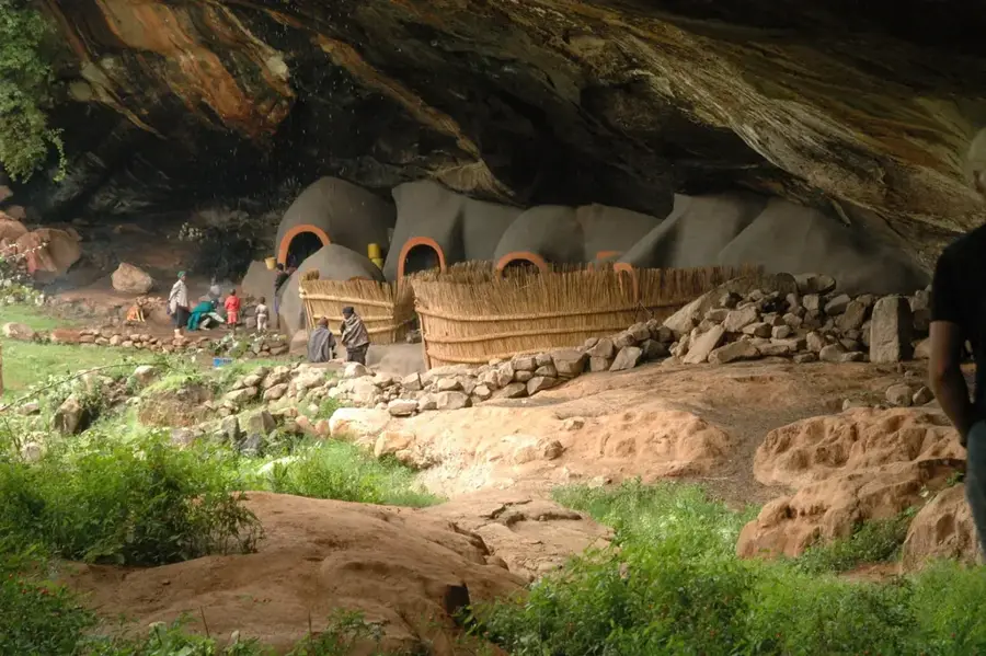
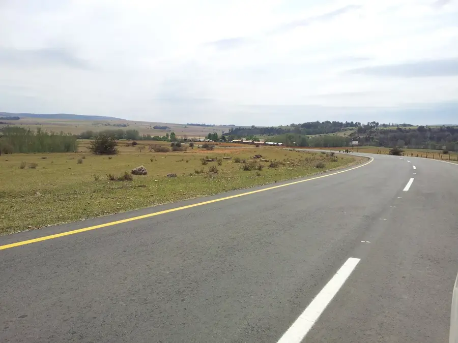
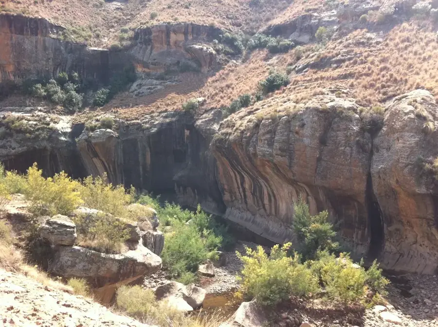
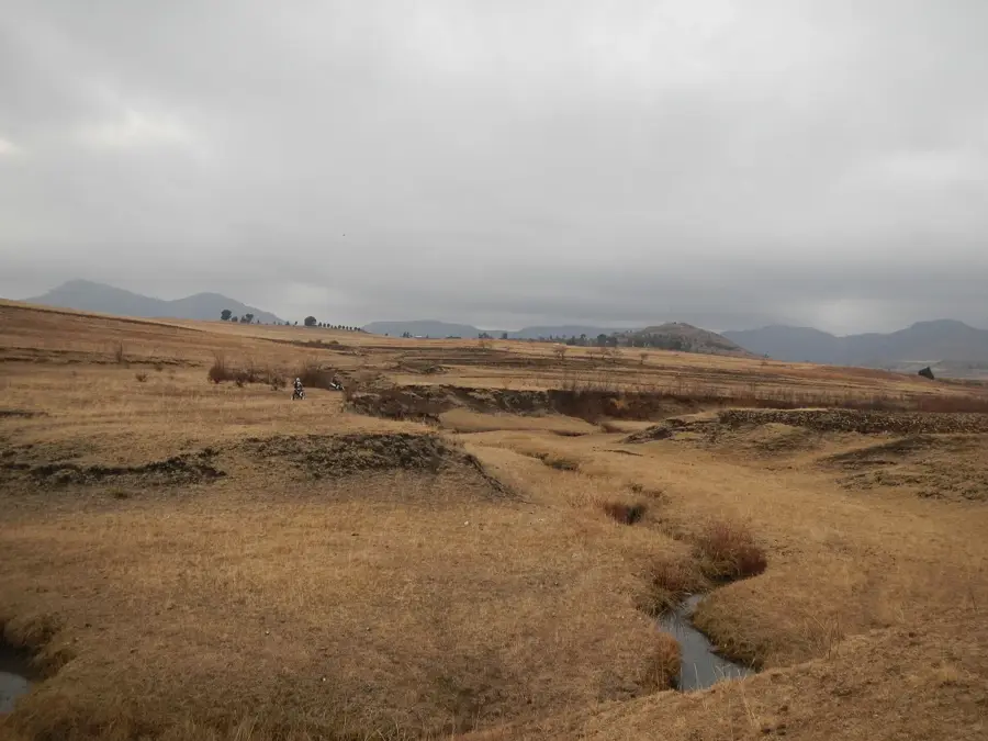
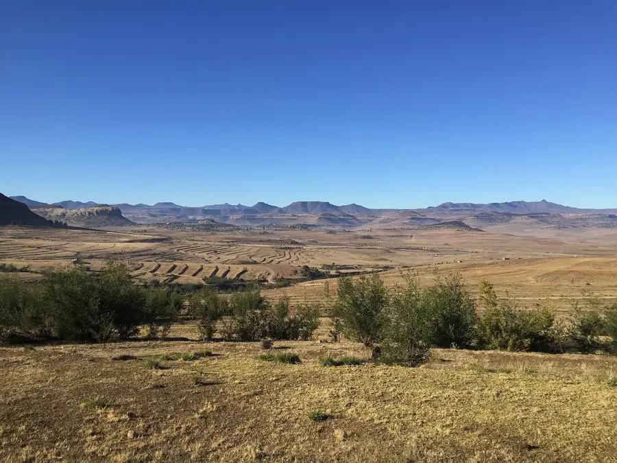
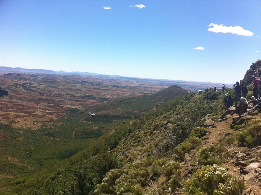
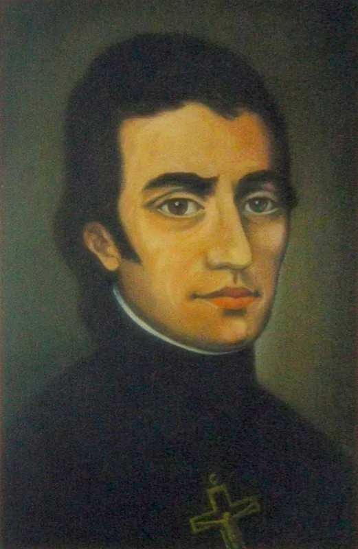
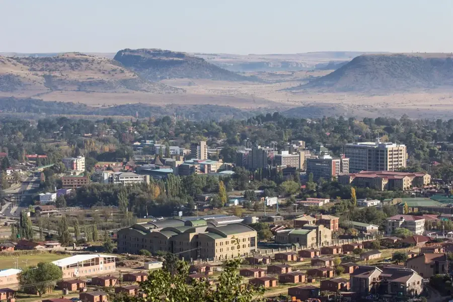
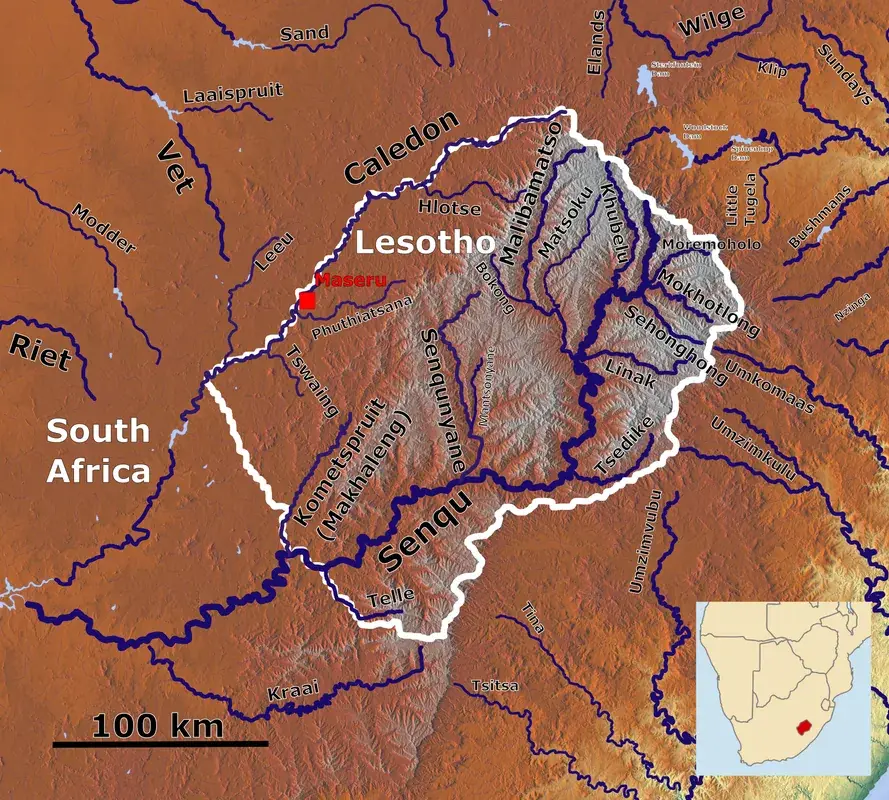
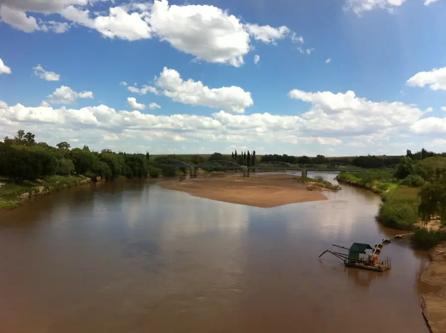
Teyateyaneng, commonly known by its initials 'TY', is the capital of the Berea District in Lesotho, located approximately 40 kilometers northeast of Maseru. The town was founded in 1886 by Chief Masupha, a prominent son of King Moshoeshoe I, atop a strategic plateau. Its name is derived from the Sesotho words for 'place of quick sands', alluding to the shifting riverbeds in the vicinity. Teyateyaneng is celebrated as the cultural and craft heart of Lesotho, famous for its mohair weaving studios and traditional tapestry production. Situated at an elevation of about 1,700 meters, it acts as a principal market town for the surrounding agricultural plains. The town hosts several historic missions and educational institutions that date back to the late 19th century. Its layout features a blend of traditional residential clusters and expanding commercial areas along the main northern highway. For travelers, it serves as a gateway to exploring ancient San rock art sites hidden in the nearby sandstone cliffs.
- Location: Lesotho
- Nearby: Ha Kome (16 km)
- Population: ~27.272 (2026)
Best time to visit & climate
The most pleasant time to visit is Jan–Mar.
| Jan | Feb | Mar | Apr | May | Jun | Jul | Aug | Sep | Oct | Nov | Dec | |
|---|---|---|---|---|---|---|---|---|---|---|---|---|
| Avg °C | 20 | 19 | 17 | 13 | 10 | 7 | 7 | 9 | 13 | 16 | 17 | 19 |
| Rain mm | 115 | 94 | 80 | 54 | 17 | 18 | 8 | 21 | 22 | 65 | 95 | 112 |
Geography
Facts
- Teyateyaneng was founded in 1886 by Chief Masupha.
- The town is the primary center for Lesotho's mohair weaving industry.
- It is located about 40 km northeast of the capital, Maseru.
- The town's elevation is approximately 1,700 meters above sea level.
- The name TY refers to the shifting sands of the nearby rivers.
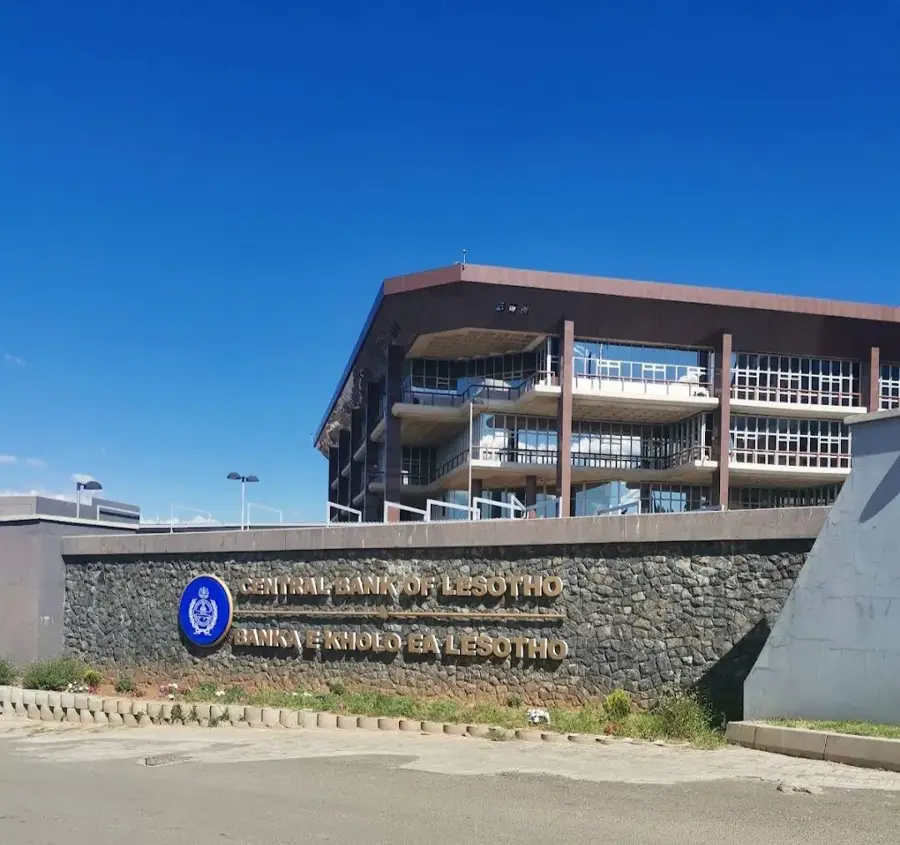
- It serves as the administrative capital of the Berea District.
Explore nearby
Notable places around
Route planner — Car & Motorhome
Where do you start? We build the route here, with stops and country notes along the way.
© OpenStreetMap contributors · OpenRouteService
Sights in the town Teyateyaneng (1)
Frequently asked questions
What is Teyateyaneng known for?
How long should one stay there?
Is there a possibility to buy souvenirs?
How do you get there?
Is the place safe?
Teyateyaneng: where is it located?
Teyateyaneng: when is the best time to visit?
Teyateyaneng: why is it worth visiting?

Nearby cities
History & landmarks
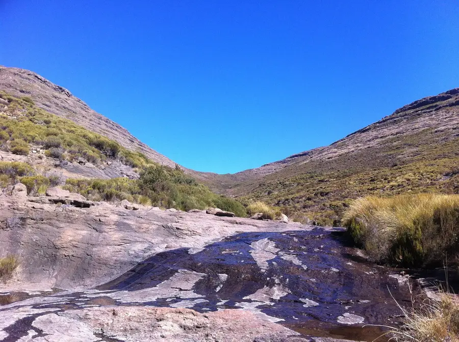
Nature
More places