Plizio Visual Lab
Ugāle Hill
Weather…
Water temperature…
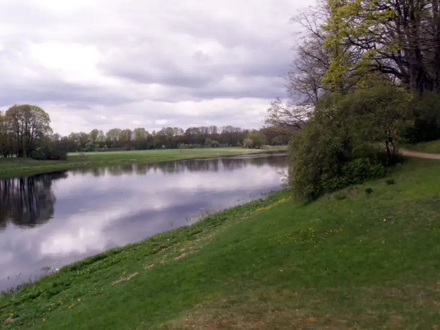
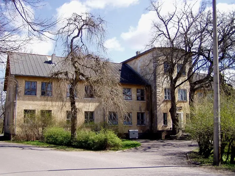
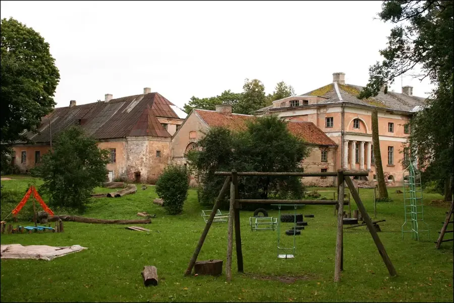
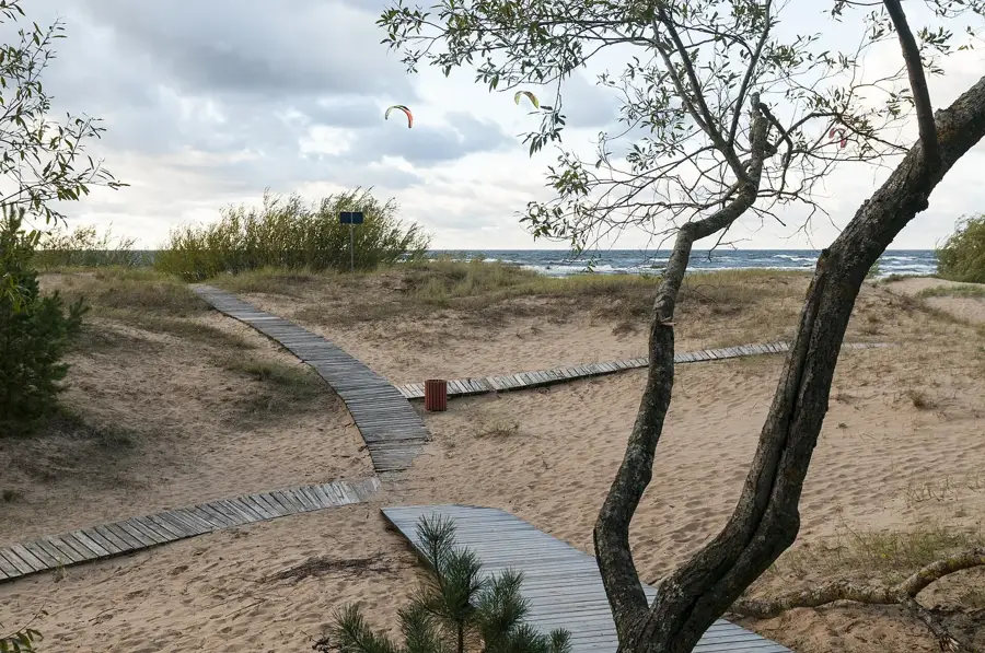
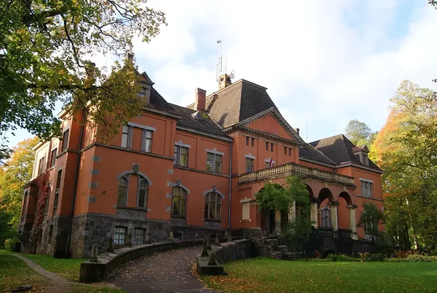
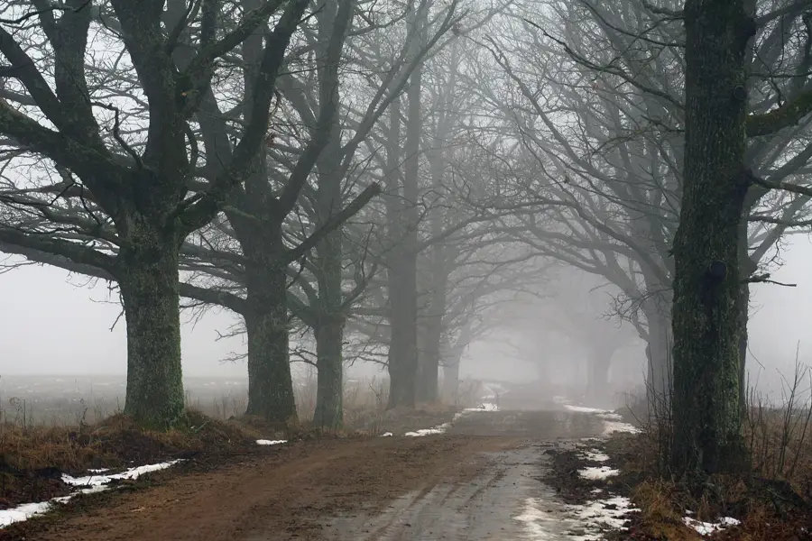
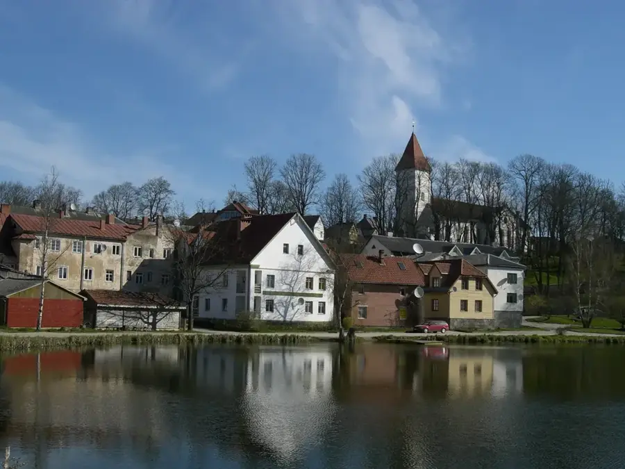
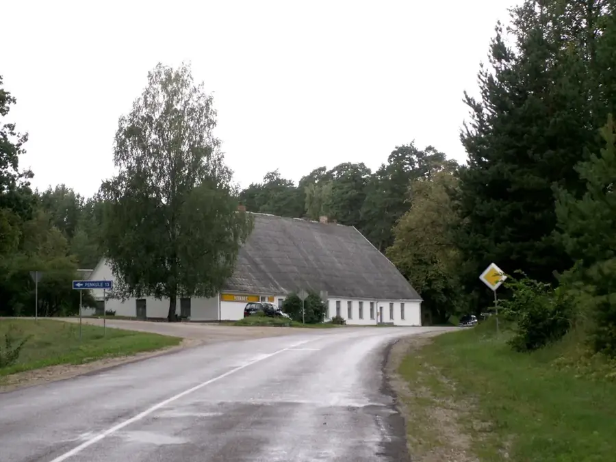
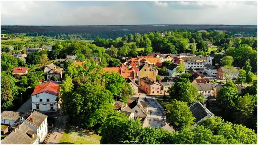
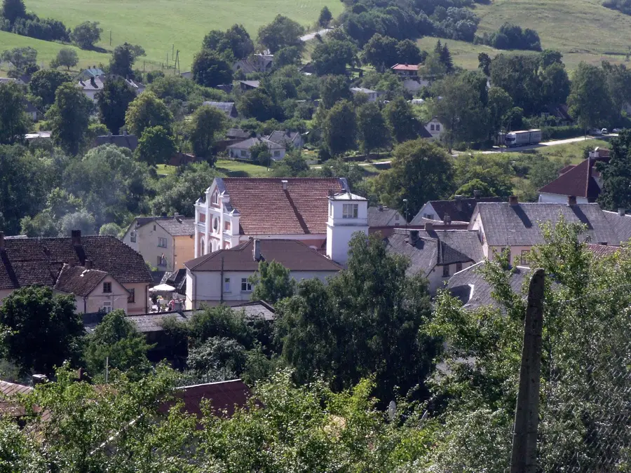
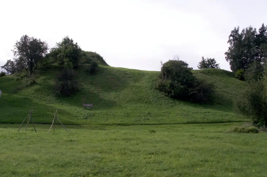
The Ugāle Hill area, known in Latvian as Ugāles pauguraine, is located in the northern part of Courland and forms an essential sub-unit of the North Courland Highland. These hills occupy a significant position between the large Usma Lake and the coastal lowlands. Reaching heights of up to 50-65 meters above sea level, the hills are geologically defined by glacial deposits such as sand and gravel left behind during the retreat of the Baltic ice sheet. The landscape is surrounded by extensive pine forests and bogs, making Ugāle one of the most forested areas in Latvia. The Užava River originates in this region, and its tributaries shape the hydrological structure of the hilly terrain. Historically, Ugāle was a major center of the Courland economy, particularly famous for its organ-building tradition and its strategic location on trade routes between Ventspils and Riga. The soil is predominantly sandy, leading to a specific type of vegetation handy for blueberries and mushrooms. Today, the Ugāle Hill area is a center for the Latvian forestry industry and a popular destination for nature lovers seeking the tranquility of the vast Courland forests.
- Location: Latvia
- Nearby: Zūras (5 km)
Best time to visit & climate
The most pleasant time to visit is Jul–Sep.
| Jan | Feb | Mar | Apr | May | Jun | Jul | Aug | Sep | Oct | Nov | Dec | |
|---|---|---|---|---|---|---|---|---|---|---|---|---|
| Avg °C | 1 | 0 | 1 | 4 | 9 | 14 | 18 | 18 | 15 | 10 | 6 | 3 |
| Rain mm | 60 | 44 | 38 | 33 | 33 | 51 | 64 | 72 | 56 | 72 | 75 | 70 |
📋 Practical info
Geography
Facts
- The Ugāle Hill area reaches its peak elevation at 65 meters.
- It is located in the transitional zone between the highland and the coast.
- Ugāle is home to the oldest pipe organ in Latvia, dating back to 1701.
- The area contains some of the highest-quality timber resources in the Baltics.
- The Užava River basin begins in the marshy valleys between these hills.
- Glacial meltwater deposited the thick sand layers that define the relief.
Explore nearby
Notable places around
Route planner — Car & Motorhome
Where do you start? We build the route here, with stops and country notes along the way.
© OpenStreetMap contributors · OpenRouteService
Sights nearby
Frequently asked questions
What is Ugāle Hill?
Are there historical churches there?
What leisure activities are available on the hill?
Can you find blueberries there?
How steep are the slopes?
Ugāle Hill: where is it located?
Ugāle Hill: when is the best time to visit?
Ugāle Hill: why is it worth visiting?

Nearby cities