Plizio Visual Lab
Daugava River Mouth
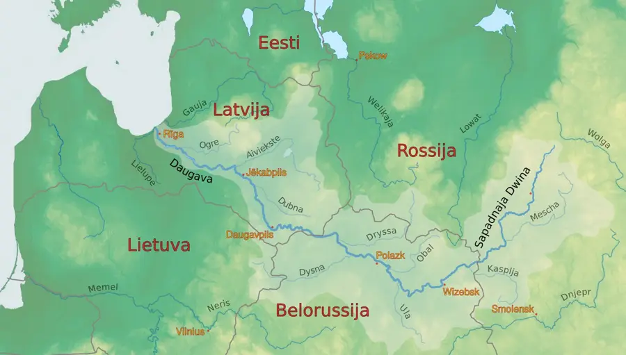
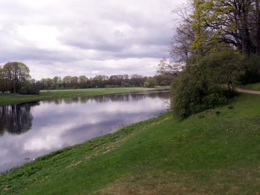
The Daugava river mouth near Riga is a geographically and ecologically sensitive area where Latvia's longest river enters the Baltic Sea. The delta includes extensive reed beds, sandbanks, and the historical Mangaļsala mole, constructed between 1850 and 1861. This region serves as a critical corridor for migratory fish species such as salmon and sea trout, which move upstream to spawn. Botanically, the delta is known for its halophilic plant communities adapted to fluctuating salinity levels. Historically, the mouth was the strategic gateway to the Port of Riga and was secured by fortifications like the Daugavgrīva Fortress. Today, the area is a popular destination for ornithologists as it lies on the Baltic flyway for millions of migratory birds. Monitoring sediment dynamics is of central importance for shipping and coastal protection.
- Location: Latvia
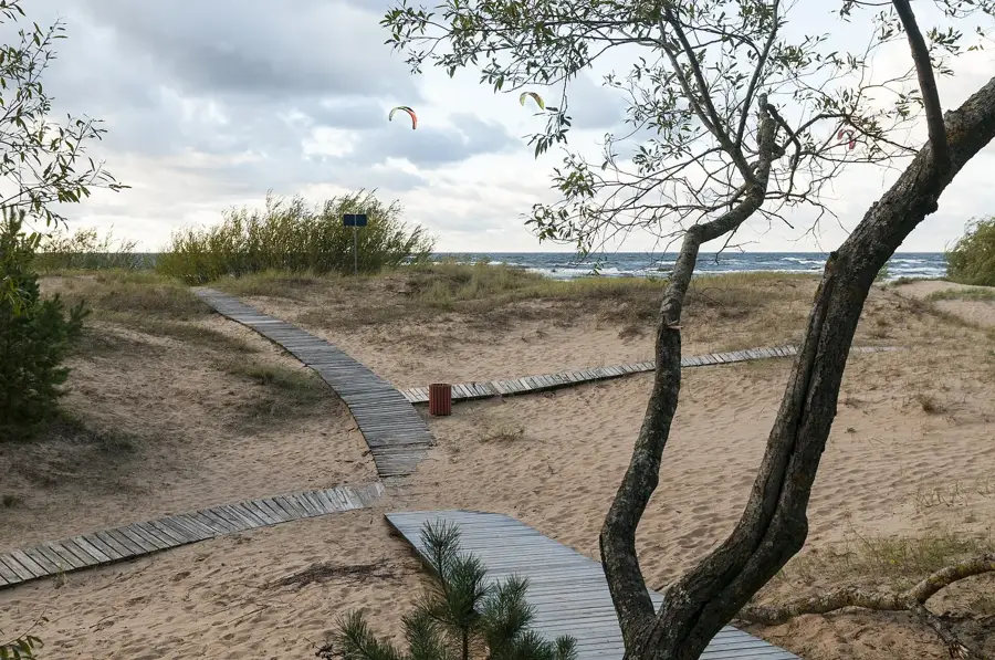
- Top sights: Mangaļsalas pludmale · Zirgu peldvieta · Vecāķu pludmale
- Nearby: Vecāķi (4 km)
Best time to visit & climate
The most pleasant time to visit is Jun–Aug.
| Jan | Feb | Mar | Apr | May | Jun | Jul | Aug | Sep | Oct | Nov | Dec | |
|---|---|---|---|---|---|---|---|---|---|---|---|---|
| Avg °C | -4 | -4 | 0 | 5 | 11 | 15 | 18 | 18 | 14 | 8 | 3 | -1 |
| Rain mm | 52 | 43 | 41 | 43 | 44 | 69 | 72 | 73 | 55 | 71 | 68 | 57 |
📋 Practical info
Geography
Facts
- The Mangaļsala mole was constructed between 1850 and 1861.
- The Daugava is the largest river in the delta, with a total length of 1,020 km.
- The area is located on the main Baltic bird migration route.
- Salmon use the mouth annually as a passage to their spawning grounds.
- The historical Daugavgrīva Fortress guarded the entrance for centuries.
- Halophilic plants thrive here despite the proximity to the freshwater river.
Explore nearby
Notable places around
Route planner — Car & Motorhome
Where do you start? We build the route here, with stops and country notes along the way.
© OpenStreetMap contributors · OpenRouteService
Sights in the town Daugava River Mouth (11)
Daugavgrīvas cietoksnis🛡️ fortress
A historical fortress at the mouth of the Daugava River, originally used to defend Riga.
Sights nearby
Frequently asked questions
Where is the delta?
What can you see in Mangaļsala?
Are there beaches there?
Are you allowed to walk on the pier?
What birds live here?
Daugava River Mouth: where is it located?
Daugava River Mouth: what is there to see?
Daugava River Mouth: when is the best time to visit?
Daugava River Mouth: why is it worth visiting?

Nearby cities