Plizio Visual Lab
Nam Khan River
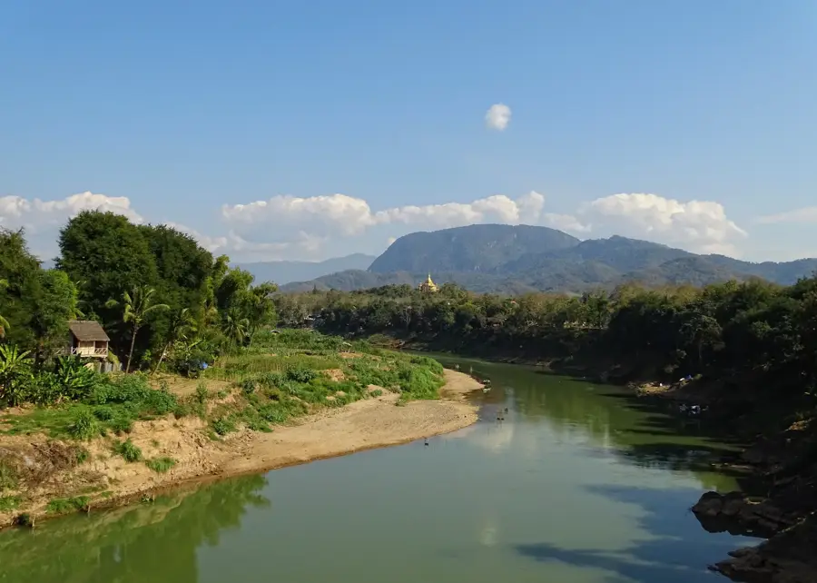
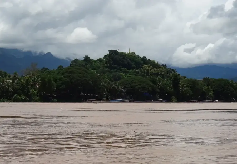
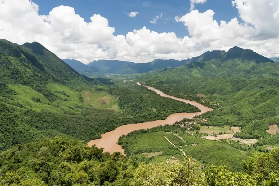
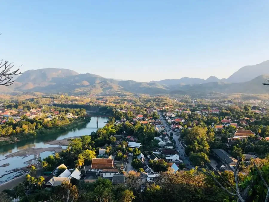
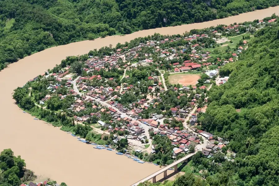
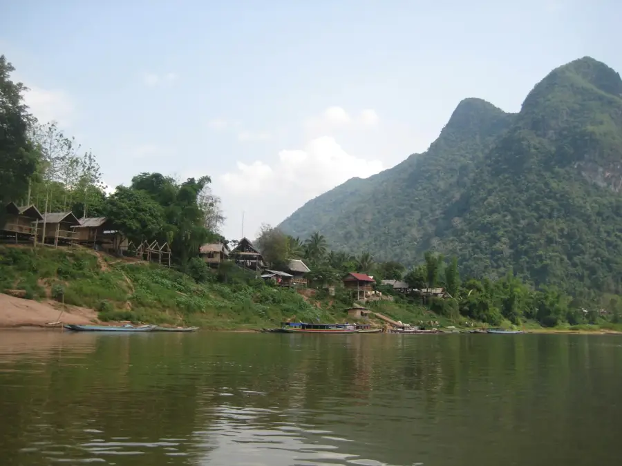
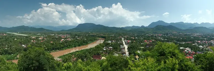
The Nam Khan River is a significant tributary of the Mekong River in northern Laos, playing a vital role in the region's ecology and culture. Stretching for approximately 200 kilometers, it flows through lush, mountainous terrain and dense tropical forests before joining the Mekong right at the peninsula of the historic city of Luang Prabang. The river is a lifeline for numerous local villages, providing essential resources for fishing, agriculture, and transportation. Along its course lies the famous Tad Sae Waterfall, known for its multi-tiered limestone cascades that are particularly lively during the wet season. The relatively calm waters of the Nam Khan make it a popular destination for kayaking and boat tours, allowing visitors to experience rural Laotian life.
- Location: Laos
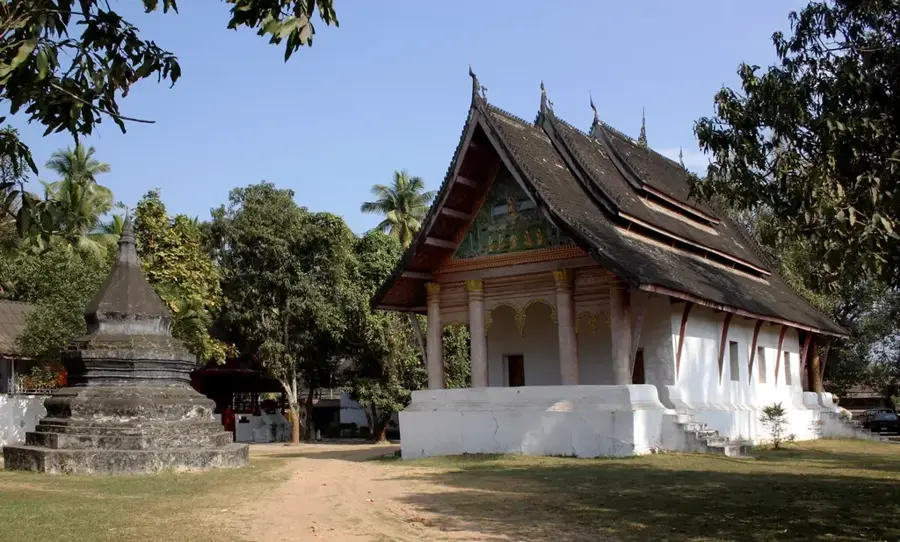
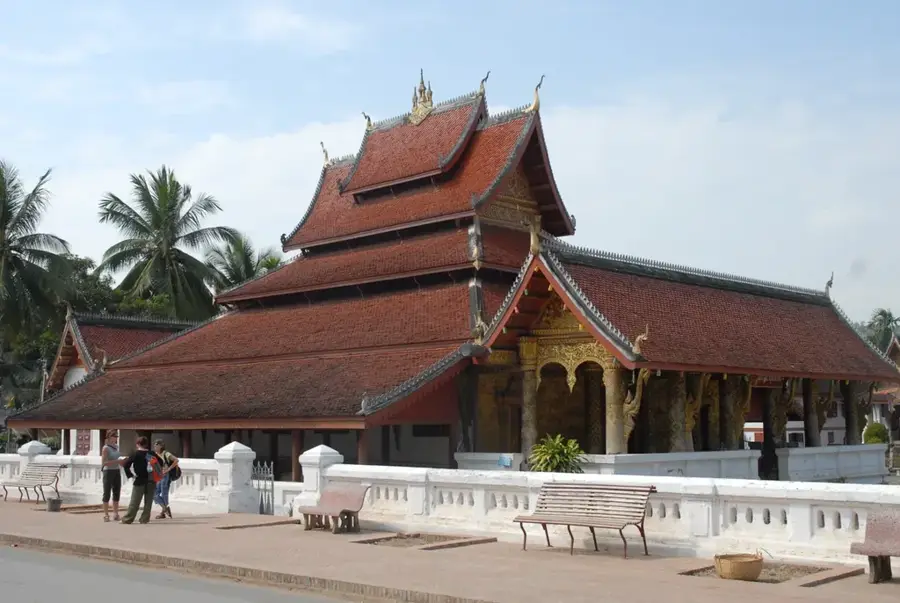
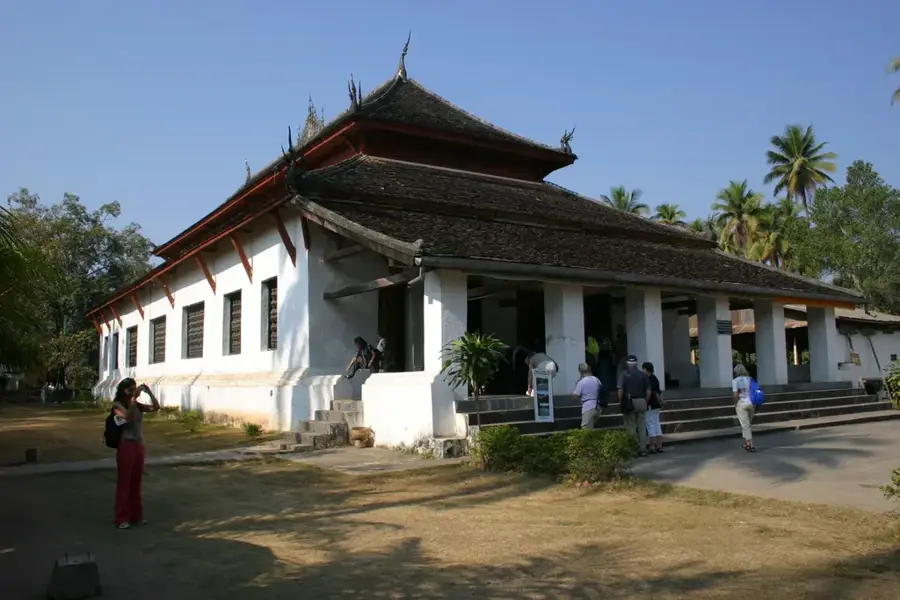
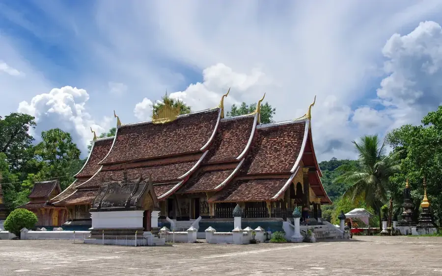
- Top sights: Bounnachanh · Imprint of Buddha's Foot · Wat Chom Phet
- Nearby: Kasi (20 km)
Best time to visit & climate
The most pleasant time to visit is Jan, Feb, Nov.
| Jan | Feb | Mar | Apr | May | Jun | Jul | Aug | Sep | Oct | Nov | Dec | |
|---|---|---|---|---|---|---|---|---|---|---|---|---|
| Avg °C | 19 | 22 | 24 | 26 | 26 | 26 | 25 | 25 | 25 | 24 | 21 | 19 |
| Rain mm | 14 | 6 | 31 | 62 | 121 | 116 | 219 | 234 | 127 | 56 | 23 | 12 |
📋 Practical info
Geography
Facts
- Major tributary of the Mekong River.
- Merges with the Mekong in Luang Prabang.
- Measures approximately 200 kilometers in length.
- Features the Tad Sae multi-tiered waterfalls.
- Essential for local agriculture and fishing.
- Popular spot for tubing and kayaking excursions.
Explore nearby
Notable places around
Route planner — Car & Motorhome
Where do you start? We build the route here, with stops and country notes along the way.
© OpenStreetMap contributors · OpenRouteService
Sights in the town Nam Khan River (7)
Sights nearby
Frequently asked questions
Can you swim in the Nam Khan River?
Are kayak tours offered?
Are there waterfalls on the Nam Khan?
When is the current strongest?
Are there restaurants along the riverbank?
Nam Khan River: where is it located?
Nam Khan River: what is there to see?
Nam Khan River: when is the best time to visit?
Nam Khan River: why is it worth visiting?

Nearby cities
History & landmarks


More places