Plizio Visual Lab
Wadi al-Batin

Weather…
Water temperature…
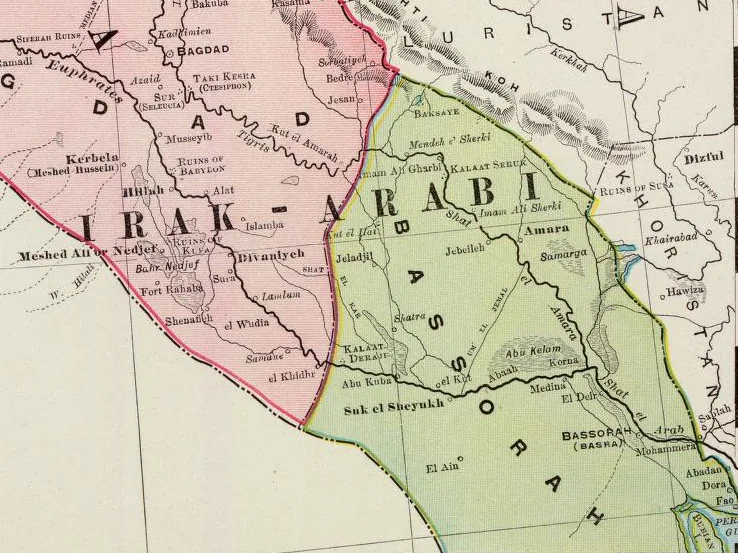
Wadi al-Batin is a dry river valley in northwestern Kuwait, forming part of the ancient Mesopotamian river system. It extends approximately 100 km along the Kuwait-Saudi Arabia border and serves as a natural boundary between the Arabian Peninsula and Mesopotamia. Geologically, the valley consists of Quaternary alluvial deposits shaped by episodic flash floods. Historically, it was a key trade route connecting the Persian Gulf to the interior. The area is rich in archaeological sites, including Bronze Age settlements and tools. Vegetation is sparse, dominated by drought-resistant acacia and shrubs. The wadi also acts as a drainage basin for sporadic rainfall, supporting limited agriculture and grazing.
Best time to visit & climate
The most pleasant time to visit is Mar, Apr, Nov.
| Jan | Feb | Mar | Apr | May | Jun | Jul | Aug | Sep | Oct | Nov | Dec | |
|---|---|---|---|---|---|---|---|---|---|---|---|---|
| Avg °C | 11 | 14 | 19 | 25 | 31 | 35 | 37 | 37 | 33 | 27 | 18 | 13 |
| Rain mm | 5 | 2 | 3 | 4 | 1 | 0 | 0 | 0 | 0 | 1 | 7 | 6 |
📋 Practical info
Geography
Facts
- Length: approximately 100 km
- Maximum width: 15 km
- Highest elevation: 200 m above sea level
- Average annual rainfall: less than 100 mm
- Bronze Age archaeological sites: over 20
- Distance from Kuwait City: 80 km
Explore nearby
Notable places around
Route planner — Car & Motorhome
Where do you start? We build the route here, with stops and country notes along the way.
© OpenStreetMap contributors · OpenRouteService
Sights nearby
Frequently asked questions
What is Wadi al-Batin?
Can you visit the Wadi?
What is the weather like there?
Is there any vegetation?
Is the Wadi suitable for off-roading?
Wadi al-Batin: where is it located?
Wadi al-Batin: when is the best time to visit?
Wadi al-Batin: why is it worth visiting?

History & landmarks


Nature