Plizio Visual Lab
Jabal Al-Maseilah

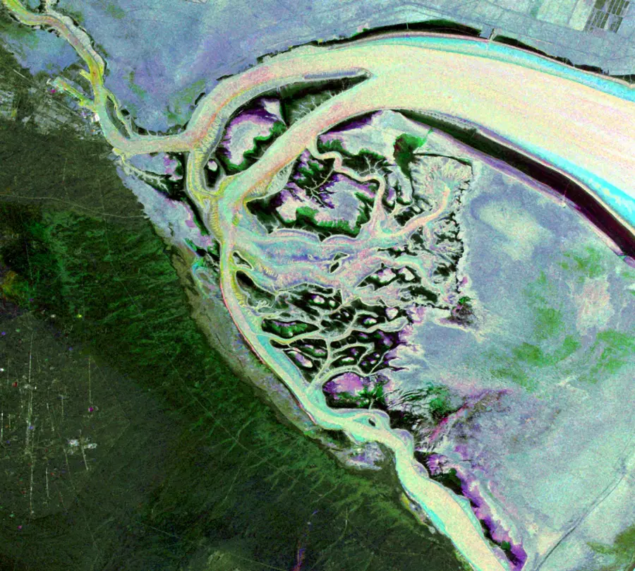
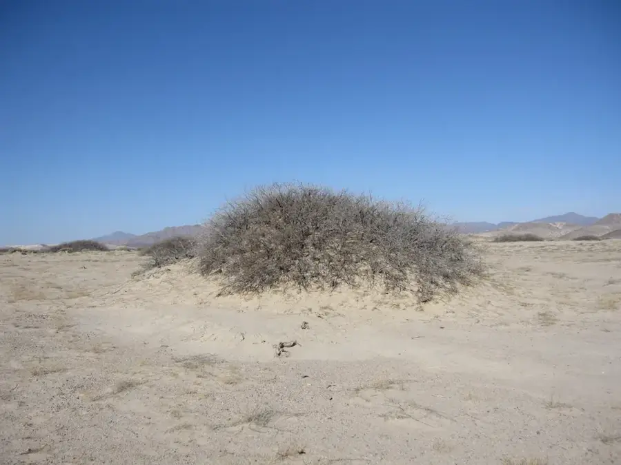
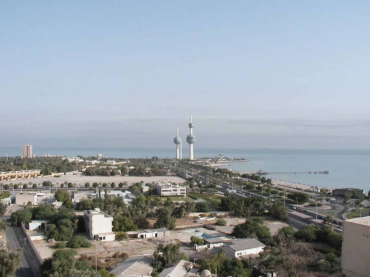
Jabal Al-Maseilah is a distinctive natural elevation in a country characterized by its largely flat desert terrain. This isolated hill is primarily composed of marine sedimentary rocks, which provide geologists with insights into the region's ancient environmental history. Over millennia, coastal erosion and weathering processes have shaped its profile, making it a rare topographical feature near Kuwait's shoreline. From its summit, the hill provides a unique vantage point over the expanding southern residential areas and the blue waters of the Persian Gulf. It serves as an important landmark for those looking to understand the natural landscape of Kuwait before the onset of modern urban development. The sparse vegetation found on its slopes consists of hardy desert shrubs adapted to the high salinity of the coastal air and the extreme heat. For locals and visitors alike, it remains a quiet spot to observe the geological heritage and the scenic contrast between the desert and the sea.
- Location: Kuwait
- Top sights: Noor Mosque · Oqba Bin wahab Mosque · Al-Hafed Bin Shehab Al-Zehri
- Nearby: Fintas (5 km)
Best time to visit & climate
The most pleasant time to visit is Mar, Apr, Nov.
| Jan | Feb | Mar | Apr | May | Jun | Jul | Aug | Sep | Oct | Nov | Dec | |
|---|---|---|---|---|---|---|---|---|---|---|---|---|
| Avg °C | 14 | 16 | 20 | 25 | 31 | 36 | 37 | 37 | 34 | 29 | 22 | 16 |
| Rain mm | 12 | 14 | 4 | 8 | 1 | 0 | 0 | 0 | 0 | 0 | 3 | 7 |
📋 Practical info
Geography
Facts
- Elevation: 135 m (443 ft) above sea level
- Height above plain: 80 m (262 ft)
- Age: Miocene (15 million years old)
- Military installations: 2 radar bases
- Distance to Iraq border: 10 km (6.2 mi)
- Telecommunication towers: 3
Explore nearby
Notable places around
Route planner — Car & Motorhome
Where do you start? We build the route here, with stops and country notes along the way.
© OpenStreetMap contributors · OpenRouteService
Sights in the town Jabal Al-Maseilah (3)
Sights nearby
Frequently asked questions
How high is Jabal al-Maseilah hill?
Are there archaeological sites there?
Is the climb up Jabal al-Maseilah difficult?
Can you drive up the hill by car?
Is photography allowed at Jabal al-Maseilah?
Jabal Al-Maseilah: where is it located?
Jabal Al-Maseilah: what is there to see?
Jabal Al-Maseilah: when is the best time to visit?
Jabal Al-Maseilah: why is it worth visiting?

History & landmarks
Nature
More places