Plizio Visual Lab
Umm Al-Aish Depression
Weather…
Water temperature…
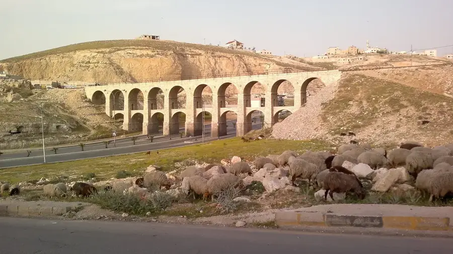
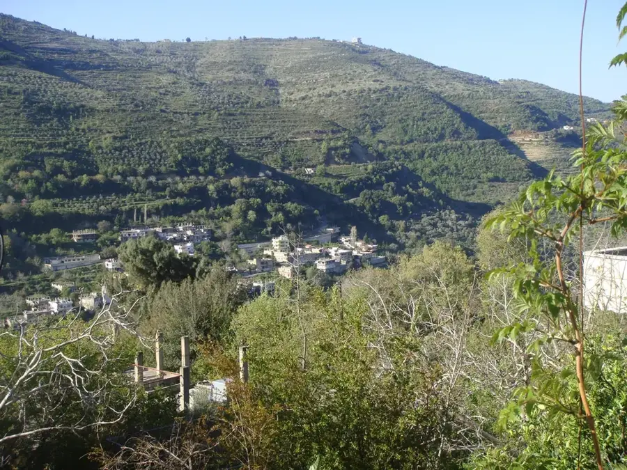
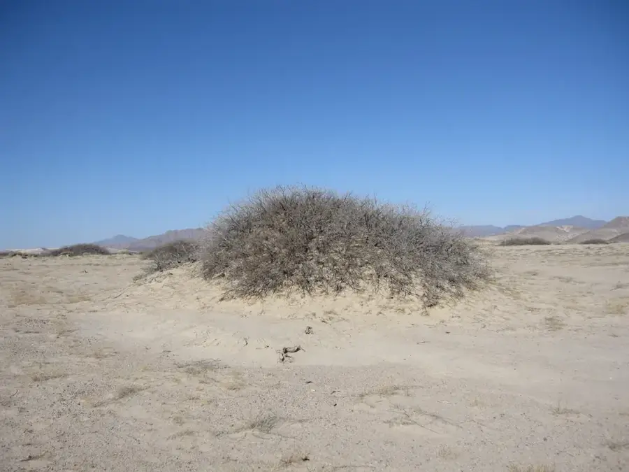
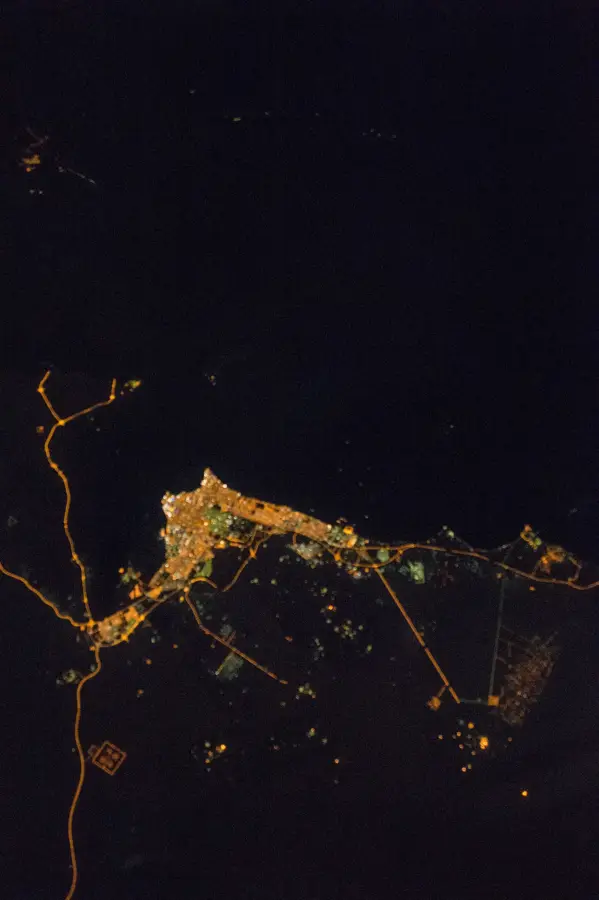
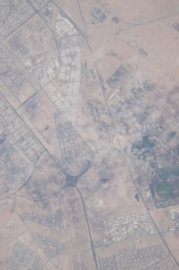
The Umm Al-Aish Depression in northern Kuwait is a significant geographical feature that serves as a vital ecological oasis within the desert environment. This natural hollow is characterized by its substantial underground freshwater reserves, which are sustained by an intricate network of drainage channels across the northern plains. Following seasonal rains, the depression often transforms into a lush sanctuary, attracting diverse species of migratory birds traversing the Arabian Peninsula. Beyond its natural value, Umm Al-Aish holds a place in modern history as the site of Kuwait's first satellite earth station, commissioned in 1969. This facility was a cornerstone of the nation's telecommunications development until it was destroyed during the Gulf War in 1991. Today, the area remains a focus for environmental studies and geological research, highlighting the critical role of hidden water resources in supporting life and biodiversity in one of the world's most arid regions.
- Location: Kuwait
- Nearby: Al Jahra (27 km)
Best time to visit & climate
The most pleasant time to visit is Mar, Apr, Nov.
| Jan | Feb | Mar | Apr | May | Jun | Jul | Aug | Sep | Oct | Nov | Dec | |
|---|---|---|---|---|---|---|---|---|---|---|---|---|
| Avg °C | 12 | 15 | 20 | 26 | 32 | 36 | 38 | 38 | 34 | 29 | 20 | 14 |
| Rain mm | 9 | 8 | 3 | 5 | 1 | 0 | 0 | 0 | 0 | 1 | 4 | 6 |
📋 Practical info
Geography
Facts
- Elevation: 60 m (197 ft) above sea level
- Area: 30 km² (11.6 sq mi)
- Soil salinity: 40 g/kg (4%)
- Seasonal lake area: up to 5 km² (1.9 sq mi)
- Historical salt yield: 100 tons per year
- Salicornia yield: 2 tons per hectare experimentally
Explore nearby
Notable places around
Route planner — Car & Motorhome
Where do you start? We build the route here, with stops and country notes along the way.
© OpenStreetMap contributors · OpenRouteService
Sights nearby
Frequently asked questions
What does the name Umm al-Aish mean?
Are there drinking water sources there?
What can you do in the depression?
Is there mobile reception there?
How far is it to the nearest city?
Umm Al-Aish Depression: where is it located?
Umm Al-Aish Depression: when is the best time to visit?
Umm Al-Aish Depression: why is it worth visiting?

History & landmarks
Nature


More places