Plizio Visual Lab
Wadi Al-Shagaya

Weather…
Water temperature…
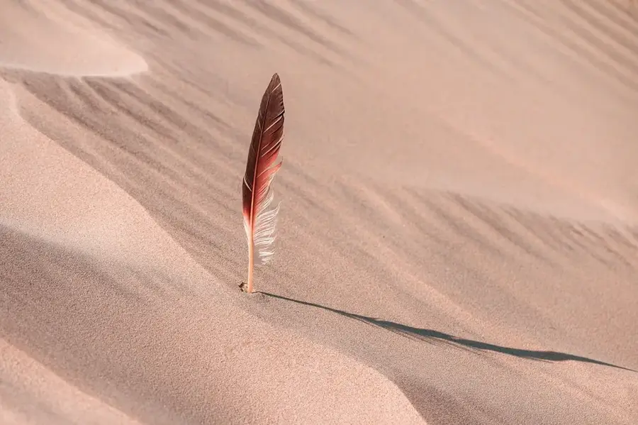
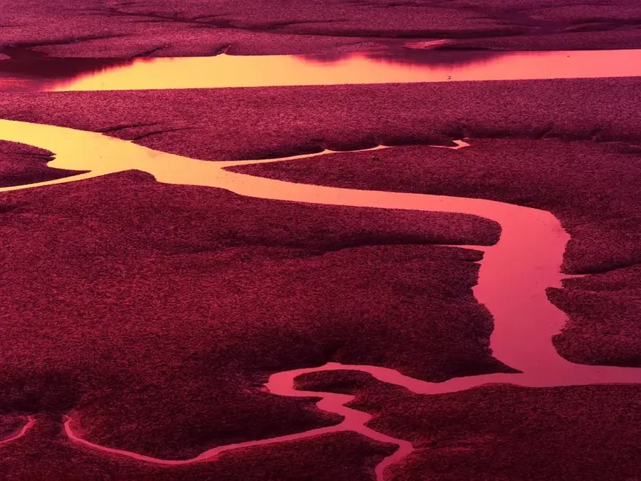
Wadi Al-Shagaya is a prominent geographical feature in southwestern Kuwait, serving as the primary drainage channel for the Ash-Shaqaya plateau. This area is home to some of the highest elevations in the country, reaching up to 300 meters above sea level. The wadi is characterized by its deep-cut erosion gullies and rugged terrain, which have been meticulously carved out over millennia by sporadic but intense seasonal rainfall. While the valley remains dry for most of the year, it plays a crucial role in the local ecosystem, supporting resilient desert vegetation that thrives on residual moisture beneath the surface. During the rainy season, the wadi can transform into a temporary river, reshaping the landscape through sediment transport and hydraulic force. Geologically, it features a fascinating window into the sedimentary layers of the northern Arabian Peninsula. The site is valued for its stark natural beauty and its scientific importance in understanding the hydrological and erosional processes that define Kuwait's desert interior.
Best time to visit & climate
The most pleasant time to visit is Mar, Apr, Nov.
| Jan | Feb | Mar | Apr | May | Jun | Jul | Aug | Sep | Oct | Nov | Dec | |
|---|---|---|---|---|---|---|---|---|---|---|---|---|
| Avg °C | 11 | 14 | 19 | 25 | 31 | 35 | 37 | 37 | 33 | 27 | 18 | 13 |
| Rain mm | 5 | 2 | 3 | 4 | 1 | 0 | 0 | 0 | 0 | 1 | 7 | 6 |
📋 Practical info
Geography
Facts
- Length: 25 km (15.5 mi)
- Depth: up to 8 m (26 ft)
- Catchment area: 150 km² (57.9 sq mi)
- Recharge rate: 10 million m³/year
- Number of recharge dams: 2
- Average flow during floods: 200 m³/s (7,060 cfs)
Explore nearby
Notable places around
Route planner — Car & Motorhome
Where do you start? We build the route here, with stops and country notes along the way.
© OpenStreetMap contributors · OpenRouteService
Sights in the town Wadi Al-Shagaya (1)
Sights nearby
Frequently asked questions
What is Wadi al-Shagaya?
Can you visit the Al-Shagaya nature reserve?
Which animals live in Wadi al-Shagaya?
Is the valley suitable for off-roading?
Is there a visitor center there?
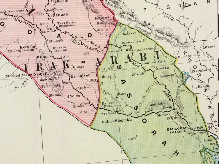
Wadi Al-Shagaya: where is it located?
Wadi Al-Shagaya: when is the best time to visit?
Wadi Al-Shagaya: why is it worth visiting?

History & landmarks


Nature