Plizio Visual Lab
Khabrat Al-Awazim

Weather…
Water temperature…
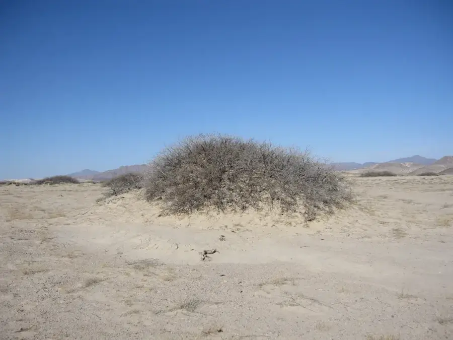
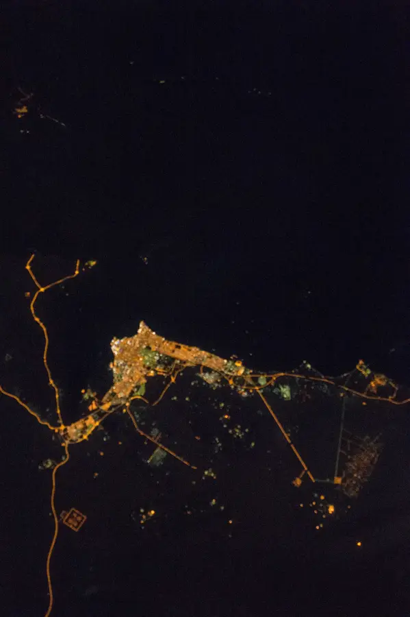
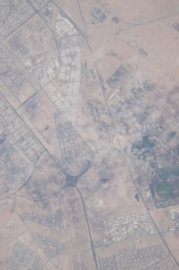
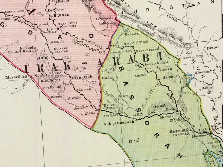
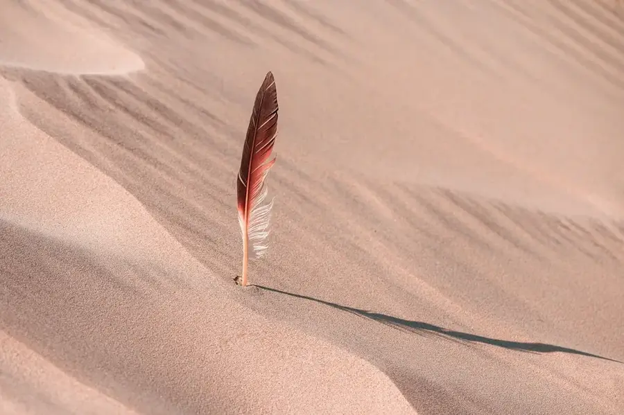
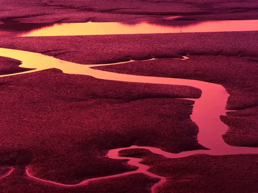
Khabrat al-Awazim is a significant desert depression located in northern Kuwait, belonging to a class of landforms known locally as 'khabras.' These basins are characterized by their silty, clay-rich floors that catch and retain runoff water during the infrequent but heavy winter rains. Unlike the surrounding sandy terrain, the impermeable sediment layers allow water to pool on the surface for extended periods, creating temporary oases in an otherwise parched environment. Historically, this site was a crucial waypoint for nomadic Bedouin tribes, especially the Al-Awazim group for whom it is named, providing a reliable water source for their livestock during seasonal migrations. In the contemporary era, these pools remain vital ecological hubs, supporting a variety of desert fauna including migratory birds and small mammals that depend on these transient water bodies. For visitors, Khabrat al-Awazim provides a profound look at the delicate balance of life in the desert and illustrates how traditional life was dictated by the subtle variations in the landscape's ability to hold life-sustaining water.
- Location: Kuwait
- Nearby: Al Jahra (42 km)
Best time to visit & climate
The most pleasant time to visit is Mar, Apr, Nov.
| Jan | Feb | Mar | Apr | May | Jun | Jul | Aug | Sep | Oct | Nov | Dec | |
|---|---|---|---|---|---|---|---|---|---|---|---|---|
| Avg °C | 12 | 14 | 20 | 26 | 33 | 37 | 39 | 39 | 35 | 29 | 19 | 13 |
| Rain mm | 15 | 9 | 5 | 6 | 1 | 1 | 0 | 0 | 0 | 2 | 8 | 10 |
📋 Practical info
Geography
Facts
- Elevation: 40 m (131 ft) above sea level
- Area: 10 km² (3.9 sq mi)
- Water depth during floods: up to 0.5 m (1.6 ft)
- Annual collected water: 1 million m³
- Number of archaeological artifacts: 200+
- Distance from Iraq border: 15 km (9.3 mi)
Explore nearby
Notable places around
Route planner — Car & Motorhome
Where do you start? We build the route here, with stops and country notes along the way.
© OpenStreetMap contributors · OpenRouteService
Sights nearby
Frequently asked questions
What is the Khabrat al-Awazim basin?
Can you go birdwatching there?
Is the water suitable for swimming?
What clothing should be worn?
Are there camping possibilities there?
Khabrat Al-Awazim: where is it located?
Khabrat Al-Awazim: when is the best time to visit?
Khabrat Al-Awazim: why is it worth visiting?

History & landmarks


Nature
More places