Plizio Visual Lab
Khabrat Al-Faras

Weather…
Water temperature…
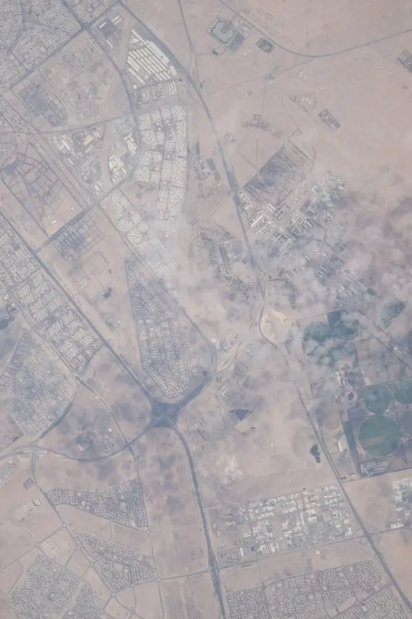
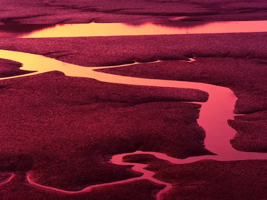
Khabrat Al-Faras is a significant natural depression located within the Al-Dibdibba region of northern Kuwait, serving as a vital focal point for the desert's hydrological cycle. This geographical feature functions as a large catchment area, capturing runoff water and nutrient-rich sediments brought in by various wadis after seasonal rainfall. While the depression remains dry for much of the year, the arrival of winter rains triggers a dramatic metamorphosis, turning the parched basin into a temporary lake surrounded by lush vegetation. This fleeting oasis provides a crucial habitat for specialized desert flora and serves as a strategic watering hole for local wildlife and migratory birds. The area gives a stark visual contrast to the surrounding arid plains, showcasing the hidden vitality of Kuwait's desert environment. For visitors and researchers, Khabrat Al-Faras represents a unique opportunity to witness the rapid resilience of desert ecosystems and the profound impact of water on parched landscapes. Its role in maintaining regional biodiversity makes it one of the most ecologically significant landmarks in the northern reaches of the country.
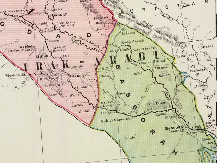
- Location: Kuwait
- Nearby: Al Jahra (51 km)
Best time to visit & climate
The most pleasant time to visit is Mar, Apr, Nov.
| Jan | Feb | Mar | Apr | May | Jun | Jul | Aug | Sep | Oct | Nov | Dec | |
|---|---|---|---|---|---|---|---|---|---|---|---|---|
| Avg °C | 12 | 15 | 20 | 26 | 32 | 36 | 38 | 38 | 34 | 29 | 20 | 14 |
| Rain mm | 9 | 8 | 3 | 5 | 1 | 0 | 0 | 0 | 0 | 1 | 4 | 6 |
📋 Practical info
Geography
Facts
- Length: 3 km (1.9 mi)
- Width: 1.5 km (0.93 mi)
- Elevation: 70 m (230 ft)
- Area: 4.5 km² (1.74 sq mi)
- Test track area: 2 km² (0.77 sq mi)
- Distance to Saudi border: 30 km (18.6 mi)
Explore nearby
Notable places around
Route planner — Car & Motorhome
Where do you start? We build the route here, with stops and country notes along the way.
© OpenStreetMap contributors · OpenRouteService
Sights nearby
Frequently asked questions
What is a 'Khabrat'?
When is Khabrat al-Faras most interesting?
Is the ground stable in the depression?
What flora can be found in Khabrat al-Faras?
Are there any archaeological remains there?
Khabrat Al-Faras: where is it located?
Khabrat Al-Faras: when is the best time to visit?
Khabrat Al-Faras: why is it worth visiting?

History & landmarks

Nature
More places