Plizio Visual Lab
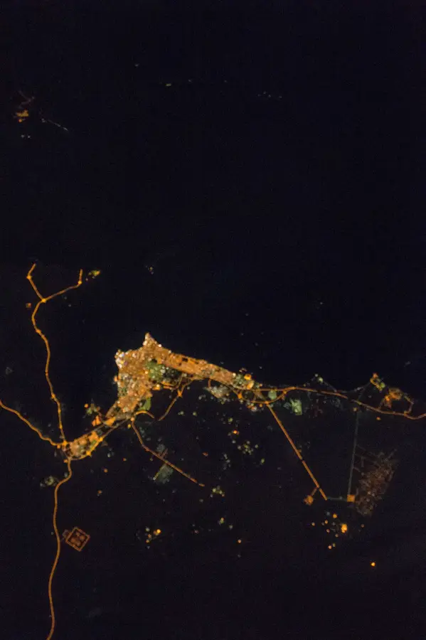
Jal az-Zor Escarpment

Weather…
Water temperature…
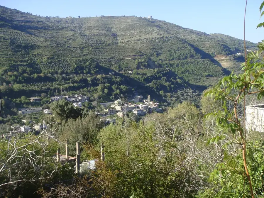
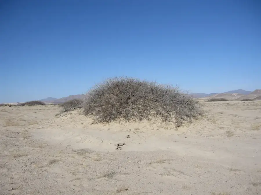
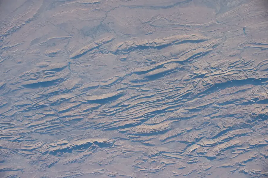
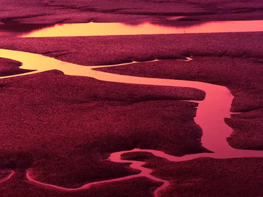
The Jal az-Zor Escarpment is a defining geological feature in northern Kuwait, stretching for roughly 60 kilometers along the northern shore of Kuwait Bay. Rising to a maximum elevation of about 145 meters, this limestone and sandstone ridge creates a dramatic contrast with the surrounding flat desert plains and the blue waters of the Persian Gulf. The formation was shaped over millions of years by tectonic activity and erosion, revealing sedimentary layers that are a goldmine for paleontologists. Numerous fossils from the Miocene epoch have been discovered here, providing vital information about the ancient environment of the Arabian Peninsula. For nature enthusiasts, the escarpment features some of the most spectacular viewpoints in the country, especially during sunrise and sunset. It also serves as a critical ecological corridor, providing nesting sites for raptors and a habitat for desert fauna like the red fox and various reptiles. The area remains a significant site for both scientific research and outdoor exploration in an otherwise level landscape.
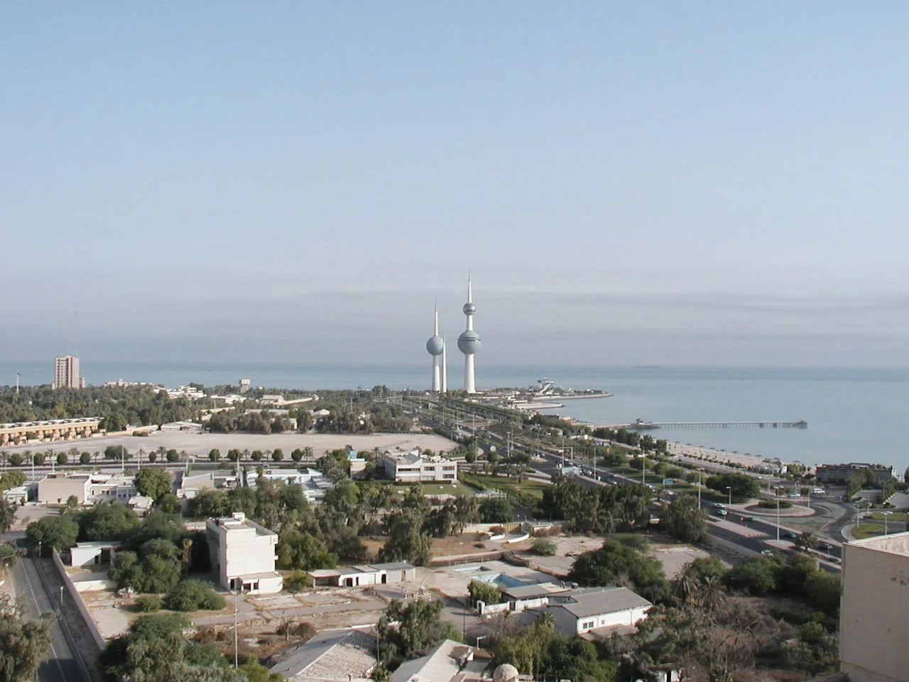
- Location: Kuwait
- Nearby: Al Jahra (8 km)
Best time to visit & climate
The most pleasant time to visit is Mar, Apr, Nov.
| Jan | Feb | Mar | Apr | May | Jun | Jul | Aug | Sep | Oct | Nov | Dec | |
|---|---|---|---|---|---|---|---|---|---|---|---|---|
| Avg °C | 12 | 15 | 20 | 26 | 32 | 36 | 38 | 38 | 34 | 29 | 20 | 14 |
| Rain mm | 9 | 8 | 3 | 5 | 1 | 0 | 0 | 0 | 0 | 1 | 4 | 6 |
📋 Practical info
Geography
Facts
- Length: 30 km
- Height: 145 m above the plain
- Geological age: Miocene (23-5 million years)
- Rock types: limestone, sandstone
- Fossil sites: 10
- Protection status: part of the national park
Explore nearby
Notable places around
Route planner — Car & Motorhome
Where do you start? We build the route here, with stops and country notes along the way.
© OpenStreetMap contributors · OpenRouteService
Sights in the town Jal az-Zor Escarpment (1)
Sights nearby
Frequently asked questions
How high is the Jal az-Zor Escarpment?
Is there a good view from there?
Is the path to the ridge dangerous?
Can you go rock climbing there?
Are there wild animals there?
Jal az-Zor Escarpment: where is it located?
Jal az-Zor Escarpment: when is the best time to visit?
Jal az-Zor Escarpment: why is it worth visiting?

History & landmarks

Nature
More places