Plizio Visual Lab
Umm al-Namil

Weather…
Water temperature…
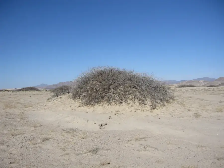
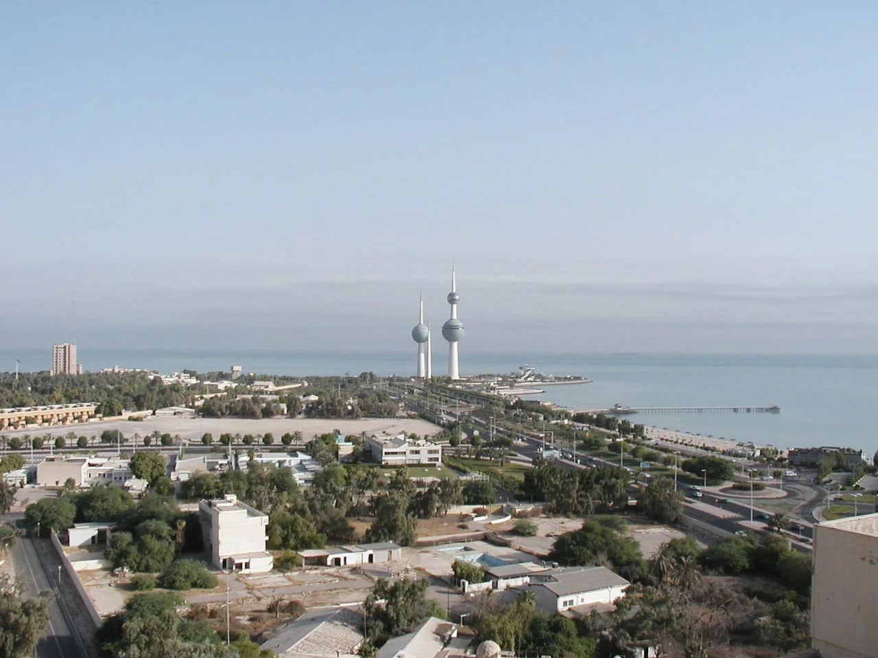
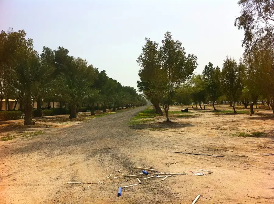
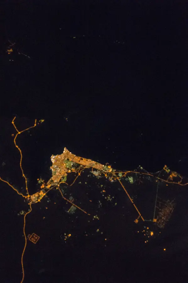
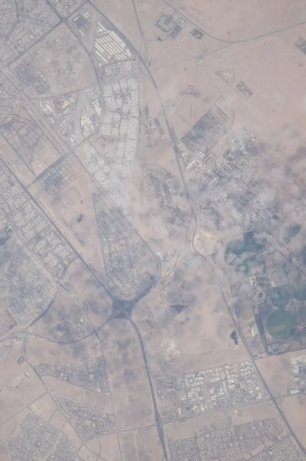
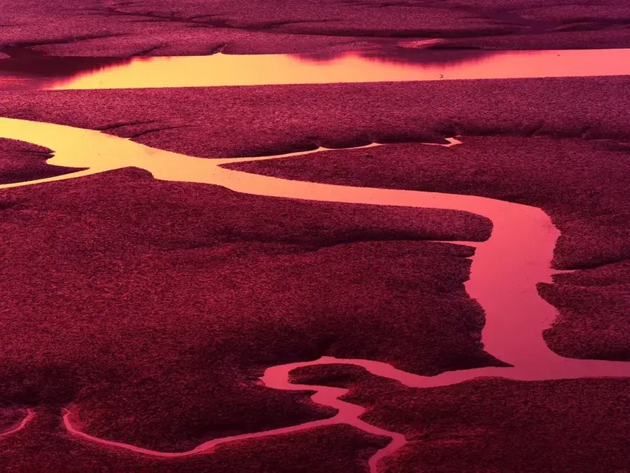
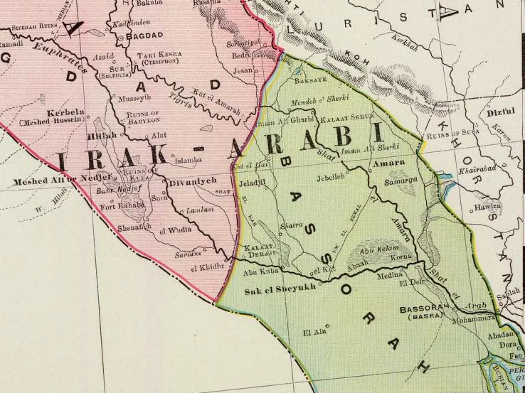
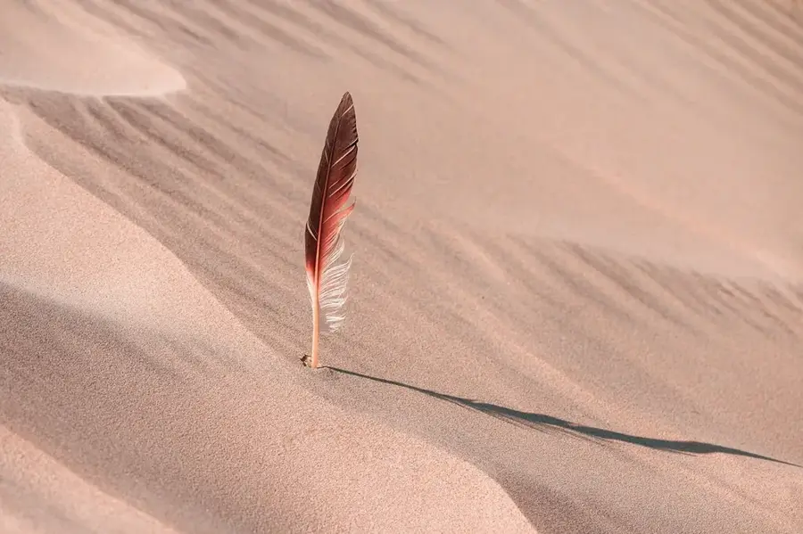
Umm al-Namil Island is located in the Kuwait Bay, northwest of Kuwait City. Its name, which translates to 'Mother of Ants,' reflects the large number of ants that were historically found on its terrain. The island is geographically unique because it is nearly connected to the mainland by a shallow seabed that emerges during low tide. Archaeological explorations on Umm al-Namil have yielded significant results, including pottery from the Bronze Age Dilmun civilization and remains from the early Islamic period, proving that the island has been inhabited for millennia. Today, the island is an important nature reserve and a sanctuary for local wildlife. It is particularly valued as a major stopover for migratory birds; large flocks of flamingos, herons, and plovers are frequently spotted along its shores. Covering an area of about 0.5 square kilometers, Umm al-Namil remains a quiet witness to Kuwait's ancient history and a vital ecological site in the busy waters of the Persian Gulf.
- Location: Kuwait
- Nearby: Sulaibikhat (5 km)
Best time to visit & climate
The most pleasant time to visit is Mar, Apr, Nov.
| Jan | Feb | Mar | Apr | May | Jun | Jul | Aug | Sep | Oct | Nov | Dec | |
|---|---|---|---|---|---|---|---|---|---|---|---|---|
| Avg °C | 14 | 15 | 20 | 25 | 31 | 35 | 37 | 37 | 34 | 29 | 21 | 16 |
| Rain mm | 12 | 8 | 4 | 7 | 1 | 0 | 0 | 0 | 0 | 1 | 6 | 8 |
📋 Practical info
Geography
Facts
- Area: 0.2 km²
- Distance to coast: 5 km
- Mangrove area: 0.05 km²
- Breeding bird species: 8
- Highest point: 2 m above sea level
- Protected since: 1998
Explore nearby
Notable places around
Route planner — Car & Motorhome
Where do you start? We build the route here, with stops and country notes along the way.
© OpenStreetMap contributors · OpenRouteService
Sights nearby
Frequently asked questions
Why is the island called 'Umm al-Namil'?
How far is it from Kuwait City?
Are there archaeological finds there?
Can you reach the island on foot during low tide?
Is the island a nature reserve?
Umm al-Namil: where is it located?
Umm al-Namil: when is the best time to visit?
Umm al-Namil: why is it worth visiting?

History & landmarks
Nature
More places