Plizio Visual Lab
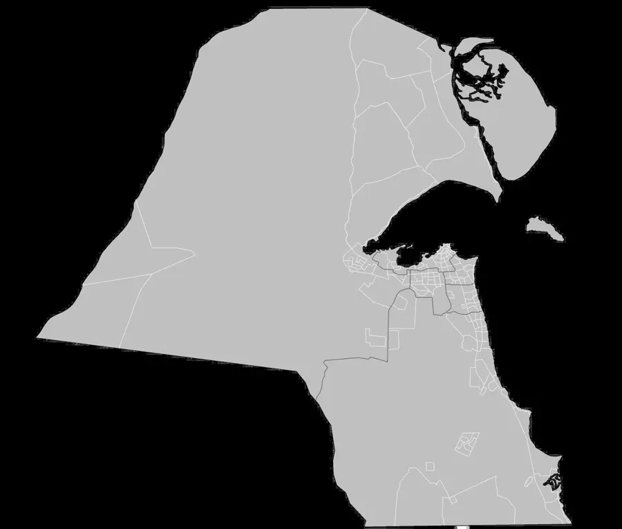
Al Mutla Ridge

Weather…
Water temperature…
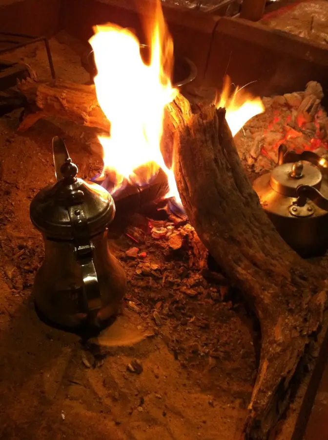
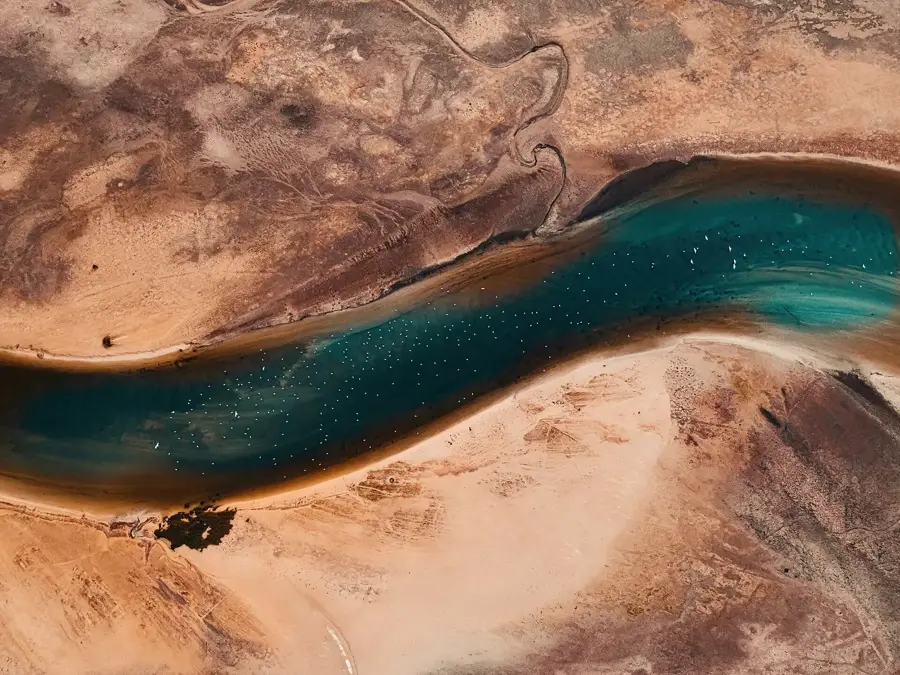
Al Mutla Ridge is a prominent geological formation in northern Kuwait, rising about 300 meters above sea level. It is a popular spot for locals to escape the flat terrain of the rest of the country and enjoy sweeping panoramic views. Especially at sunset, the ridge provides a spectacular backdrop as the desert sun bathes the landscape in golden tones. Historically, Al Mutla Ridge gained notoriety during the Gulf War as a site of strategic battles. Today, however, it is a peaceful place used primarily in winter for picnics and desert camping. Many adventurers come here for off-roading or simply to enjoy the fresh air and the silence of the desert. The elevation provides a welcome change from urban architecture. Around the ridge, traditional Bedouin tents and grazing camels can often be observed, giving the region an authentic desert character. There is no permanent tourist infrastructure, so visitors should bring their own water and supplies. The site is a paradise for photographers looking to capture the raw beauty of Kuwaiti nature. The journey from Kuwait City takes about 30 to 40 minutes via Highway 80. The best time to visit is from November to March, when temperatures are pleasantly cool. Al Mutla Ridge impressively shows that Kuwait has fascinating natural phenomena and wide horizons to offer beyond the coast.
- Location: Kuwait
- Top sights: ROAD - L · ROAD - E · ROAD - M
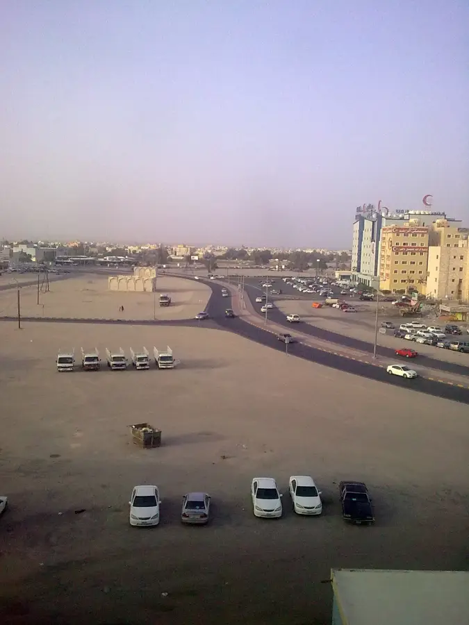
- Nearby: Al Jahra (4 km)
Best time to visit & climate
The most pleasant time to visit is Mar, Apr, Nov.
| Jan | Feb | Mar | Apr | May | Jun | Jul | Aug | Sep | Oct | Nov | Dec | |
|---|---|---|---|---|---|---|---|---|---|---|---|---|
| Avg °C | 12 | 15 | 20 | 26 | 32 | 36 | 38 | 38 | 34 | 29 | 20 | 14 |
| Rain mm | 9 | 8 | 3 | 5 | 1 | 0 | 0 | 0 | 0 | 1 | 4 | 6 |
📋 Practical info
Geography
Facts
- Highest point in Kuwait
- About 300 meters high
- Strategic site in the Gulf War
- Popular for desert camping
- Panoramic views of the bay
- Off-roading destination
- Stunning sunsets
- Near the city of Jahra
Explore nearby
Notable places around
Route planner — Car & Motorhome
Where do you start? We build the route here, with stops and country notes along the way.
© OpenStreetMap contributors · OpenRouteService
Sights in the town Al Mutla Ridge (3)
Sights nearby
Frequently asked questions
Al Mutla Ridge: where is it located?
Al Mutla Ridge: what is there to see?
Al Mutla Ridge: when is the best time to visit?
Al Mutla Ridge: why is it worth visiting?

Nearby cities
More places