Plizio Visual Lab
Jal Al-Zor Escarpment
Weather…
Water temperature…
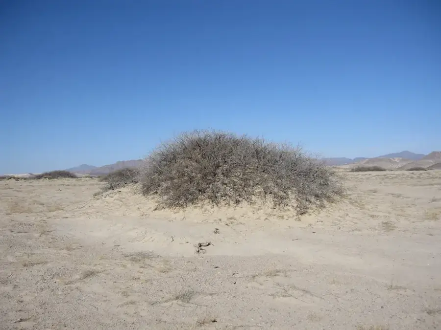
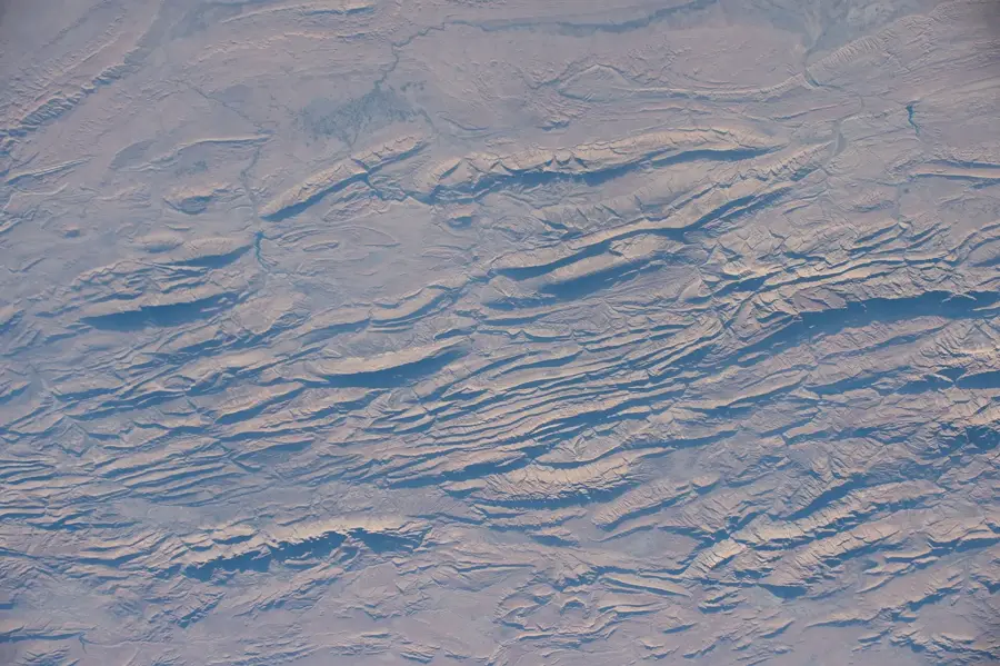
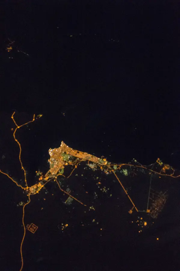
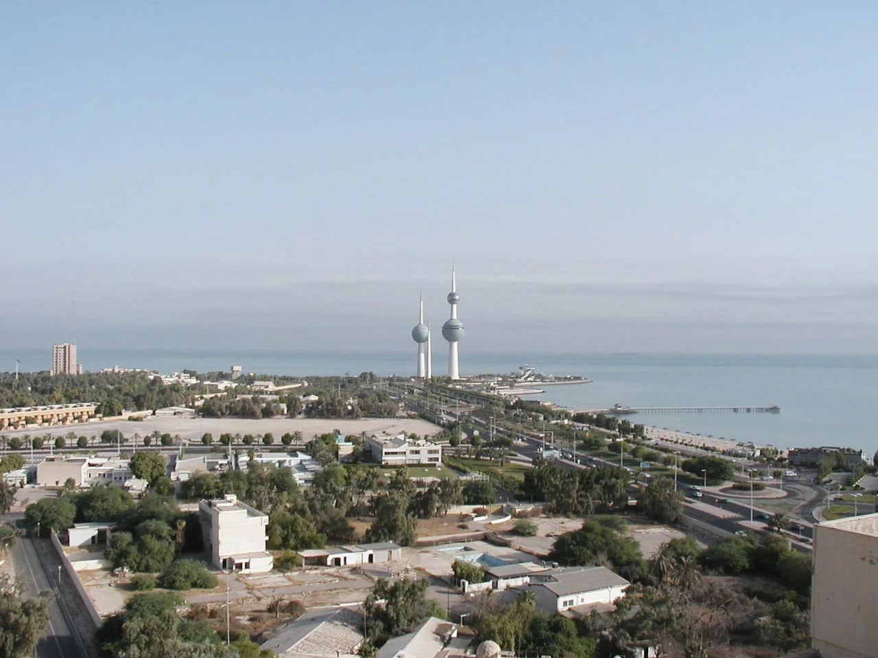
The Jal Al-Zor Escarpment is a defining geological feature of Kuwait, stretching as a formidable limestone ridge for approximately 60 kilometers along the northern fringes of Kuwait Bay. Reaching an elevation of up to 145 meters above sea level, it stands in stark contrast to the surrounding flat desert plains. Geologically, the escarpment is primarily composed of Eocene limestone and sandstone layers, showcasing millions of years of sedimentary history and wind erosion. The area is a vital ecological corridor, particularly for migratory birds of prey like eagles and falcons, which utilize the updrafts generated by the cliff face during their seasonal journeys. Beyond its biological significance, the ridge provides panoramic views of the bay and the distant skyline of Kuwait City. It is a favored destination for local naturalists and hikers during the cooler months, when the desert flora blooms briefly, transforming the arid landscape into a unique mosaic of life and stark geological beauty.
- Location: Kuwait
- Top sights: ROAD-U · ROAD-G · ROAD-T
- Nearby: Al Jahra (10 km)
Best time to visit & climate
The most pleasant time to visit is Mar, Apr, Nov.
| Jan | Feb | Mar | Apr | May | Jun | Jul | Aug | Sep | Oct | Nov | Dec | |
|---|---|---|---|---|---|---|---|---|---|---|---|---|
| Avg °C | 12 | 15 | 20 | 26 | 32 | 36 | 38 | 38 | 34 | 29 | 20 | 14 |
| Rain mm | 9 | 8 | 3 | 5 | 1 | 0 | 0 | 0 | 0 | 1 | 4 | 6 |
📋 Practical info
Geography
Facts
- Escarpment height: 145 m (476 ft) above sea level at its highest point
- Length: 80 km (50 mi) along the northeastern coast
- Age: Miocene epoch, approximately 23–5 million years old
- Distance from Kuwait City: 60 km (37 mi) northeast
- Annual rainfall: less than 100 mm (3.9 in)
- Oil fields nearby: Burgan field, one of the world's largest, located 20 km southwest
Explore nearby
Notable places around
Route planner — Car & Motorhome
Where do you start? We build the route here, with stops and country notes along the way.
© OpenStreetMap contributors · OpenRouteService
Sights in the town Jal Al-Zor Escarpment (3)
Sights nearby
Frequently asked questions
What is Jal al-Zor?
Can you go hiking there?
Are there wild animals there?
Is the drive up steep?
Do you need a permit to visit?
Jal Al-Zor Escarpment: where is it located?
Jal Al-Zor Escarpment: what is there to see?
Jal Al-Zor Escarpment: when is the best time to visit?
Jal Al-Zor Escarpment: why is it worth visiting?

History & landmarks

Nature

More places