Plizio Visual Lab
Kilifi Bridge
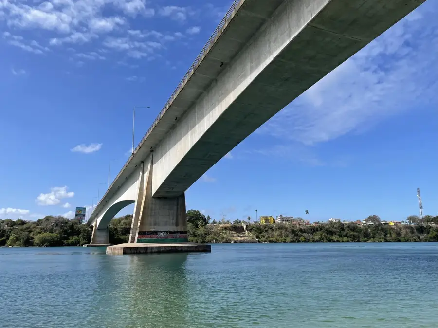
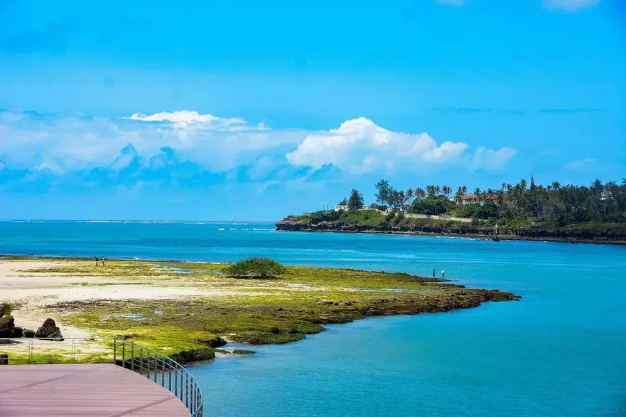
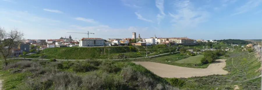
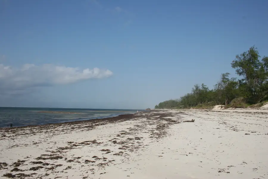
The Kilifi Bridge is an impressive engineering feat on the Kenyan coast and was the longest bridge in the country at the time of its completion. Opened in 1991 with financial assistance from the Japanese government, the bridge spans the Kilifi Creek, a deep inlet of the Indian Ocean. The structure has a total length of 420 meters and replaced an unreliable ferry service, significantly reducing travel time between Mombasa and Malindi. The design features a modern concrete deck supported by massive pillars anchored deep into the creek bed. From the bridge, travelers are treated to dramatic views of the turquoise waters, local fishing dhows, and lush mangrove forests lining the shores. It is a critical driver for the economic development of Kilifi County and a key segment of the B8 highway that connects the northern coastal region to the rest of the country.
- Location: Kenya
- Nearby: Uyombo (25 km)
Best time to visit & climate
The most pleasant time to visit is Jul–Sep.
| Jan | Feb | Mar | Apr | May | Jun | Jul | Aug | Sep | Oct | Nov | Dec | |
|---|---|---|---|---|---|---|---|---|---|---|---|---|
| Avg °C | 28 | 28 | 28 | 28 | 27 | 26 | 25 | 25 | 26 | 26 | 27 | 28 |
| Rain mm | 26 | 15 | 60 | 119 | 192 | 67 | 33 | 28 | 38 | 101 | 118 | 79 |
📋 Practical info
Geography
Facts
- Opened officially in 1991
- Total length is 420 meters
- Funded by Japanese ODA loans
- Spans across the scenic Kilifi Creek
- Key component of the Mombasa-Malindi highway
- Eliminated the need for a ferry crossing
Explore nearby
Notable places around
Route planner — Car & Motorhome
Where do you start? We build the route here, with stops and country notes along the way.
© OpenStreetMap contributors · OpenRouteService
Sights in the town Kilifi Bridge (1)
Sights nearby
Frequently asked questions
How long is the Kilifi Bridge?
What can you see from the bridge?
Is there a toll fee?
Is the bridge safe for pedestrians?
When was the bridge built?
Kilifi Bridge: where is it located?
Kilifi Bridge: when is the best time to visit?
Kilifi Bridge: why is it worth visiting?

Nearby cities


History & landmarks


More places