Plizio Visual Lab
Abidjan Lagoon
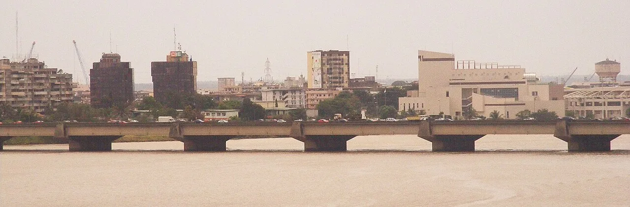
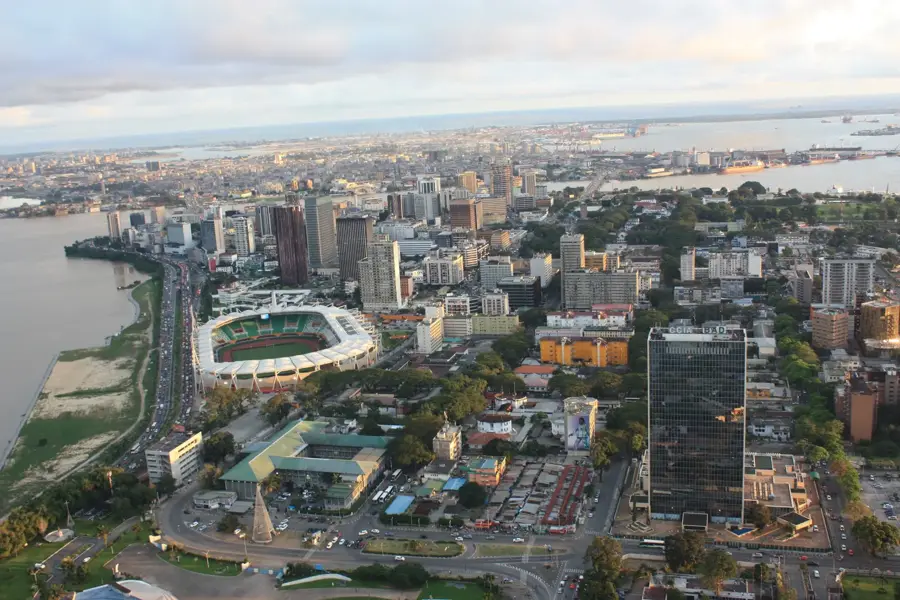
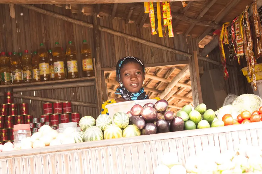
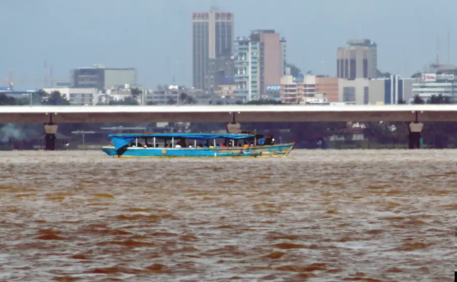
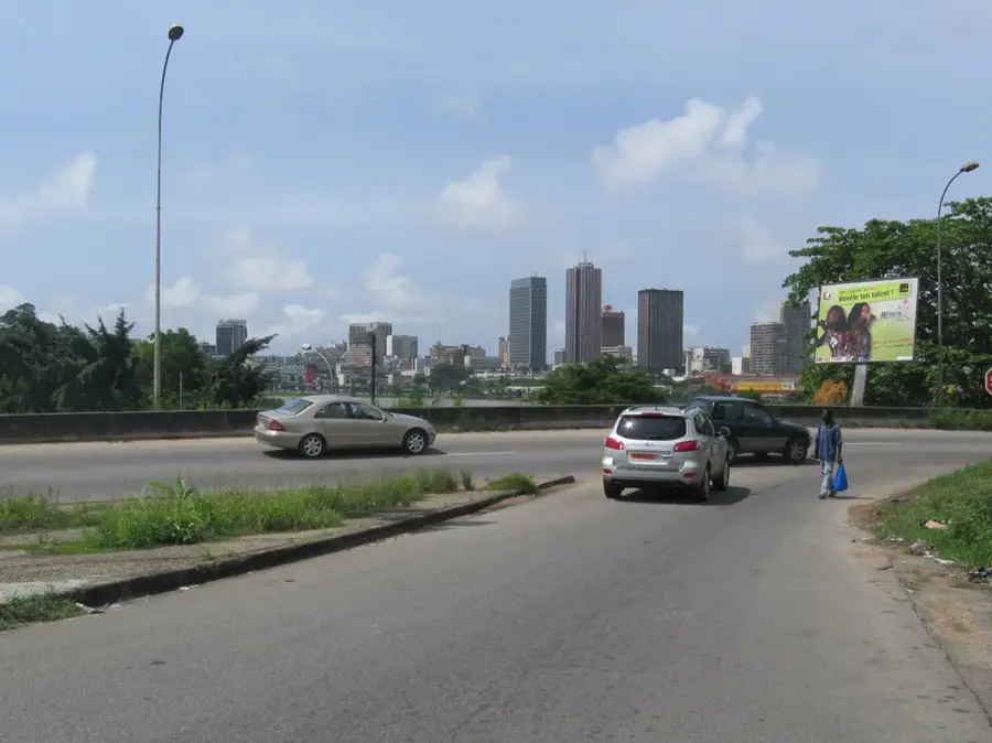
The Abidjan Lagoon, scientifically known as the Ébrié Lagoon, is the largest lagoon system in West Africa, stretching approximately 100 kilometers along the Atlantic coast of Ivory Coast. Covering an area of 560 square kilometers, it is separated from the Gulf of Guinea by a narrow littoral strip that was breached in 1950 by the construction of the Vridi Canal. This engineering feat transformed Abidjan from a small coastal settlement into a global maritime hub by allowing deep-sea vessels to access the calm interior waters. The lagoon is fed by several major rivers, including the Comoé and Mé, resulting in a complex brackish water environment that supports significant biodiversity and artisanal fisheries. Its shores are the heart of Ivorian economic life, hosting the administrative and commercial districts of the capital. Despite the industrial development, the lagoon remains a vital transportation artery for the city's millions of residents, though it faces severe environmental challenges.
- Location: Côte d’Ivoire
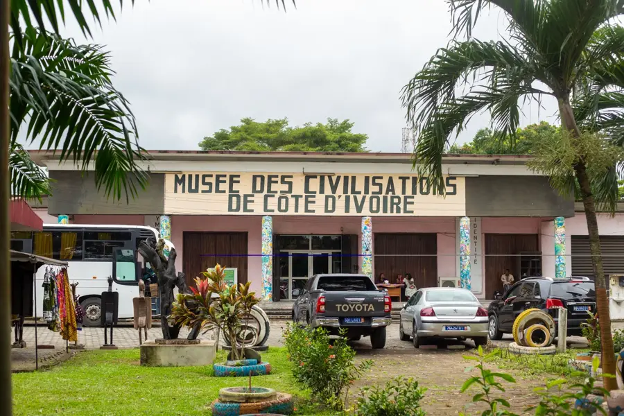
- Top sights: Orcaland · Eureka Galerie · Walls
- Nearby: Bingerville (14 km)
Best time to visit & climate
The most pleasant time to visit is Jan, Aug, Dec.
| Jan | Feb | Mar | Apr | May | Jun | Jul | Aug | Sep | Oct | Nov | Dec | |
|---|---|---|---|---|---|---|---|---|---|---|---|---|
| Avg °C | 27 | 28 | 28 | 27 | 27 | 26 | 25 | 24 | 25 | 26 | 27 | 27 |
| Rain mm | 26 | 63 | 130 | 158 | 201 | 260 | 98 | 47 | 99 | 183 | 110 | 50 |
📋 Practical info
Geography
Facts
- Covers a total surface area of 560 square kilometers.
- Extends for approximately 100 kilometers along the coast.
- The Vridi Canal was officially completed in 1950.
- Direct Atlantic connection enabled the deep-sea port.
- The maximum width of the lagoon is 4 kilometers.
- Crucial habitat for mangroves and West African manatees.
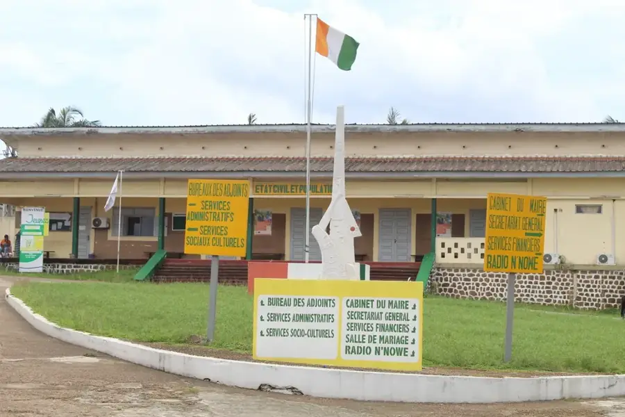
Explore nearby
Notable places around
Route planner — Car & Motorhome
Where do you start? We build the route here, with stops and country notes along the way.
© OpenStreetMap contributors · OpenRouteService
Sights in the town Abidjan Lagoon (5)
Sights nearby
Frequently asked questions
What is the Ébrié Lagoon?
Can you swim in the lagoon?
Are there boat connections?
What bridges cross the lagoon?
Are there sightseeing cruises for tourists?
Abidjan Lagoon: where is it located?
Abidjan Lagoon: what is there to see?
Abidjan Lagoon: when is the best time to visit?
Abidjan Lagoon: why is it worth visiting?

Nearby cities
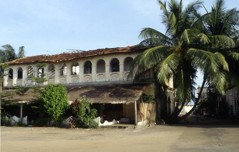
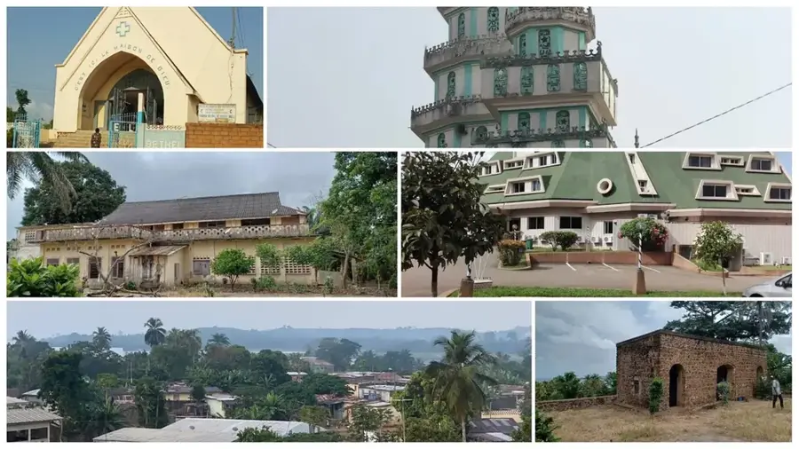
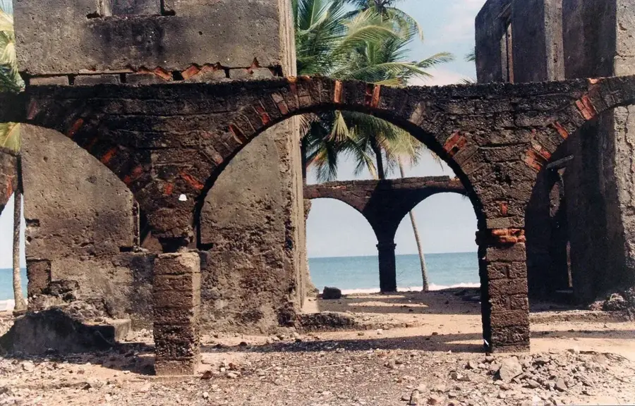
History & landmarks
Nature
More places