Plizio Visual Lab
Abidjan East Lagoon
Weather…
Water temperature…
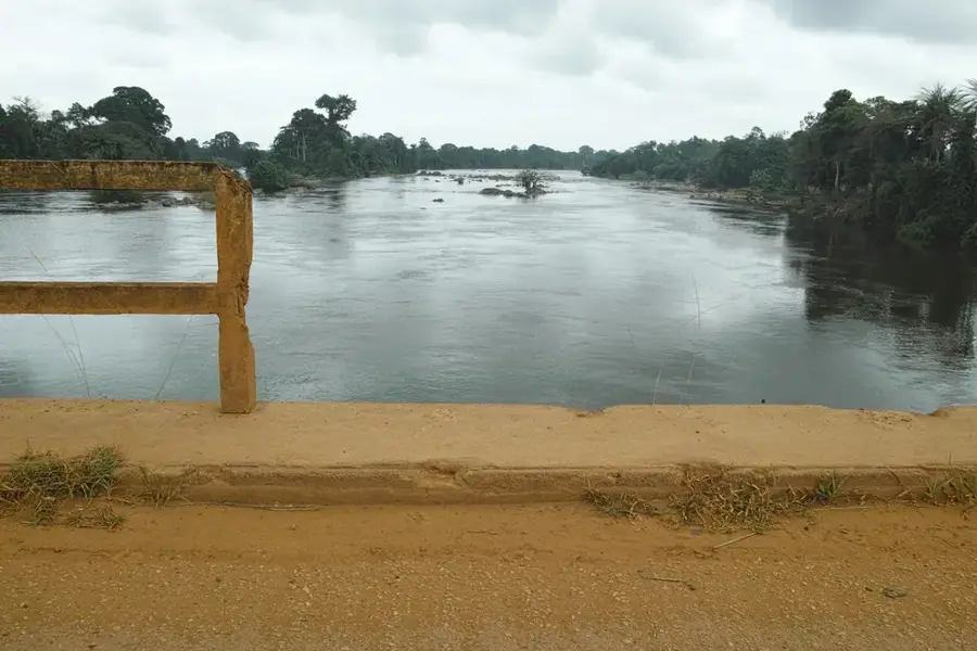
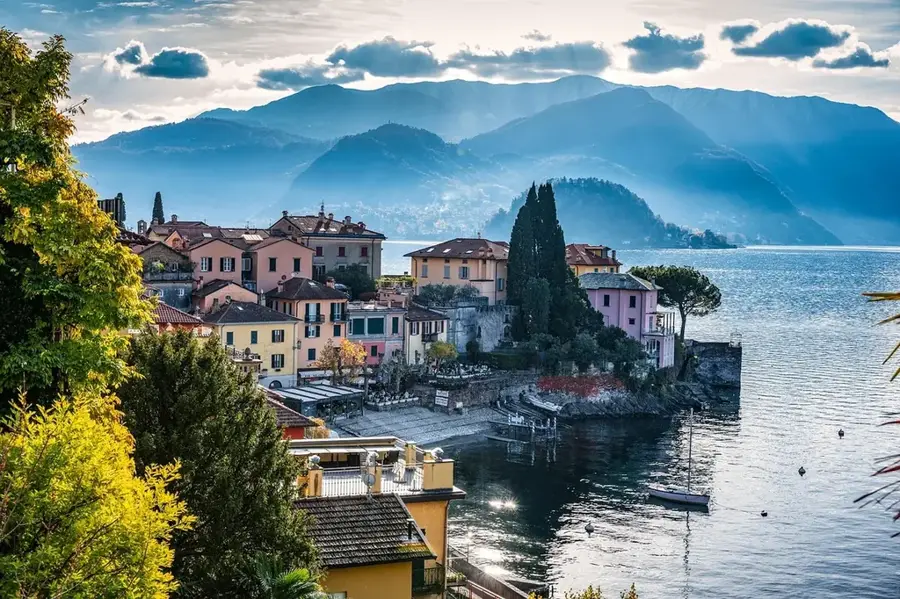
The eastern portion of the Ébrié Lagoon is a defining geographical feature of the Abidjan metropolitan area, connected to the Atlantic Ocean via the Vridi Canal which was completed in 1950. This vast brackish water body covers a total surface area of approximately 566 square kilometers and serves as a critical economic and transport artery for Côte d'Ivoire. Geographically, the eastern basin receives inflows from the Mé and Agnéby rivers, creating a nutrient-rich environment that supports diverse aquatic life and remnant mangrove forests. Historically, the lagoon shores hosted the first colonial administrative centers, including Bingerville, which served as the territory's capital in the early 20th century. Today, the landscape is characterized by a blend of industrial port infrastructure and expanding residential districts, necessitating ongoing environmental initiatives to mitigate pollution and preserve the lagoon's fragile ecological balance.
- Location: Côte d’Ivoire
- Nearby: Bingerville (11 km)
Best time to visit & climate
The most pleasant time to visit is Jan, Aug, Dec.
| Jan | Feb | Mar | Apr | May | Jun | Jul | Aug | Sep | Oct | Nov | Dec | |
|---|---|---|---|---|---|---|---|---|---|---|---|---|
| Avg °C | 27 | 28 | 28 | 27 | 27 | 26 | 25 | 24 | 25 | 26 | 27 | 27 |
| Rain mm | 26 | 63 | 130 | 158 | 201 | 260 | 98 | 47 | 99 | 183 | 110 | 50 |
📋 Practical info
Geography
Facts
- Total surface area covers 566 square km
- Average water depth is only 4.8 meters
- Vridi Canal was opened for shipping in 1950
- The lagoon spans approximately 130 km in length
- Estuary for the Mé and Agnéby rivers in the east
- Brackish ecosystem supporting mangrove forests
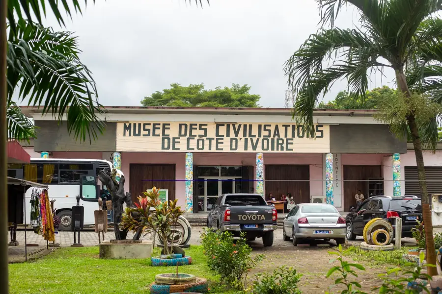
Explore nearby
Notable places around
Route planner — Car & Motorhome
Where do you start? We build the route here, with stops and country notes along the way.
© OpenStreetMap contributors · OpenRouteService
Sights nearby
Frequently asked questions
Is this part of the Ébrié Lagoon?
Can you do water sports there?
Are there hotels by the water?
Is the water clean?
Are there ferries?
Abidjan East Lagoon: where is it located?
Abidjan East Lagoon: when is the best time to visit?
Abidjan East Lagoon: why is it worth visiting?

Nature
More places