Plizio Visual Lab
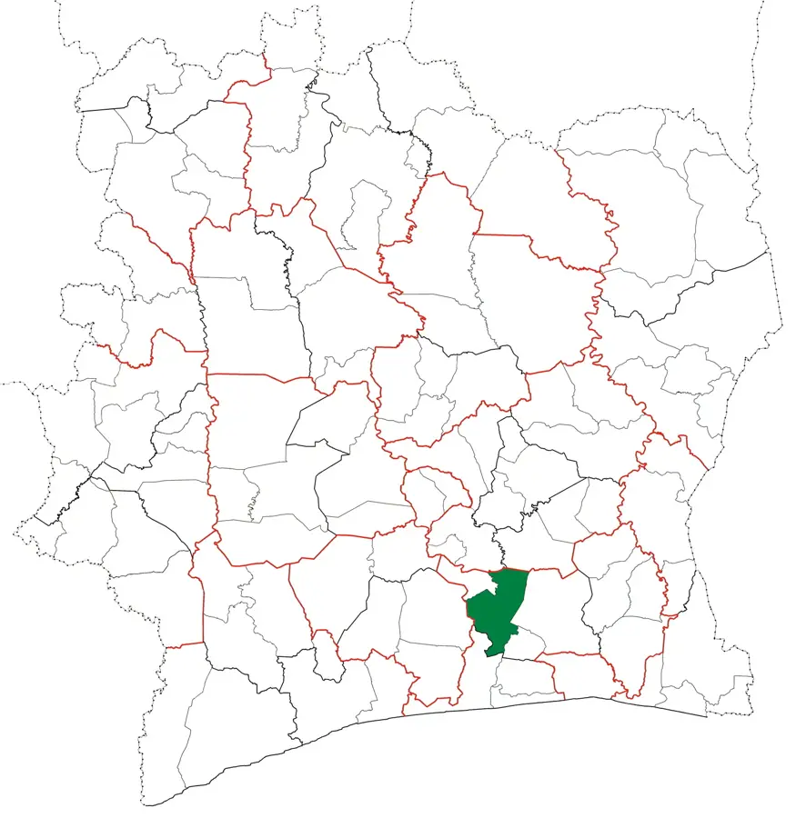
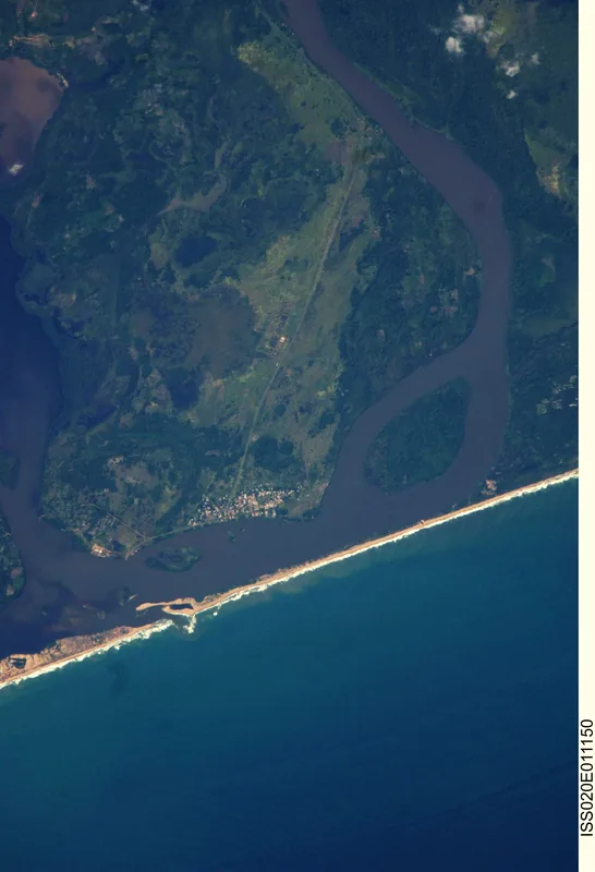
Ébrié Coastal Plain

Weather…
Water temperature…
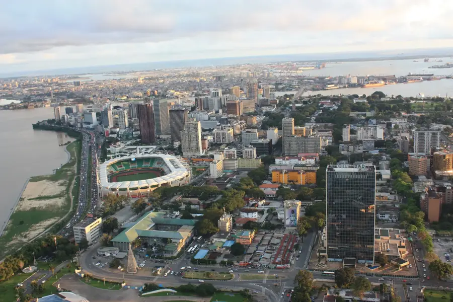
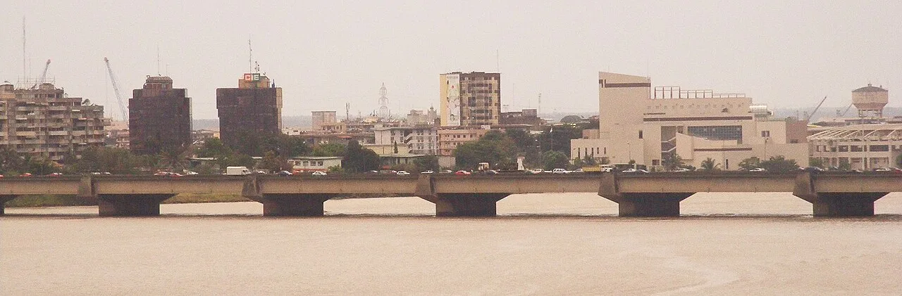
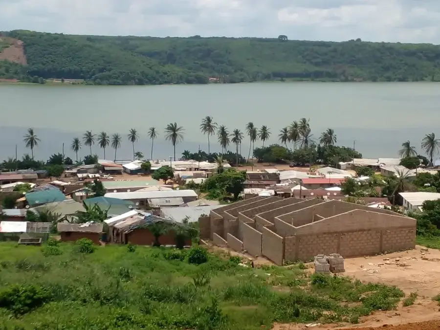
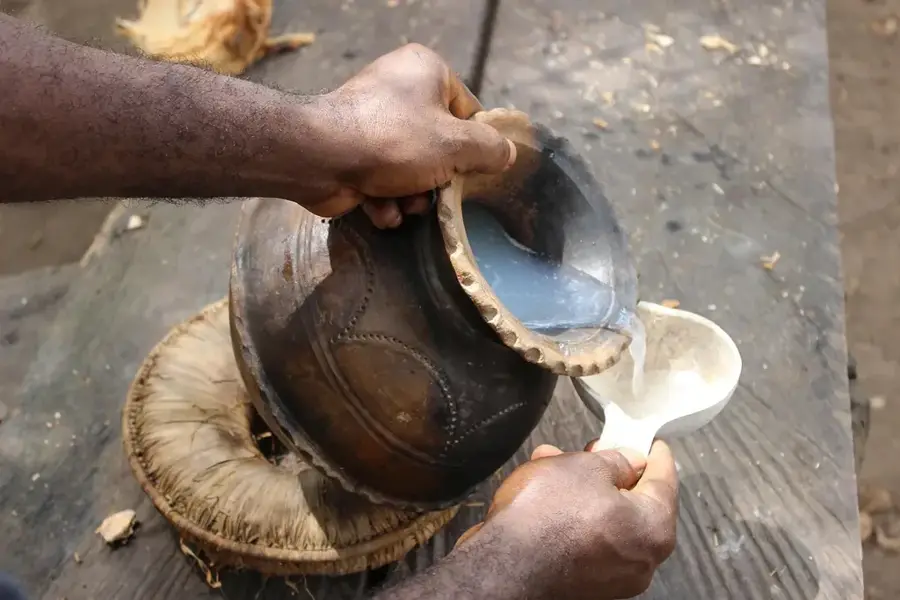
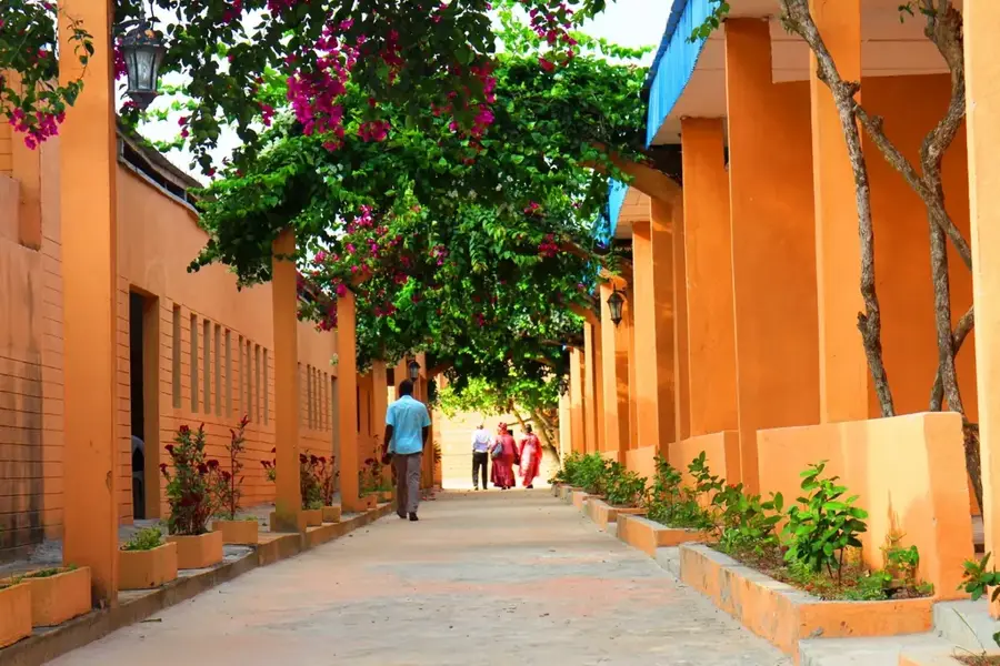
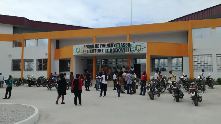
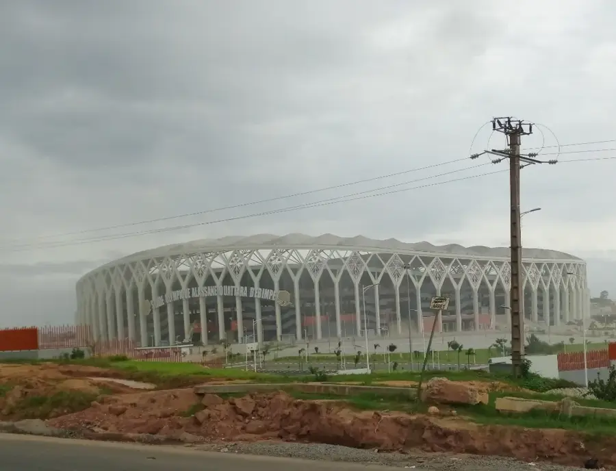
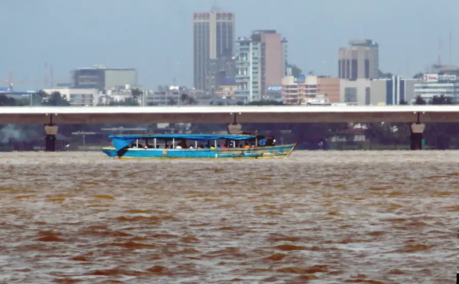
The Ébrié Coastal Plain stretches along the Gulf of Guinea in southern Ivory Coast, serving as the economic heartland of the nation. This low-lying sedimentary zone is defined by an intricate network of lagoons, barrier islands, and marshlands, with the Ébrié Lagoon being its most prominent geographic feature. Geologically, the plain consists of Tertiary sedimentary deposits that provide fertile soil for extensive coconut and oil palm plantations. The climate is equatorial, characterized by high humidity and two distinct rainy seasons, which support the growth of dense mangrove forests along the waterways. The metropolis of Abidjan is located here, its rapid urban development having been fundamentally shaped by the plain's unique topography. Historically, the coastal plain was a critical interface for early trade between indigenous communities and European maritime explorers. Today, equipped with major ports and industrial zones, it remains the primary engine for agricultural exports and industrial imports.
- Location: Côte d’Ivoire
- Nearby: Dabou (14 km)
Best time to visit & climate
The most pleasant time to visit is Jan, Jul, Aug.
| Jan | Feb | Mar | Apr | May | Jun | Jul | Aug | Sep | Oct | Nov | Dec | |
|---|---|---|---|---|---|---|---|---|---|---|---|---|
| Avg °C | 27 | 28 | 28 | 27 | 27 | 26 | 25 | 25 | 25 | 26 | 27 | 27 |
| Rain mm | 25 | 61 | 120 | 146 | 187 | 236 | 89 | 47 | 95 | 163 | 106 | 48 |
📋 Practical info
Geography
Facts
- Most of the plain sits below 50 meters above sea level.
- Major hub for coconut and oil palm commercial farming.
- Primarily composed of sandy marine sedimentary deposits.
- Home to Abidjan, the largest economic hub in West Africa.
- Numerous lagoons protect the shoreline from ocean surf.
- Two rainy seasons ensure high annual precipitation levels.
Explore nearby
Notable places around
Route planner — Car & Motorhome
Where do you start? We build the route here, with stops and country notes along the way.
© OpenStreetMap contributors · OpenRouteService
Sights nearby
Frequently asked questions
What characterizes the Ébrié coastal plain?
Which cities are located in this plain?
Is the plain used for agriculture?
Are there nature reserves here?
How is the access to the sea?
Ébrié Coastal Plain: where is it located?
Ébrié Coastal Plain: when is the best time to visit?
Ébrié Coastal Plain: why is it worth visiting?

Nearby cities
History & landmarks
Nature
More places