Plizio Visual Lab
Pollino Massif
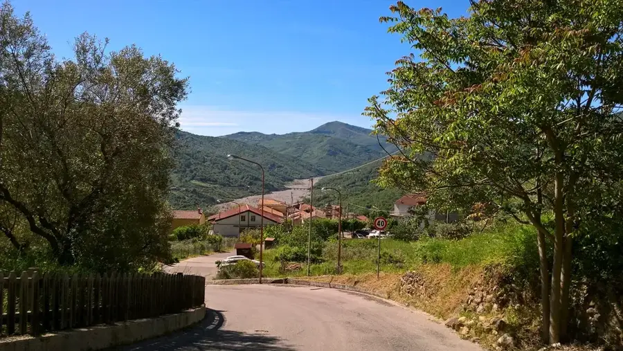
The Pollino Massif (Massiccio del Pollino) is a major mountain range in the southern Apennines, straddling the regions of Basilicata and Calabria. It is the core of the Pollino National Park, the largest national park in Italy, covering 1,925 km². The highest peaks are Monte Pollino (2,248 m) and Serra Dolcedorme (2,267 m). The geology is dominated by limestone and dolomite, heavily karstified, resulting in numerous caves, sinkholes, and karst springs. Vegetation includes extensive beech forests, black pine stands, and alpine grasslands. The massif is known for endemic plant species such as the Pollino birch (Betula pendula subsp. fontqueri) and the Loricato pine (Pinus leucodermis), a relict species from the last ice age. Wildlife includes wolves, wild boars, deer, and the rare lynx. Historically, the massif was a natural barrier and a refuge for various populations. Today, it is a paradise for hikers, climbers, and nature lovers.
- Location: Italy
- Top sights: Giardino degli Dei · Serra Dolcedorme · Serra delle Ciavole
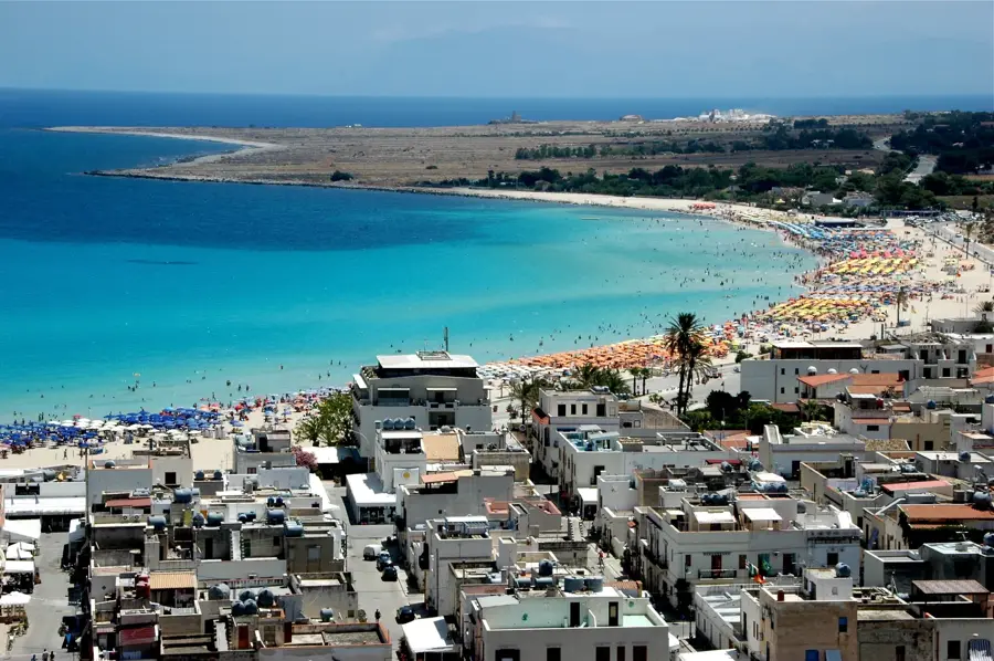
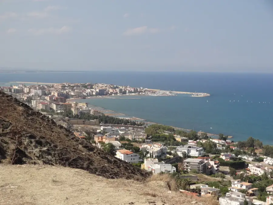
- Nearby: Trebisacce (28 km)
Best time to visit & climate
The most pleasant time to visit is Jun, Jul, Sep.
| Jan | Feb | Mar | Apr | May | Jun | Jul | Aug | Sep | Oct | Nov | Dec | |
|---|---|---|---|---|---|---|---|---|---|---|---|---|
| Avg °C | 6 | 6 | 9 | 12 | 16 | 22 | 25 | 25 | 20 | 16 | 11 | 7 |
| Rain mm | 111 | 94 | 85 | 62 | 49 | 35 | 32 | 35 | 72 | 85 | 124 | 105 |
📋 Practical info
Geography
Facts
- The Pollino Massif covers an area of approximately 1,925 km².
- The highest peak, Serra Dolcedorme, reaches 2,267 m.
- Monte Pollino is 2,248 m high.
- There are over 50 caves in the massif, including Grotta del Peschino.
- The Loricato pine can live to over 1,000 years.
- Pollino National Park was established in 1993.
Explore nearby
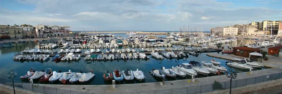
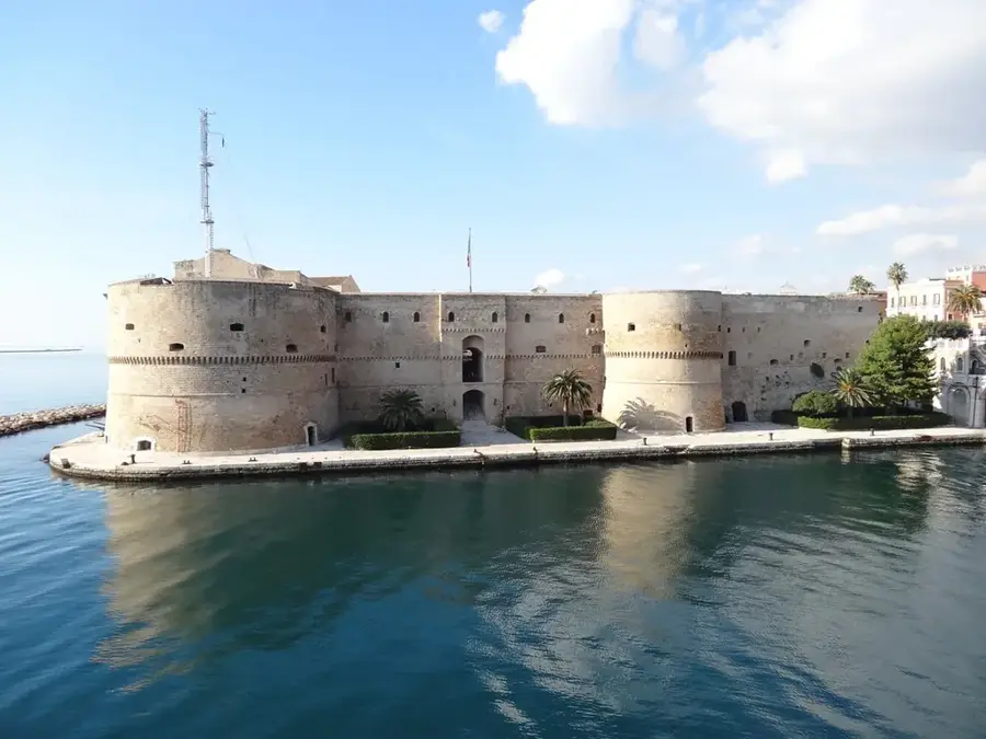
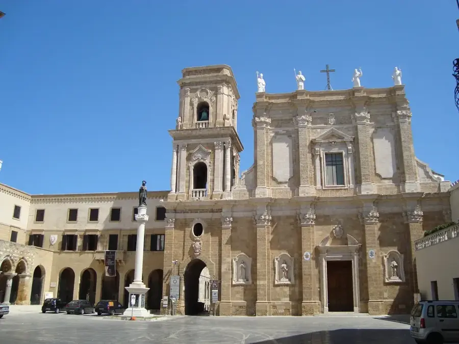
Notable places around
Route planner — Car & Motorhome
Where do you start? We build the route here, with stops and country notes along the way.
© OpenStreetMap contributors · OpenRouteService
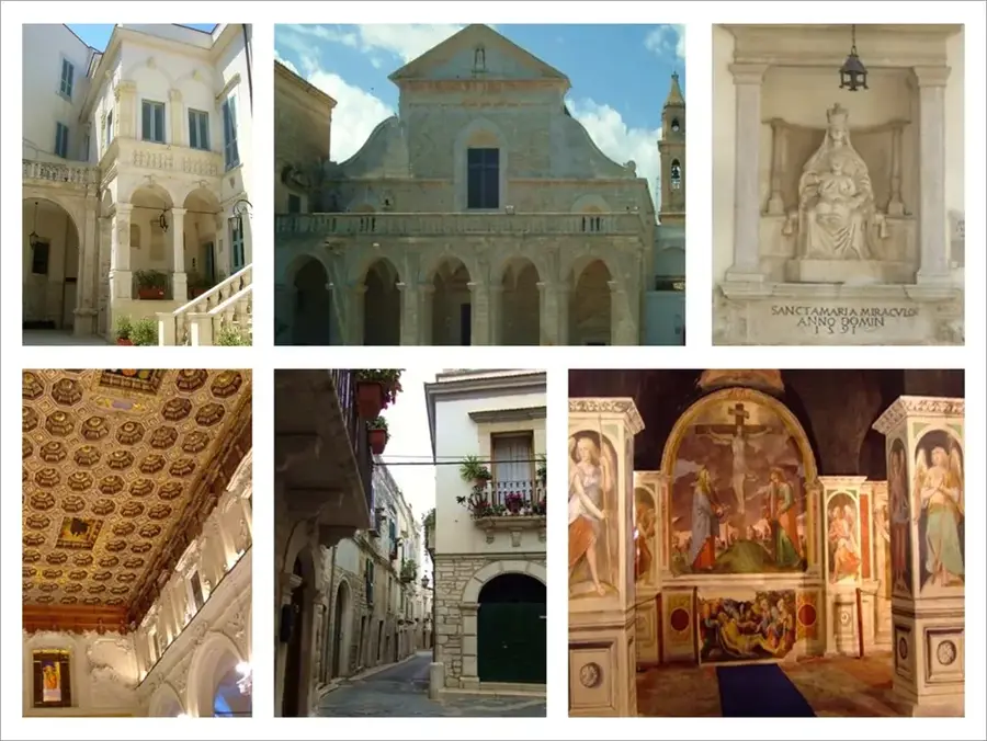
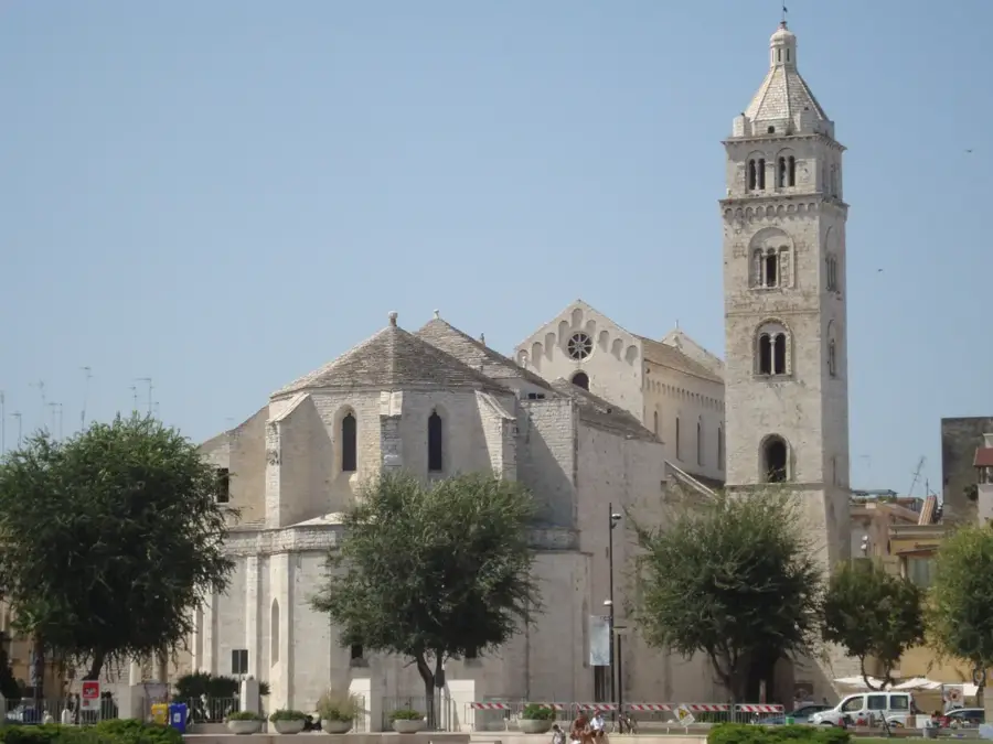
Sights in the town Pollino Massif (4)
Sights nearby
Frequently asked questions
What is the Pollino National Park?
Which tree species is unique there?
Between which regions is the massif located?
How high is the highest peak?
Can you go white-water rafting there?
Pollino Massif: where is it located?
Pollino Massif: what is there to see?
Pollino Massif: when is the best time to visit?
Pollino Massif: why is it worth visiting?

Nearby cities