Plizio Visual Lab
Pollino National Park
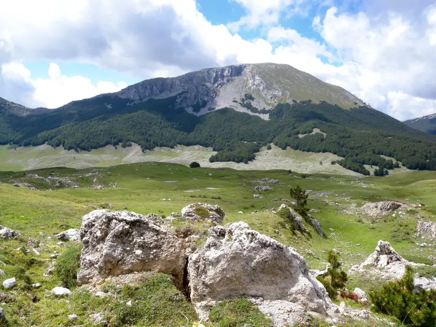
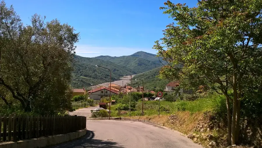
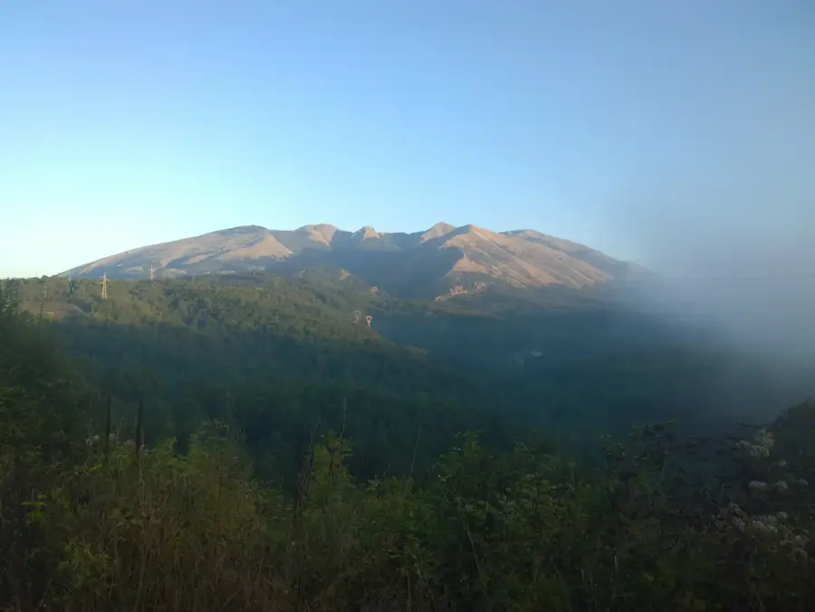
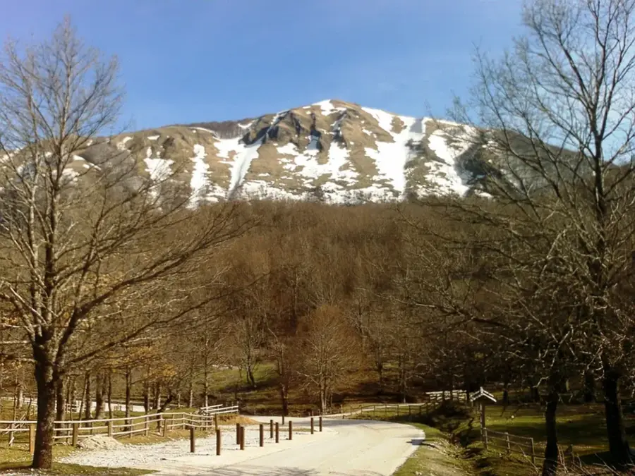
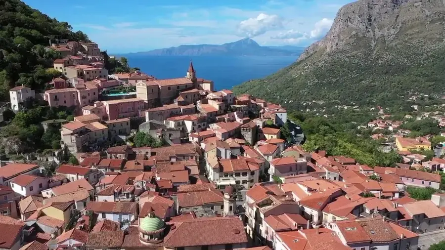
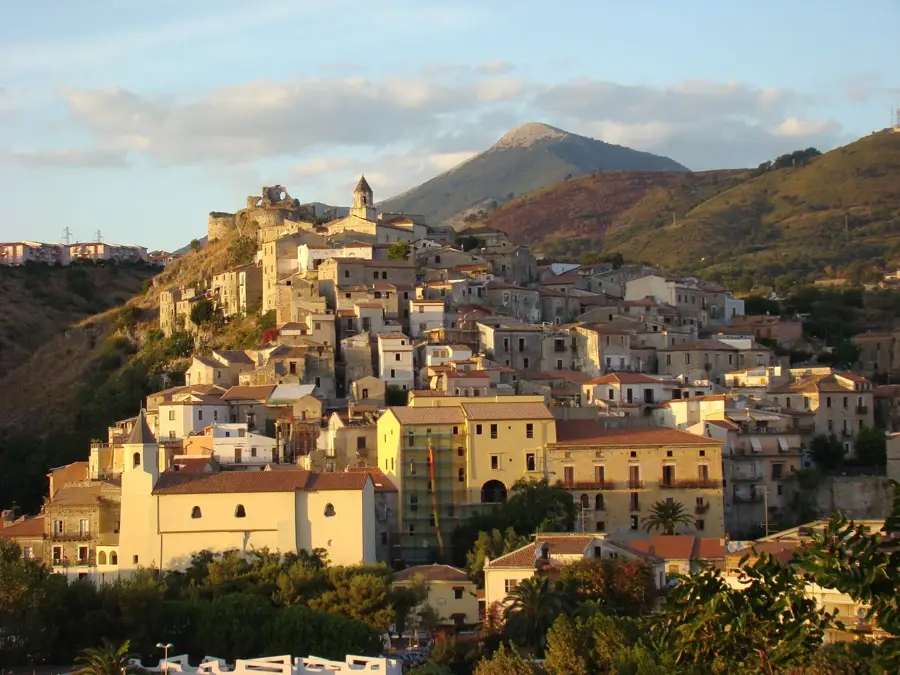
Pollino National Park is the largest protected area in Italy, covering nearly 193,000 hectares across the regions of Basilicata and Calabria. The Pollino Massif dominates the landscape, featuring some of the highest peaks in southern Italy, exceeding 2,200 meters in altitude. The park's emblem is the Bosnian pine (Pinus heldreichii), a rare glacial relic that clings to the highest rocky crags and can live for over a millennium. Its territory is characterized by dramatic geological features, including the deep Raganello Gorges, vast high-altitude plateaus, and intricate cave systems. In 2015, the park was officially added to the UNESCO Global Geoparks Network due to its exceptional geological significance. Beyond its natural wonders, the park preserves a rich cultural tapestry, including several 'Arbëreshë' villages inhabited by an ethnic Albanian minority that has maintained its language and customs since the 15th century. Archaeological sites like the Romito Cave contain Paleolithic engravings, including a famous 11,000-year-old depiction of a bull. Today, Pollino provides a vast wilderness for trekking, rafting, and mountaineering, representing one of the most authentic and untouched natural landscapes in the Mediterranean.
- Location: Italy
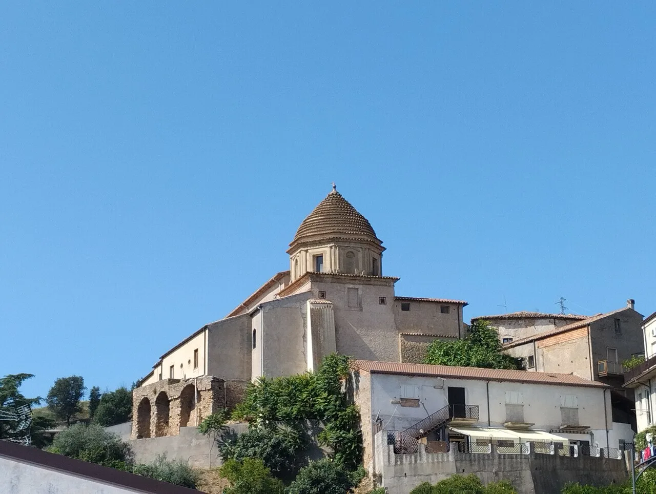
- Top sights: Museo della civiltà contadina · Fontana Gentilizia della famiglia Gioia · Viggianello - Nella lista I Borghi più belli d'Italia
- Nearby: Castrocucco (29 km)
Best time to visit & climate
The most pleasant time to visit is Jun, Jul, Sep.
| Jan | Feb | Mar | Apr | May | Jun | Jul | Aug | Sep | Oct | Nov | Dec | |
|---|---|---|---|---|---|---|---|---|---|---|---|---|
| Avg °C | 6 | 6 | 9 | 12 | 16 | 22 | 25 | 25 | 20 | 16 | 11 | 7 |
| Rain mm | 111 | 94 | 85 | 62 | 49 | 35 | 32 | 35 | 72 | 85 | 124 | 105 |
📋 Practical info
Geography
Facts
- Pollino is Italy's largest national park, spanning 192,565 hectares.
- The highest peak in the park and southern Apennines is Serra Dolcedorme at 2,267 meters.
- The 'Italus' pine tree in the park is scientifically dated to be over 1,230 years old.
- Pollino National Park was designated a UNESCO Global Geopark in 2015.
- The Romito Cave features a famous prehistoric rock engraving of a bull from the Upper Paleolithic.
- The park's territory is shared between 56 municipalities in Basilicata and Calabria.
Explore nearby
Notable places around
Route planner — Car & Motorhome
Where do you start? We build the route here, with stops and country notes along the way.
© OpenStreetMap contributors · OpenRouteService
Sights in the town Pollino National Park (3)
Sights nearby
Frequently asked questions
What is the symbol of the park?
How big is the park?
Can you go rafting?
Which villages are worth visiting?
Are the trails well marked?
Pollino National Park: where is it located?
Pollino National Park: what is there to see?
Pollino National Park: when is the best time to visit?
Pollino National Park: why is it worth visiting?

Nearby cities

History & landmarks
More places