Plizio Visual Lab
Monte Sirino
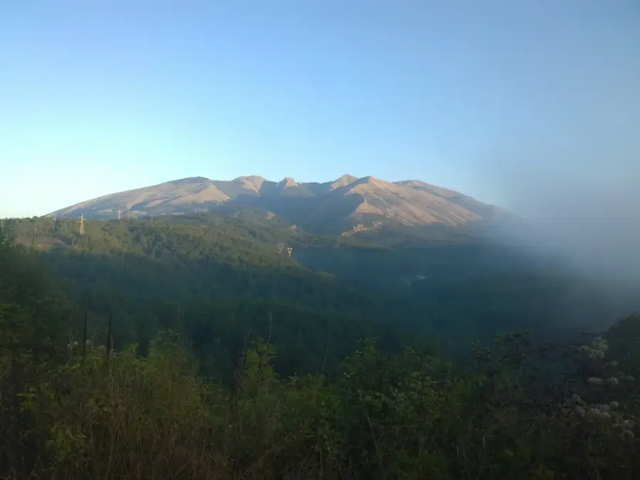
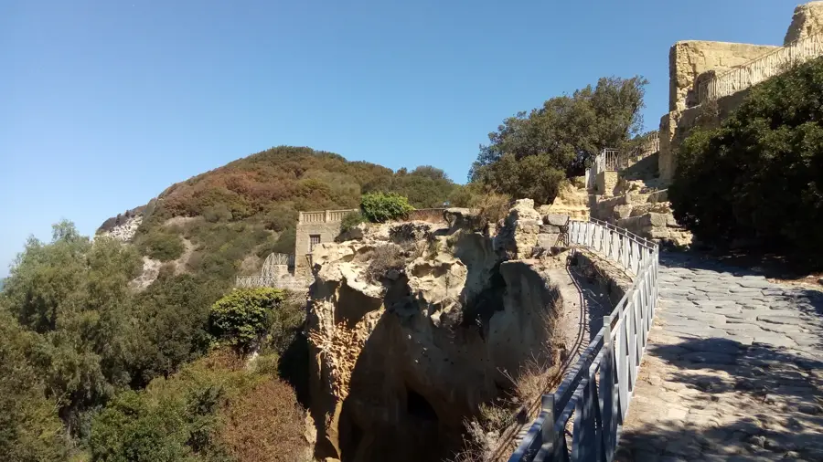
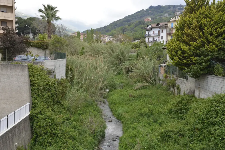
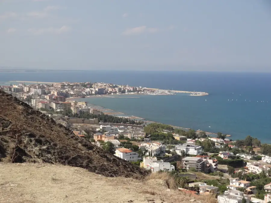
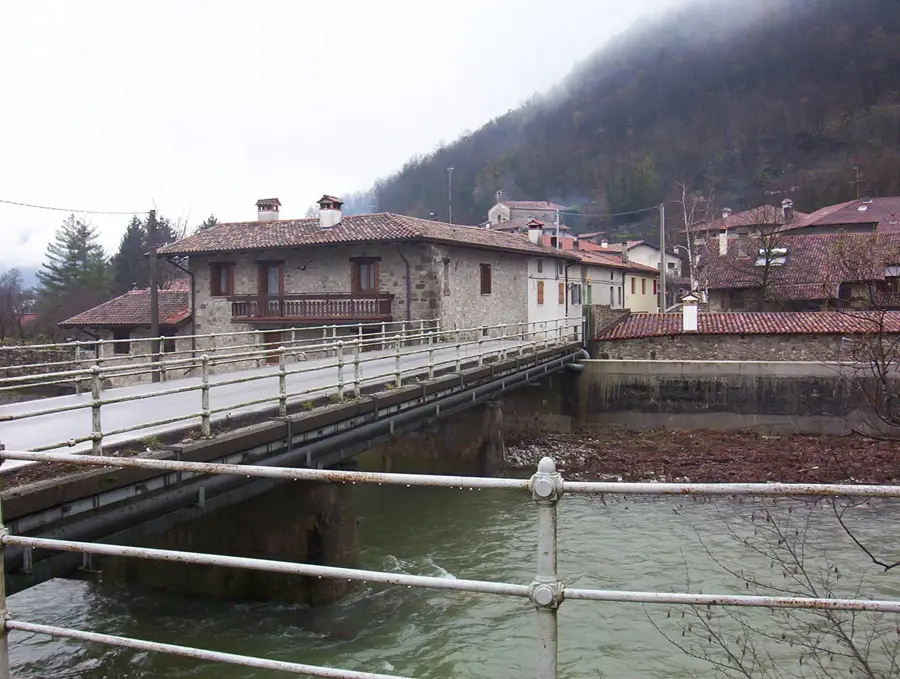
Monte Sirino is a prominent mountain in the Pollino National Park, Basilicata, southern Italy. At 2,005 m, it is one of the highest peaks in the region and a popular destination for hikers and climbers. The mountain is part of the southern Apennines and is composed mainly of limestone and dolomite. Its slopes are covered by beech and black pine forests, while the higher elevations feature alpine grasslands. Monte Sirino is known for its rich biodiversity, including rare bird species such as the golden eagle and peregrine falcon. Several small lakes, like Lago Laudemio, are found nearby, formed by karst processes. Historically, the mountain was a strategic point used by the Lucanians. Today, it is an important winter tourism hub, with ski resorts such as Sellata-Pierfaone and Arioso. Surrounding villages like Latronico and Moliterno preserve traditional Lucanian architecture and cuisine.
- Location: Italy
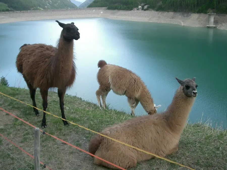
- Top sights: Micromondo, parco tematico sulla geologia · Lago Laudemio
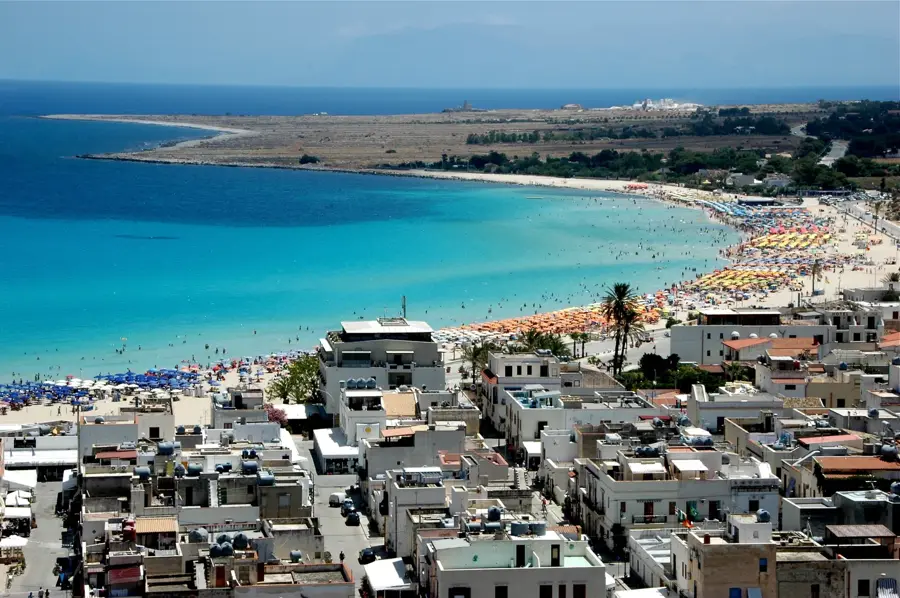
- Nearby: Maratea (16 km)
Best time to visit & climate
The most pleasant time to visit is Jun, Jul, Sep.
| Jan | Feb | Mar | Apr | May | Jun | Jul | Aug | Sep | Oct | Nov | Dec | |
|---|---|---|---|---|---|---|---|---|---|---|---|---|
| Avg °C | 6 | 6 | 9 | 12 | 16 | 22 | 25 | 25 | 20 | 16 | 11 | 7 |
| Rain mm | 111 | 94 | 85 | 62 | 49 | 35 | 32 | 35 | 72 | 85 | 124 | 105 |
📋 Practical info
Geography
Facts
- Monte Sirino has an elevation of 2,005 m above sea level.
- It is located within the Pollino National Park, which covers an area of 1,925 km².
- The highest peak of the Sirino massif is Monte Sirino Grande at 2,005 m.
- The average annual temperature on the summit is about 5 °C.
- The Sellata-Pierfaone ski resort is situated between 1,400 and 1,800 m altitude.
- The municipality of Latronico has about 4,000 inhabitants (2023).
Explore nearby
Notable places around
Route planner — Car & Motorhome
Where do you start? We build the route here, with stops and country notes along the way.
© OpenStreetMap contributors · OpenRouteService
Sights in the town Monte Sirino (2)
Sights nearby
Frequently asked questions
In which region is Monte Sirino located?
Is there a lake there?
Can you ski on Monte Sirino?
How high is the highest peak?
What can you do there in summer?
Monte Sirino: where is it located?
Monte Sirino: what is there to see?
Monte Sirino: when is the best time to visit?
Monte Sirino: why is it worth visiting?

Nearby cities