De André canta De André - Best of Tour
Cristiano De André honors his father Fabrizio's legacy with an emotional concert at Villa Figoli.
Plizio Visual Lab
Weather…
Water temperature…
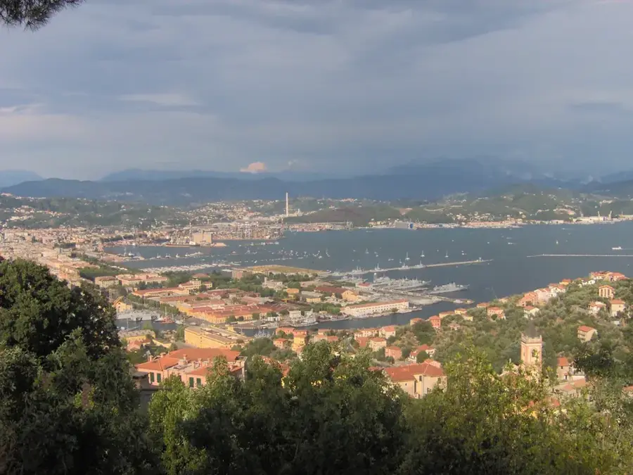
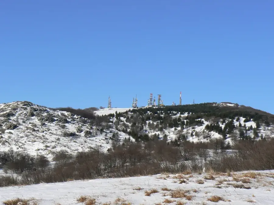
Monte Beigua, at 1,287 meters, is the highest peak of the namesake massif in the Ligurian Apennines, located near the coasts of Savona and Genoa. It is the centerpiece of the Beigua UNESCO Global Geopark, a region of extraordinary geological significance due to its ophiolite deposits. These rocks provide evidence of the ancient Ligurian-Piedmontese Ocean that existed millions of years ago. Its proximity to the sea creates a unique microclimate, fostering dense cloud forests and distinctive flora. While the summit is characterized by numerous telecommunication towers, it also gives a spectacular panoramic view stretching from the Maritime Alps to Tuscany and, on very clear days, as far as Corsica. The area is a vital site for bird migration, particularly for birds of prey that utilize the thermals over the massif. Historically, Monte Beigua was a sacred site for the ancient Ligurians, evidenced by archaeological finds of rock carvings.
The most pleasant time to visit is Jun–Aug.
| Jan | Feb | Mar | Apr | May | Jun | Jul | Aug | Sep | Oct | Nov | Dec | |
|---|---|---|---|---|---|---|---|---|---|---|---|---|
| Avg °C | 4 | 5 | 8 | 12 | 16 | 20 | 23 | 23 | 19 | 14 | 9 | 5 |
| Rain mm | 56 | 60 | 71 | 71 | 67 | 47 | 34 | 49 | 61 | 97 | 145 | 79 |
Notable places around
Where do you start? We build the route here, with stops and country notes along the way.
© OpenStreetMap contributors · OpenRouteService