Plizio Visual Lab
Monte Amiata
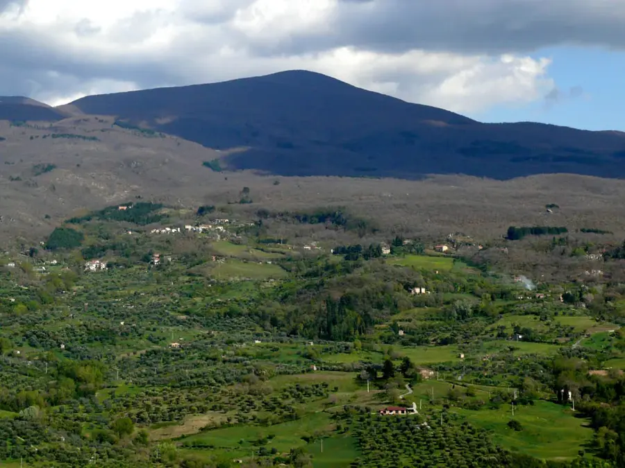
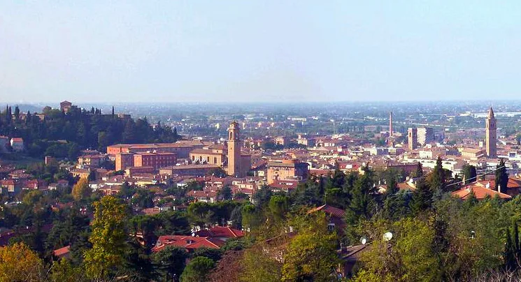
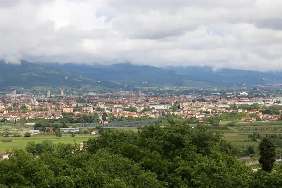
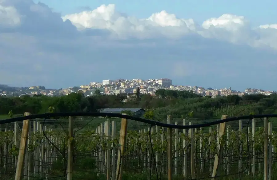
Monte Amiata is an extinct lava dome volcano in southern Tuscany, standing at 1738 meters and dominating the surrounding landscape. Formed during the Pleistocene epoch between 300,000 and 200,000 years ago, it is the highest peak in the Tuscan anti-Apennine range. The mountain is blanketed by dense forests of beech and chestnut trees, constituting one of the largest wooded areas in Italy. Historically, it was world-renowned for its mercury mines, specifically for the extraction of cinnabar, which was a vital industry until the late 20th century. Though the volcano is dormant, its geothermal energy remains active, feeding numerous famous thermal baths in the region, such as Bagni San Filippo and Saturnia. The summit provides a panoramic view stretching across the Val d'Orcia to the Tyrrhenian Sea. Nowadays, it serves as a destination for winter sports and summer trekking, blending industrial history with natural beauty.
- Location: Italy
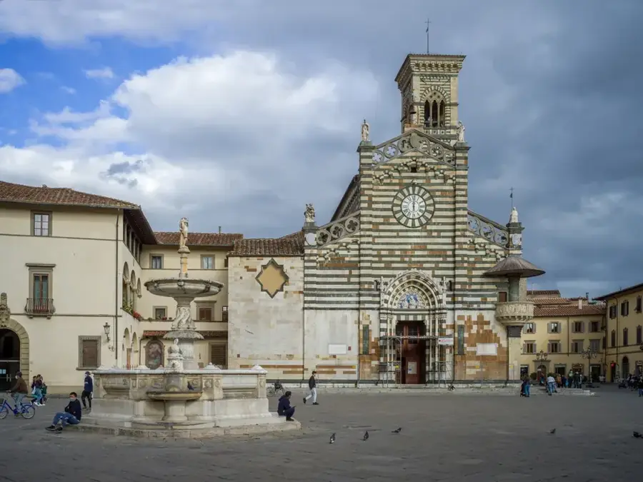
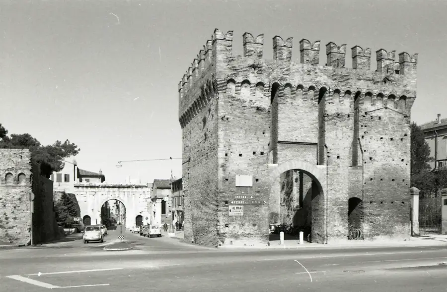
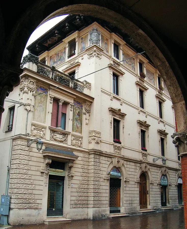
- Top sights: Museo d'Arte Sacra Don Roberto Corvini · Parco Museo Minerario di Abbadia San Salvatore · Mount Amiata
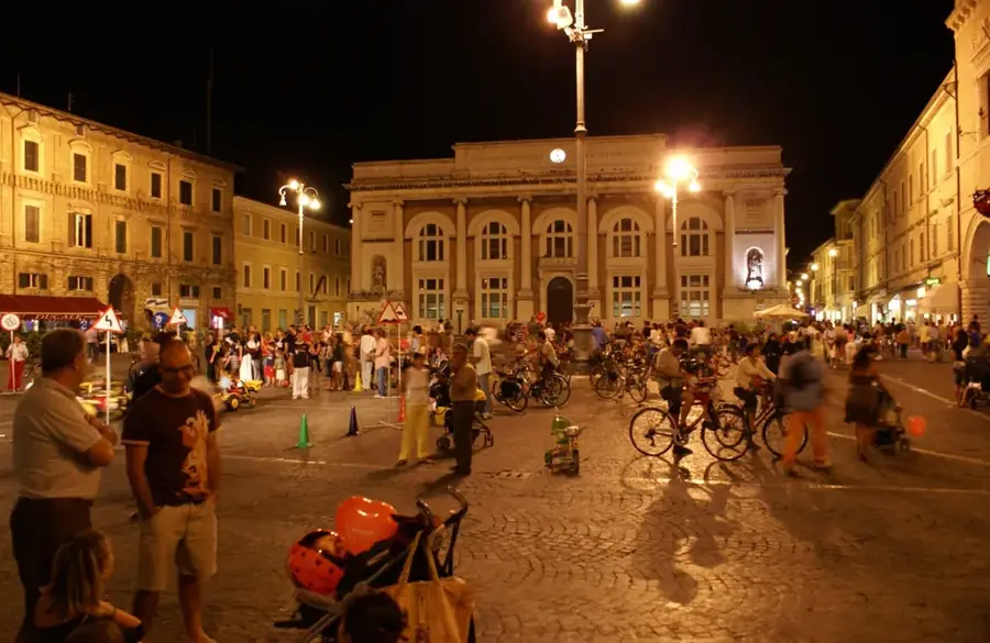
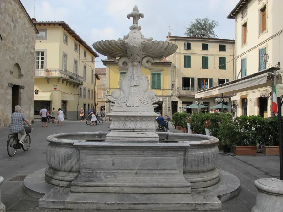
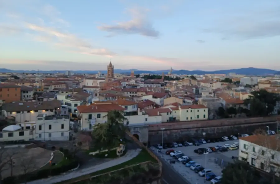
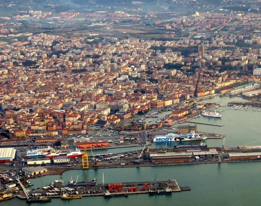
- Nearby: Bagno Vignoni (15 km)
Best time to visit & climate
The most pleasant time to visit is Jun, Jul, Sep.
| Jan | Feb | Mar | Apr | May | Jun | Jul | Aug | Sep | Oct | Nov | Dec | |
|---|---|---|---|---|---|---|---|---|---|---|---|---|
| Avg °C | 5 | 6 | 9 | 13 | 17 | 22 | 25 | 25 | 20 | 16 | 11 | 7 |
| Rain mm | 57 | 62 | 62 | 51 | 55 | 34 | 28 | 31 | 68 | 77 | 103 | 80 |
📋 Practical info
Geography
Facts
- Maximum elevation of 1738 meters
- Extinct lava dome volcano
- Once a leading global mercury producer
- Highest peak in the Tuscan anti-Apennines
- Home to extensive ancient beech forests
- Powers geothermal energy in the region
Explore nearby
Notable places around
Route planner — Car & Motorhome
Where do you start? We build the route here, with stops and country notes along the way.
© OpenStreetMap contributors · OpenRouteService
Sights in the town Monte Amiata (7)
Sights nearby
Frequently asked questions
Is Monte Amiata a volcano?
What can you do there in winter?
What trees grow there?
Are there thermal springs there?
How high is Monte Amiata?
Monte Amiata: where is it located?
Monte Amiata: what is there to see?
Monte Amiata: when is the best time to visit?
Monte Amiata: why is it worth visiting?

Nearby cities