Plizio Visual Lab
Beit Guvrin Caves
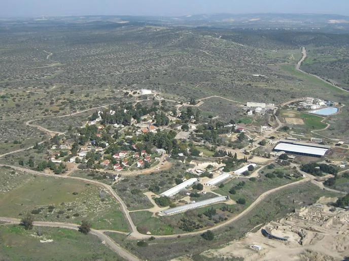
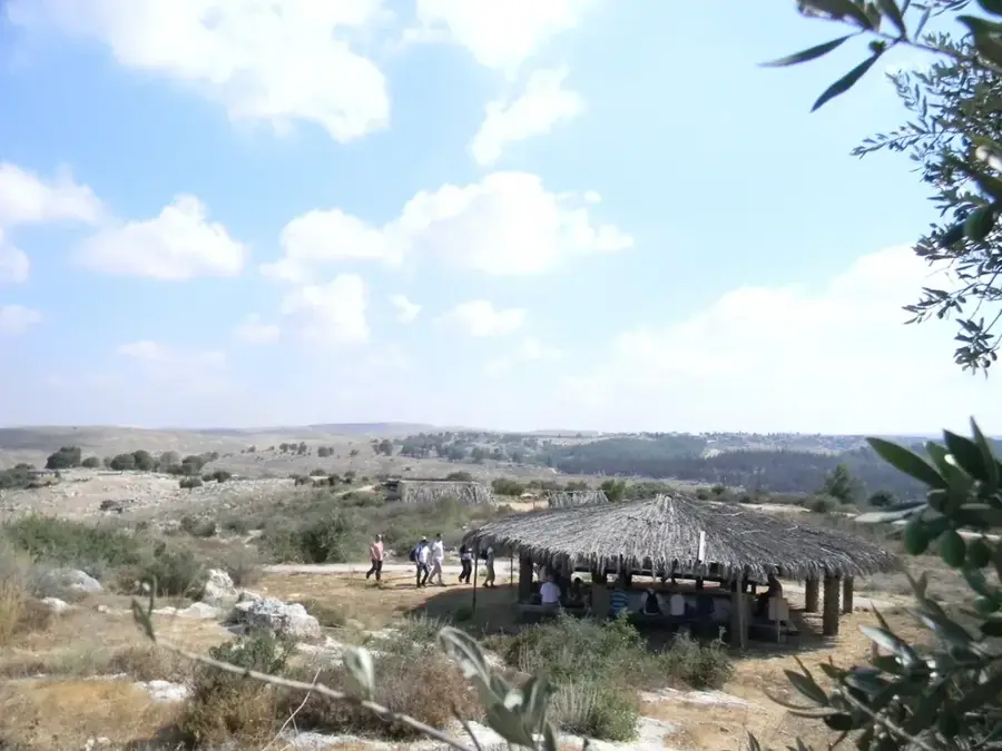
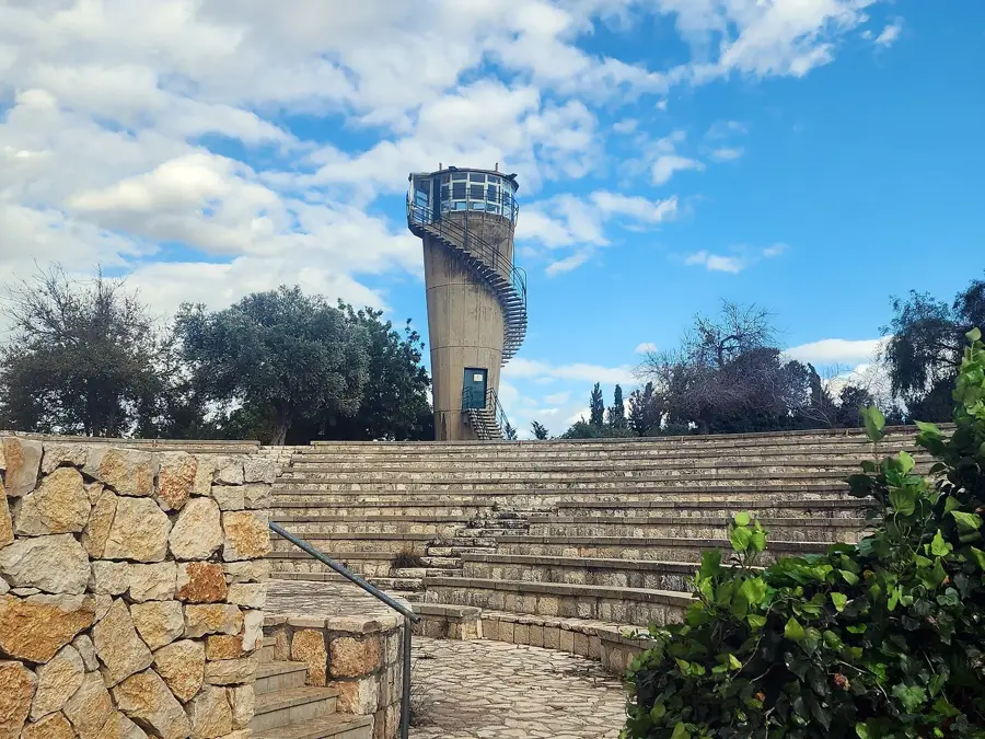
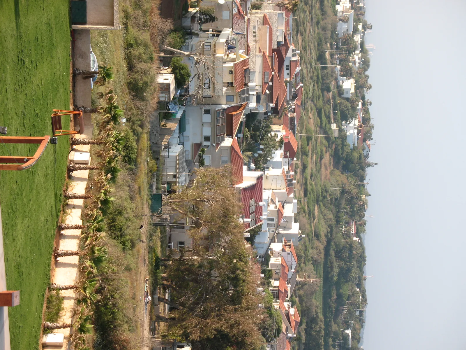
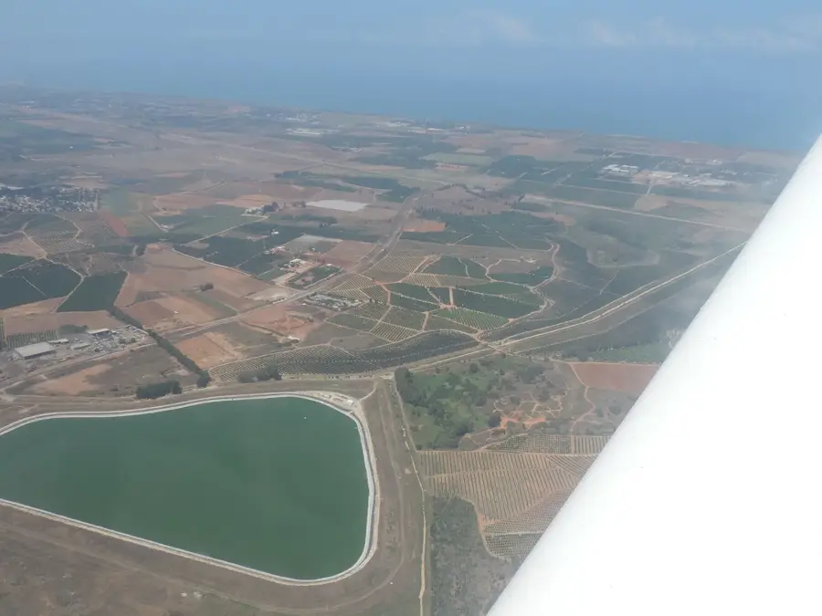
Beit Guvrin-Maresha National Park, located in the Judean Lowlands, is an extraordinary archaeological site famous for its vast network of thousands of man-made caves. The ancient city of Maresha flourished during the Iron Age and Hellenistic periods, while nearby Beit Guvrin rose to prominence under Roman and Byzantine rule. For centuries, inhabitants quarried the soft chalk rock to produce building materials, resulting in the creation of massive bell-shaped caves, columbaria (dove-cotes), cisterns, and olive oil presses. In 2014, UNESCO designated the park as a World Heritage Site, recognizing it as a 'city under a city' and a supreme example of subterranean land use over 2,000 years. Key highlights include the impressive Bell Caves, some reaching heights of 50 feet, and the exceptionally well-preserved Roman amphitheater that once seated 3,500 spectators. The underground complexes were connected by tunnels, forming a labyrinthine world that served as storage, shelters, and burial sites. Today, the park is a popular destination for tourists who can participate in the 'Dig for a Day' program, helping archaeologists uncover artifacts from the Idumean and Hellenistic eras. Beit Guvrin-Maresha provides a profound look at ancient urban planning and the innovative ways human societies integrated their daily lives with the geological landscape of the Holy Land.
- Location: Israel
- Top sights: Tel Burna · Tel `Eter · Khirbat Umm el Qutn
- Nearby: Beit Shemesh (17 km)
Best time to visit & climate
The most pleasant time to visit is Apr, May, Oct.
| Jan | Feb | Mar | Apr | May | Jun | Jul | Aug | Sep | Oct | Nov | Dec | |
|---|---|---|---|---|---|---|---|---|---|---|---|---|
| Avg °C | 10 | 12 | 15 | 18 | 22 | 25 | 27 | 27 | 25 | 22 | 17 | 12 |
| Rain mm | 59 | 42 | 27 | 15 | 4 | 0 | 1 | 0 | 2 | 12 | 31 | 48 |
📋 Practical info
Geography
Facts
- The site was inscribed as a UNESCO World Heritage Site in 2014.
- There are approximately 80 bell-shaped caves located within the park.
- The Roman amphitheater had an original seating capacity of 3,500.
- Over 20 underground olive oil presses have been excavated at Maresha.
- Some of the bell caves reach a height of 15 meters (50 feet).
- The site includes a well-preserved 12th-century Crusader church (Saint Anne).
Explore nearby
Notable places around
Route planner — Car & Motorhome
Where do you start? We build the route here, with stops and country notes along the way.
© OpenStreetMap contributors · OpenRouteService
Sights in the town Beit Guvrin Caves (6)
Sights nearby
Frequently asked questions
What makes Beit Guvrin unique?
Can one see the bell caves?
Is it family-friendly?
How long does the visit take?
Do you need a flashlight?
Beit Guvrin Caves: where is it located?
Beit Guvrin Caves: what is there to see?
Beit Guvrin Caves: when is the best time to visit?
Beit Guvrin Caves: why is it worth visiting?

Nearby cities
Nature
More places