Plizio Visual Lab
Tel Lachish
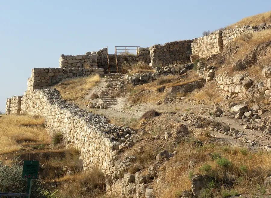
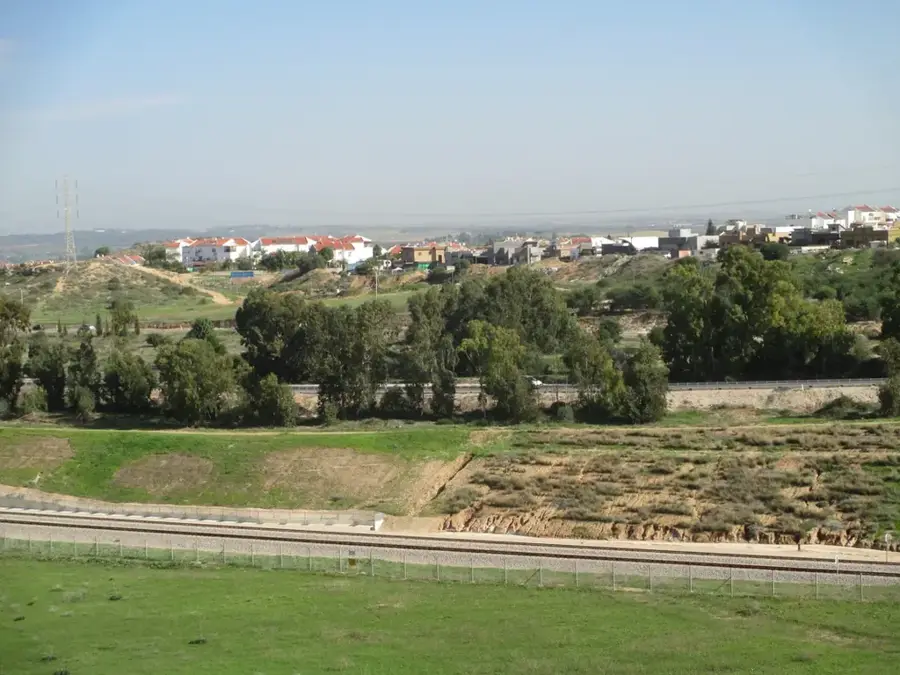
Tel Lachish was the second most important city in the ancient Kingdom of Judah after Jerusalem, located strategically in the Shephelah region. It functioned as a major fortress controlling the approach from the coastal plain to the Judean hills. Its history is defined by the massive Assyrian siege led by Sennacherib in 701 BCE, an event documented in detail on the famous Lachish Reliefs found in the palace of Nineveh. Archaeologists have uncovered the only preserved Assyrian siege ramp in the Middle East at the site, along with the massive Israelite city gate. Inside the gatehouse, the 'Lachish Letters' were discovered, ostraca written in ancient Hebrew that describe the desperate situation before the Babylonian conquest in 586 BCE. Today, the site is a national park, providing invaluable insights into Iron Age military engineering, ancient administrative structures, and the historical accuracy of biblical accounts.
- Location: Israel
- Top sights: Tel Kelekh · Tel Haraqim · Wine press
- Nearby: Rahat (19 km)
Best time to visit & climate
The most pleasant time to visit is Apr, May, Oct.
| Jan | Feb | Mar | Apr | May | Jun | Jul | Aug | Sep | Oct | Nov | Dec | |
|---|---|---|---|---|---|---|---|---|---|---|---|---|
| Avg °C | 10 | 12 | 15 | 18 | 22 | 25 | 27 | 27 | 25 | 22 | 17 | 12 |
| Rain mm | 59 | 42 | 27 | 15 | 4 | 0 | 1 | 0 | 2 | 12 | 31 | 48 |
📋 Practical info
Geography
Facts
- The Lachish Reliefs in Nineveh depict the 701 BCE siege in detail
- Discovery of the 'Lachish Letters', ancient Hebrew ostraca from 586 BCE
- Site of the only preserved Assyrian siege ramp in the Middle East
- The city was completely destroyed by the Babylonians in 586 BCE
- Features the largest Iron Age Israelite city gate discovered to date
- The mound covers 31 acres and sits 40 meters above the surrounding valley
Explore nearby
Notable places around
Route planner — Car & Motorhome
Where do you start? We build the route here, with stops and country notes along the way.
© OpenStreetMap contributors · OpenRouteService
Sights in the town Tel Lachish (9)
Sights nearby
Frequently asked questions
What is the historical significance of Tel Lachish?
Are there ruins to visit?
How long does a tour take?
Is the place family-friendly?
When is the best time to visit?
Tel Lachish: where is it located?
Tel Lachish: what is there to see?
Tel Lachish: when is the best time to visit?
Tel Lachish: why is it worth visiting?

Nearby cities
History & landmarks
Nature
More places