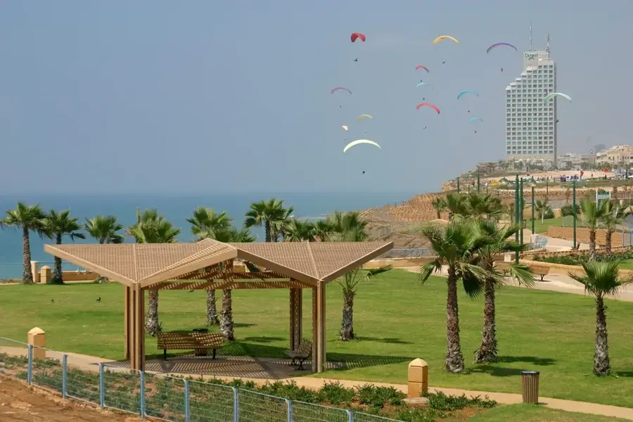
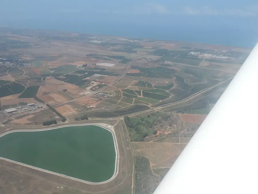
Extreme israel flying ATV📍 landmark
Outdoor center offering motorized paragliding flights over the Sharon plain.
🌐 xn----zhcb4afbwe7a0dnem.co.il🕒 Sa-Su 07:00-10:00; Mo-Fr 09:00-18:00
Plizio Visual Lab
Weather…
Water temperature…
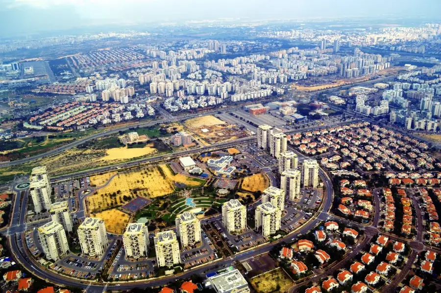
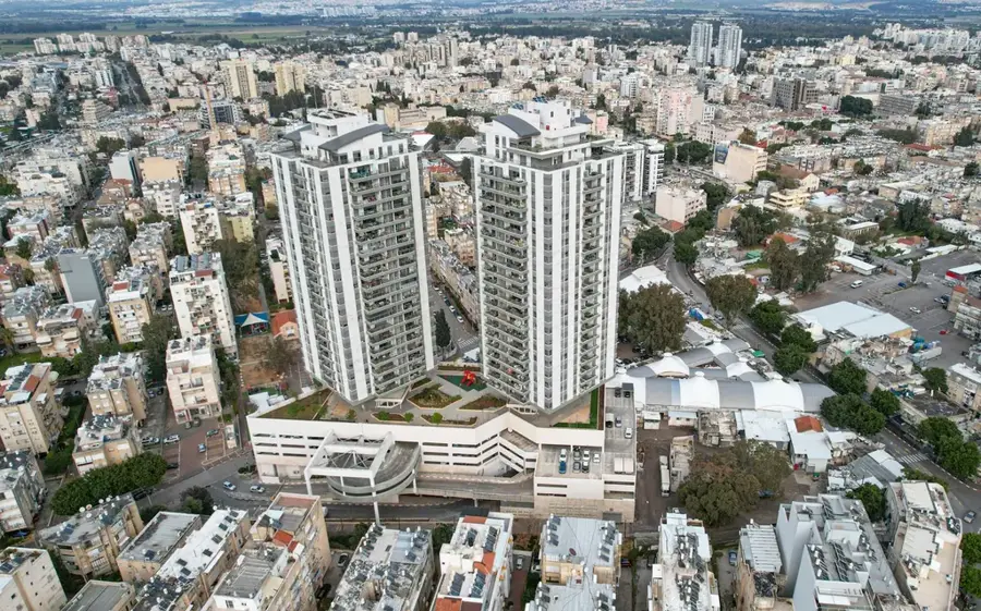
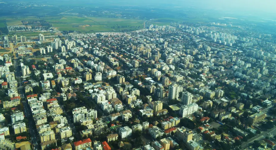
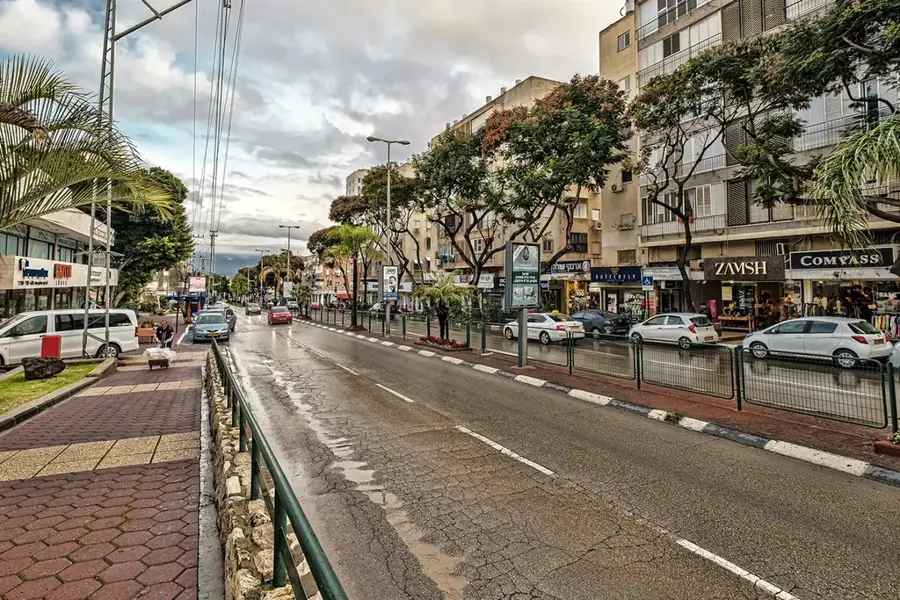
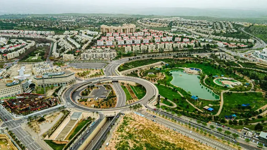
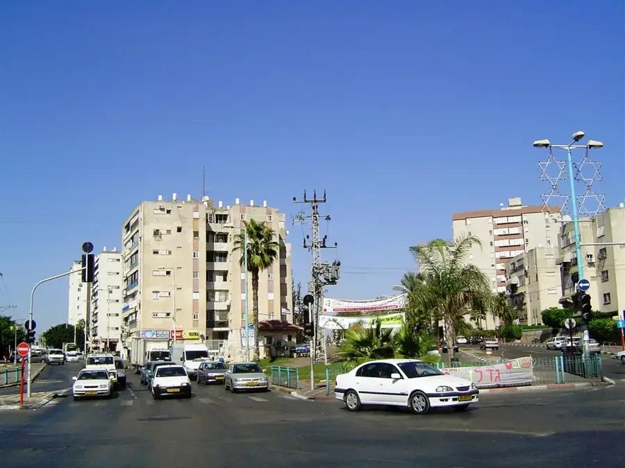
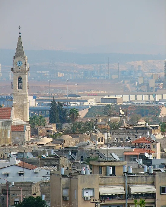
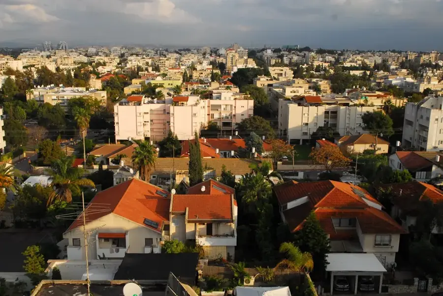
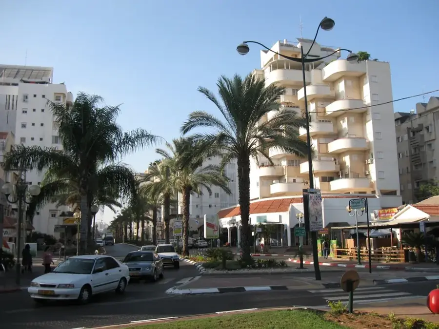
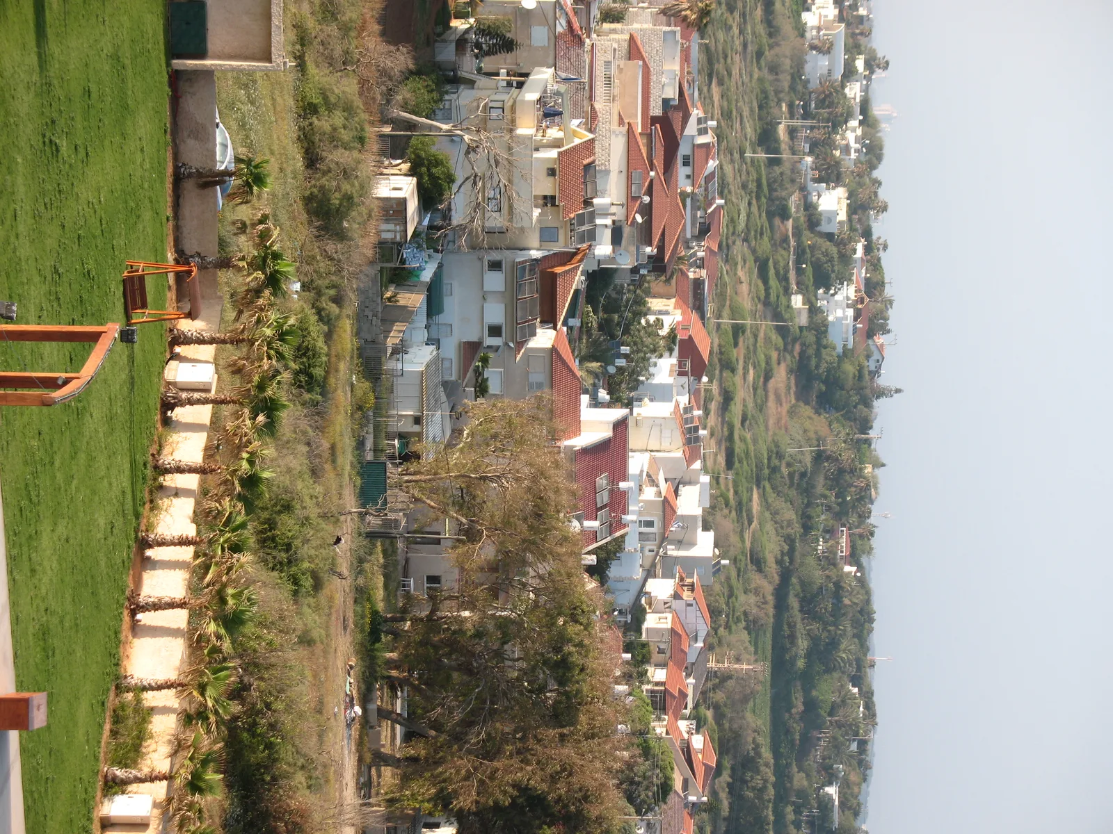
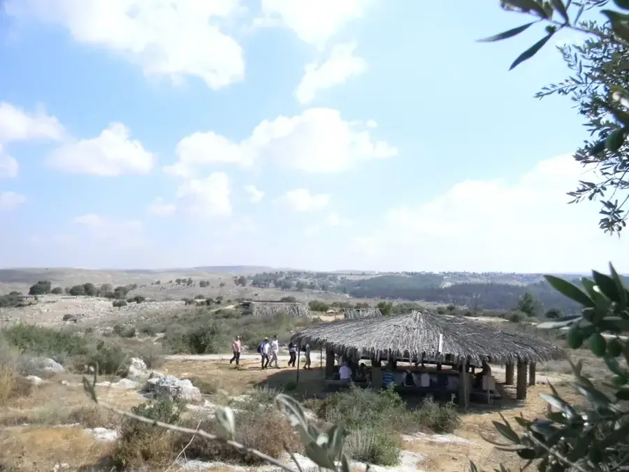
The Sharon Plain is the central section of Israel's coastal plain, bounded by the Mediterranean Sea to the west and the Samarian Hills to the east. It stretches roughly 50 kilometers from the Yarkon River near Tel Aviv in the south to Mount Carmel in the north. Historically, the area was known in biblical times for its dense oak forests and extensive marshes, which limited large-scale settlement for centuries. Major transformation occurred during the late 19th and early 20th centuries when Zionist pioneers drained the swamps, turning the Sharon into the country's premier agricultural region. The plain became world-famous for its citrus groves, particularly the Jaffa oranges that became a symbol of Israeli export success. Today, the Sharon Plain is the most densely populated region of Israel, forming the core of its economic and high-tech sectors with cities like Netanya, Herzliya, and Kfar Saba. Despite rapid urbanization, the region maintains vital natural habitats, such as the Alexander River, famous for its population of rare softshell turtles. The Sharon thus represents a unique blend of ancient landscapes, agricultural heritage, and cutting-edge urban development.
The most pleasant time to visit is May, Jun, Oct.
| Jan | Feb | Mar | Apr | May | Jun | Jul | Aug | Sep | Oct | Nov | Dec | |
|---|---|---|---|---|---|---|---|---|---|---|---|---|
| Avg °C | 13 | 13 | 15 | 18 | 22 | 25 | 27 | 27 | 26 | 24 | 19 | 15 |
| Rain mm | 118 | 88 | 47 | 23 | 7 | 1 | 1 | 1 | 2 | 18 | 57 | 104 |
Notable places around
Where do you start? We build the route here, with stops and country notes along the way.
© OpenStreetMap contributors · OpenRouteService
Outdoor center offering motorized paragliding flights over the Sharon plain.