Plizio Visual Lab
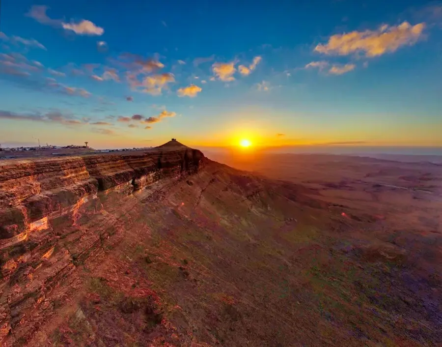
Mount Karkom
Weather…
Water temperature…
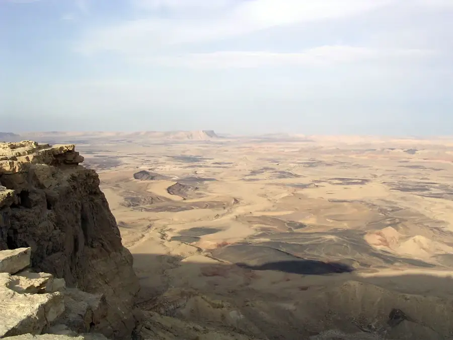
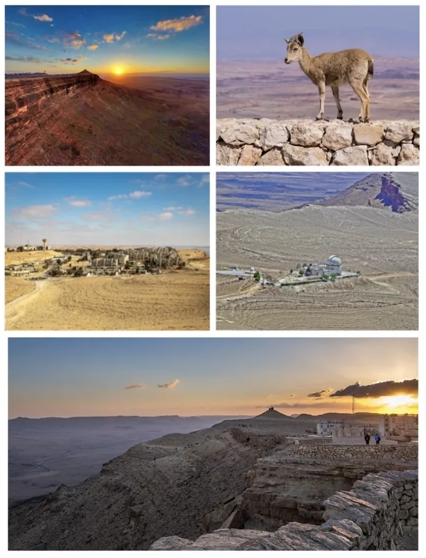
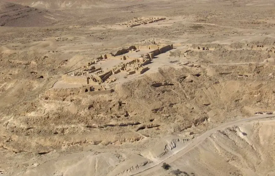
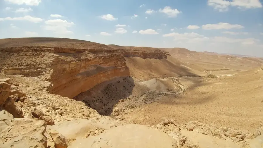
Mount Karkom is a prominent flat-topped mountain in the southwestern Negev Desert of Israel, reaching an elevation of 847 meters above sea level. Located in a remote region near the Egyptian border, the mountain is renowned for its extraordinary density of archaeological remains. Over 40,000 rock engravings (petroglyphs), along with numerous altars and cultic sites, have been discovered on its plateau and slopes. Archaeologist Emmanuel Anati proposed the controversial theory that Mount Karkom is the biblical Mount Sinai, where Moses received the Ten Commandments. The majority of the finds date back to the Early Bronze Age, suggesting a long-standing sacred significance for nomadic peoples in the region. Today, the mountain is part of a strictly protected nature reserve, with limited access to ensure the preservation of its delicate historical and archaeological sites.
- Location: Israel
- Top sights: Har Halamish · tumulus · Har Shazar
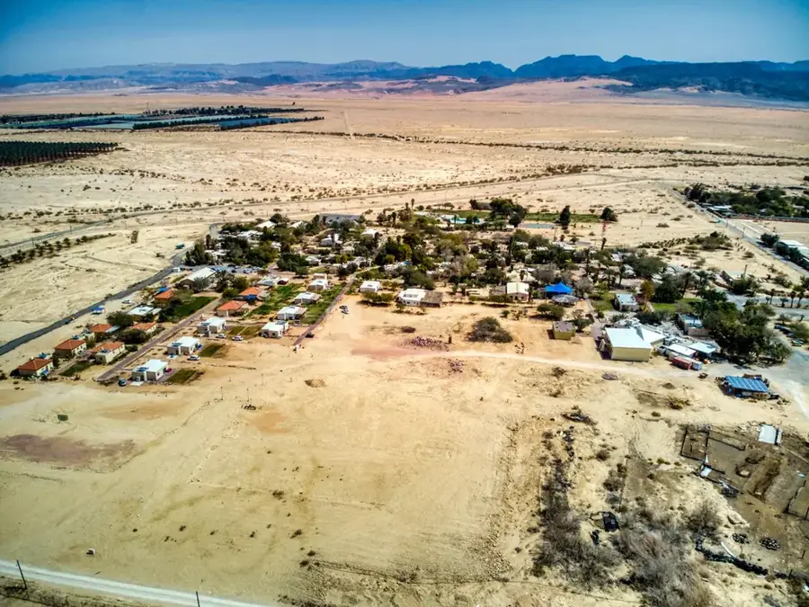
- Nearby: Eilat (70 km)
Best time to visit & climate
The most pleasant time to visit is Apr, May, Oct.
| Jan | Feb | Mar | Apr | May | Jun | Jul | Aug | Sep | Oct | Nov | Dec | |
|---|---|---|---|---|---|---|---|---|---|---|---|---|
| Avg °C | 10 | 12 | 15 | 19 | 23 | 25 | 27 | 27 | 25 | 22 | 17 | 12 |
| Rain mm | 21 | 16 | 10 | 8 | 1 | 0 | 0 | 0 | 0 | 6 | 13 | 12 |
📋 Practical info
Geography
Facts
- The mountain reaches a peak elevation of 847 meters.
- Over 40,000 ancient petroglyphs have been found on the mountain.
- Most archaeological findings date to the Early Bronze Age.
- Emmanuel Anati identified the site as a possible Mount Sinai in 1983.
- The mountain is located within an Israeli military firing zone.
- The plateau contains remains of a sanctuary from the Paleolithic era.
Explore nearby
Notable places around
Route planner — Car & Motorhome
Where do you start? We build the route here, with stops and country notes along the way.
© OpenStreetMap contributors · OpenRouteService
Sights in the town Mount Karkom (6)
Sights nearby
Frequently asked questions
Why is Mount Karkom associated with Mount Sinai?
What are the famous rock engravings?
How do you reach Mount Karkom?
When is the mountain open to visitors?
Are there guided tours?
Mount Karkom: where is it located?
Mount Karkom: what is there to see?
Mount Karkom: when is the best time to visit?
Mount Karkom: why is it worth visiting?

Nearby cities
History & landmarks
Nature
More places