Plizio Visual Lab
Yatir Forest
Weather…
Water temperature…
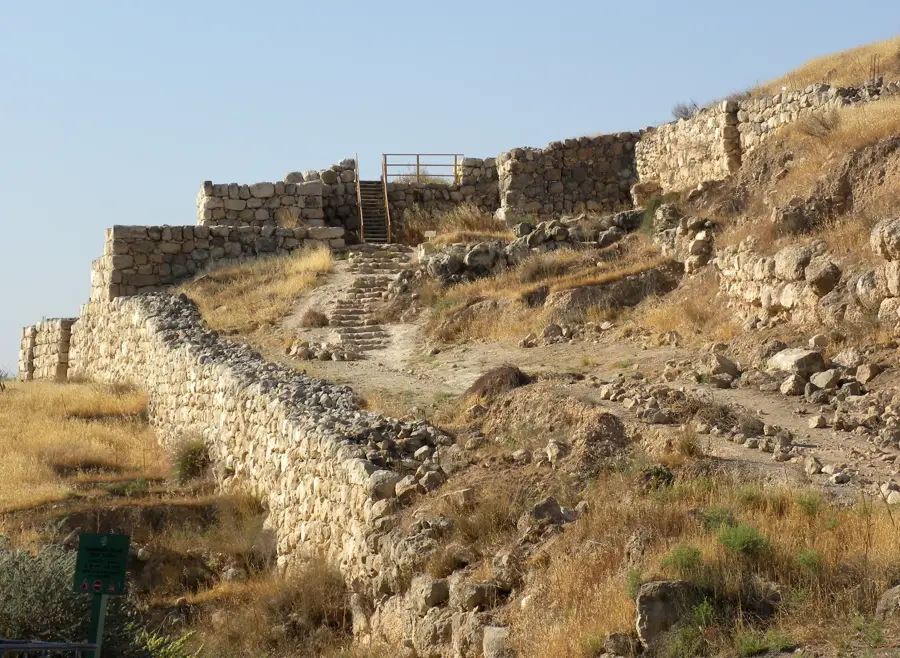
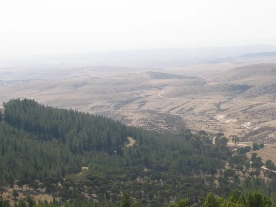
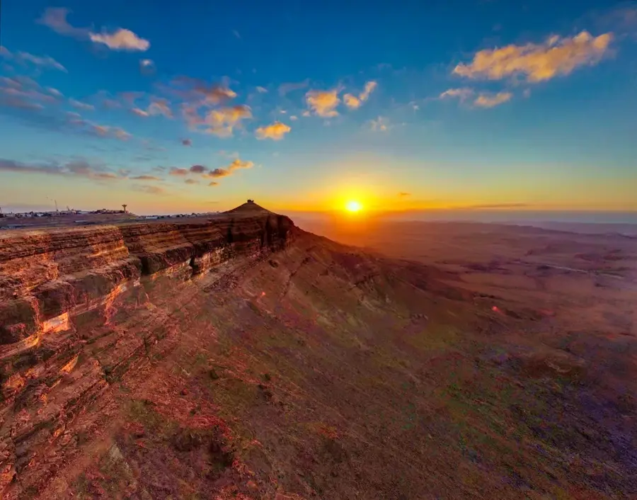
Yatir Forest is Israel's largest man-made forest, situated on the southern slopes of the Judean Mountains at the edge of the Negev Desert. Since 1964, the KKL-JNF has planted over four million trees here, primarily Aleppo pines and cypresses, covering an area of about 30,000 dunams. The project is an internationally recognized success in combating desertification and serves as proof that afforestation is possible in semi-arid regions. The forest supports a surprising variety of wildlife and acts as a major research site for studying climate change and carbon sequestration. Historically, the area is rich in archaeological remains, including the ruins of the biblical city of Jattir and ancient synagogues. Hiking trails, such as the Israel National Trail, wind through the forest, offering spectacular views of the desert landscape and the Hebron hills. Despite receiving only about 280 mm of annual rainfall, the forest thrives through innovative water management techniques. Yatir Forest today stands as a vital ecological bulwark against the desert's expansion and is a popular destination for hikers and environmental scientists.
- Location: Israel
- Top sights: Hurvat Hiran · Mt. Amasa · Weizmann Institute Yatir Research Site
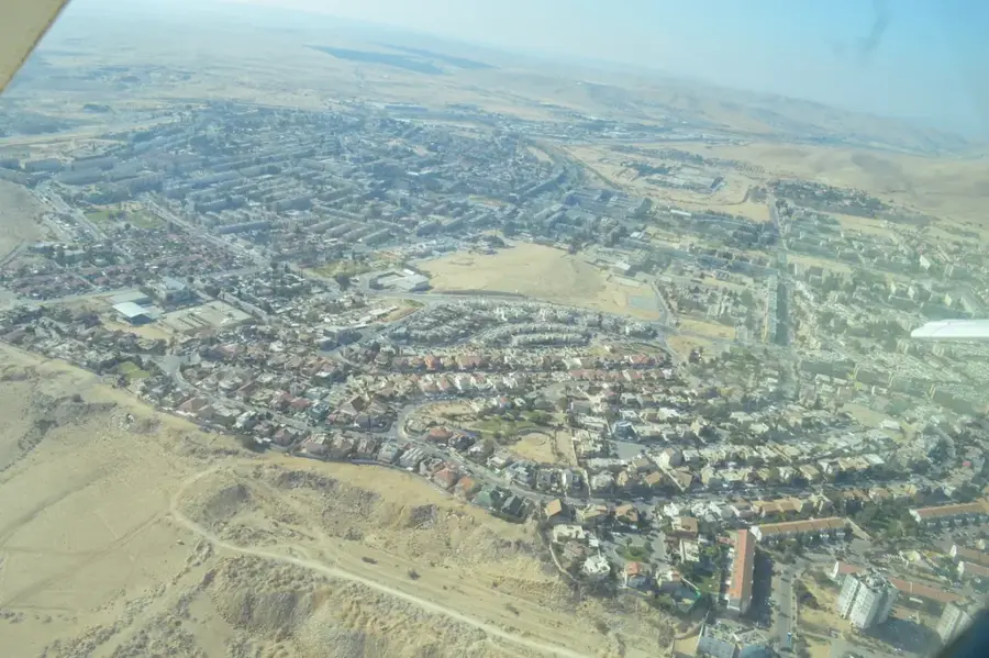
- Nearby: Beersheba (31 km)
Best time to visit & climate
The most pleasant time to visit is Apr, May, Oct.
| Jan | Feb | Mar | Apr | May | Jun | Jul | Aug | Sep | Oct | Nov | Dec | |
|---|---|---|---|---|---|---|---|---|---|---|---|---|
| Avg °C | 10 | 12 | 15 | 18 | 22 | 25 | 27 | 27 | 25 | 22 | 17 | 12 |
| Rain mm | 59 | 42 | 27 | 15 | 4 | 0 | 1 | 0 | 2 | 12 | 31 | 48 |
📋 Practical info
Geography
Facts
- The forest was initiated in 1964 by the KKL-JNF organization.
- It covers a total area of approximately 30,000 dunams.
- More than 4 million trees have been planted in the area.
- The average annual rainfall is only about 280 mm.
- The forest hosts a major meteorological research station.
- The ancient biblical city of Jattir is located within the forest.
Explore nearby
Notable places around
Route planner — Car & Motorhome
Where do you start? We build the route here, with stops and country notes along the way.
© OpenStreetMap contributors · OpenRouteService
Sights in the town Yatir Forest (6)
Sights nearby
Frequently asked questions
Is this really a forest in the middle of the desert?
What else is there to see besides trees?
When do the flowers bloom in Yatir Forest?
Are there mountain bike trails?
Can you have a picnic there?
Yatir Forest: where is it located?
Yatir Forest: what is there to see?
Yatir Forest: when is the best time to visit?
Yatir Forest: why is it worth visiting?

Nearby cities

History & landmarks
Nature
More places