Plizio Visual Lab
Slieve Aughty
Weather…
Water temperature…
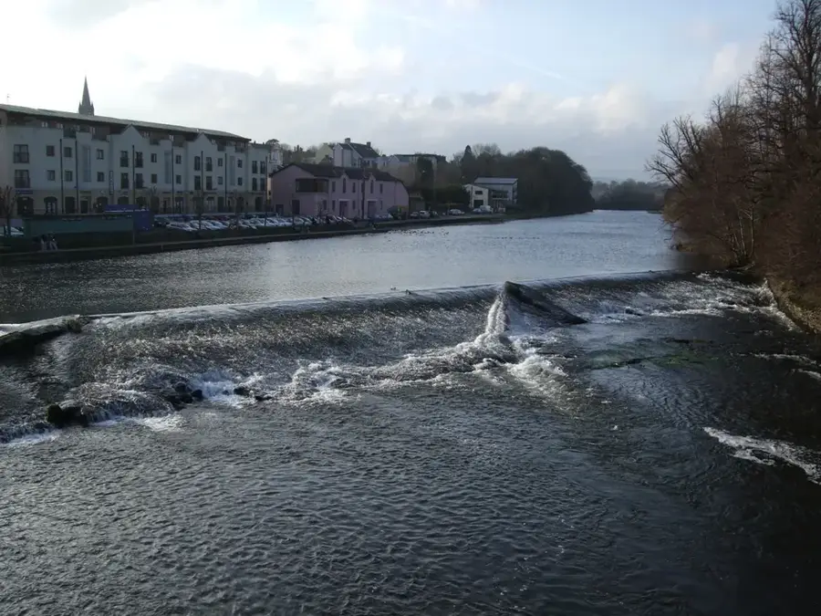
The Slieve Aughty Mountains, also known as Slieve Baughta, are an extensive upland area straddling the border between County Galway and County Clare. Reaching a maximum elevation of about 400 metres, the peaks are gently rounded and covered by vast blanket bogs and commercial coniferous plantations. Geologically, the region is predominantly composed of sandstone and shale, creating a rugged and water-logged landscape. The name Aughty is derived from a figure in Irish mythology, lending the region a mystical significance. The area is designated as a Special Protection Area (SPA) for birds, specifically for the conservation of the endangered hen harrier. Numerous small lakes and rivers originate in these mountains, feeding into the River Shannon and Lough Derg. Today, Slieve Aughty is a destination for eco-tourism, hiking, and mountain biking, where the remote and tranquil nature of the landscape is highly valued.
- Location: Ireland
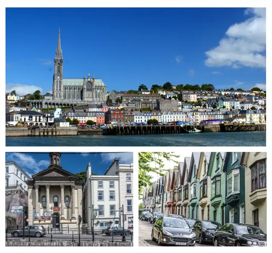
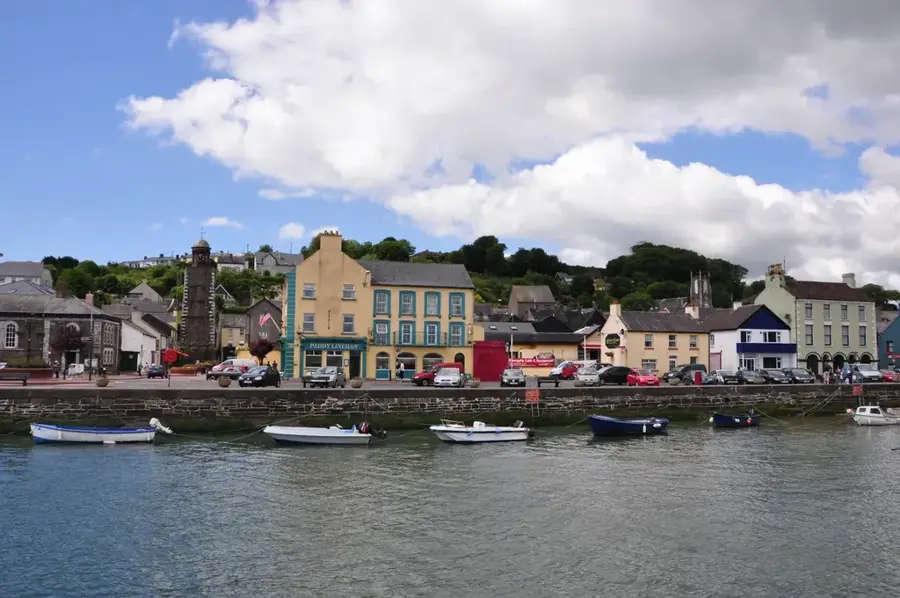
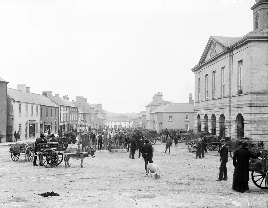
- Nearby: Loughrea (14 km)
Best time to visit & climate
The most pleasant time to visit is Jun–Aug.
| Jan | Feb | Mar | Apr | May | Jun | Jul | Aug | Sep | Oct | Nov | Dec | |
|---|---|---|---|---|---|---|---|---|---|---|---|---|
| Avg °C | 5 | 5 | 6 | 8 | 11 | 14 | 15 | 15 | 13 | 10 | 8 | 6 |
| Rain mm | 118 | 92 | 86 | 73 | 84 | 90 | 100 | 107 | 91 | 108 | 132 | 124 |
📋 Practical info
Geography
Facts
- The highest point in Slieve Aughty is approximately 400 metres.
- The range forms the border between County Galway and County Clare.
- The hen harrier has one of its most important breeding grounds here.
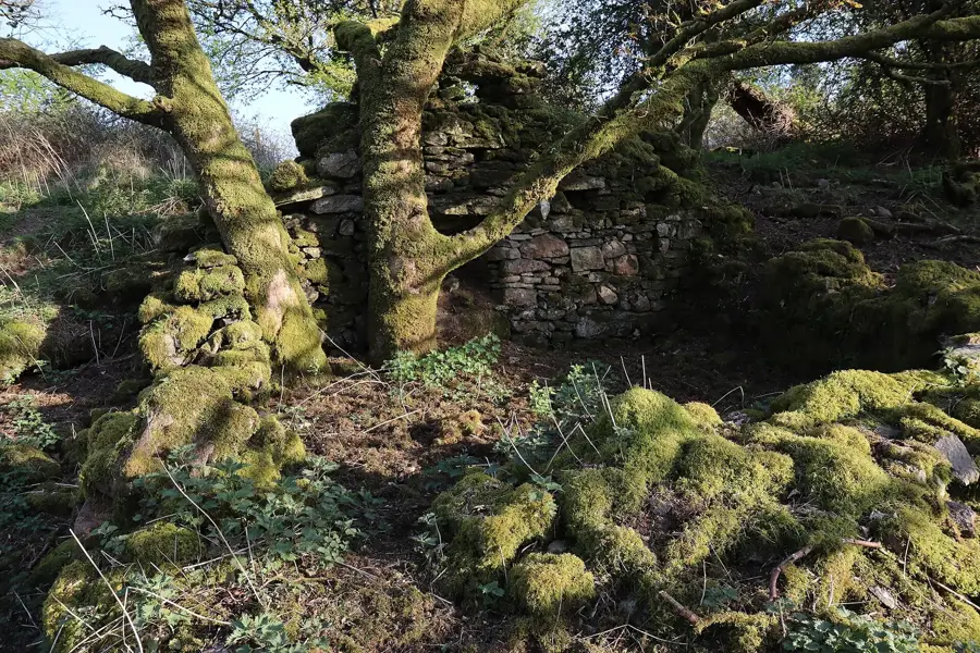
- Numerous megalithic structures prove early human settlement.
- The region encompasses over 250 square kilometres of uplands.
- The Slieve Aughty Way is a popular long-distance walking trail.
Explore nearby
Notable places around
Route planner — Car & Motorhome
Where do you start? We build the route here, with stops and country notes along the way.
© OpenStreetMap contributors · OpenRouteService
Sights nearby
Frequently asked questions
How difficult is hiking in the Slieve Aughty Mountains?
Where is the best starting point for a hike?
Are there protected wildlife species there?
When is the best time to visit?
Do I need special equipment?
Slieve Aughty: where is it located?
Slieve Aughty: when is the best time to visit?
Slieve Aughty: why is it worth visiting?

Nearby cities