Plizio Visual Lab
Slieve Bernagh
Weather…
Water temperature…
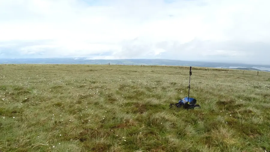
Slieve Bernagh is a prominent mountain range in eastern County Clare, overlooking Lough Derg and the town of Killaloe. With a maximum elevation of 532 meters at Moylussa, the massif has broad views across the Shannon Valley. Geologically, Slieve Bernagh is composed of Silurian siltstones and shales, forming a rugged surface. The region is historically significant as the heartland of the clan of High King Brian Boru. The strategic location allowed for the monitoring of traffic on the River Shannon in medieval times. Today, Slieve Bernagh is a popular spot for hikers, with the East Clare Way trail passing through the area. The slopes are partially forested, while the upper reaches feature heather and blanket moors. Slieve Bernagh represents an important ecological habitat for birds of prey. The range remains a dominant feature of the landscape in the midwest of Ireland, framing the shores of the country's third-largest lake.
- Location: Ireland
- Top sights: Cragnamurragh · Moylussa · Glennagalliagh Mountain
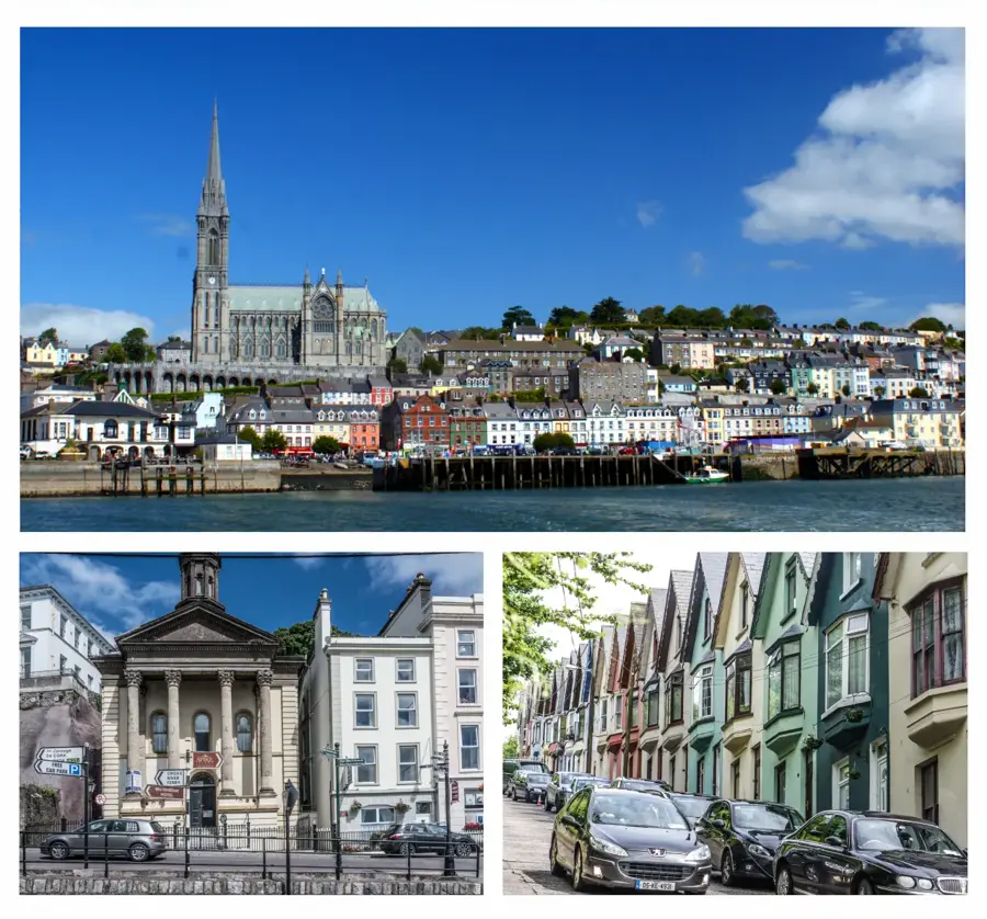
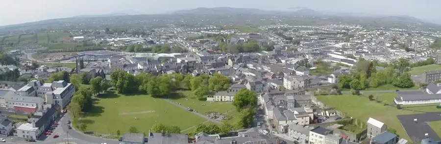
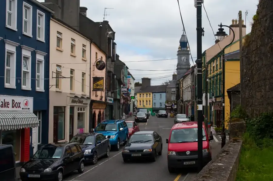
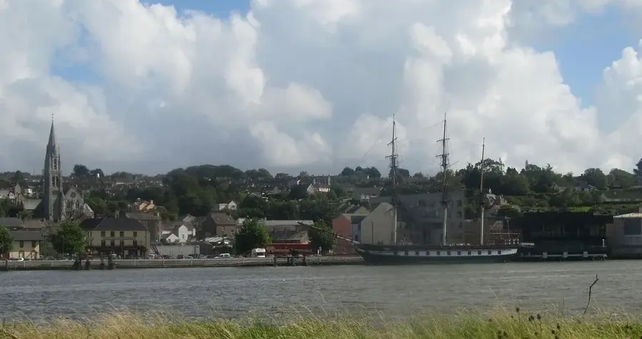
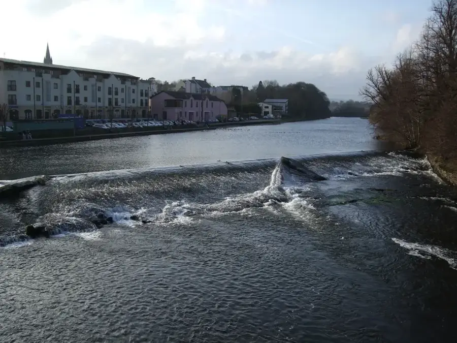
- Nearby: Killaloe (9 km)
Best time to visit & climate
The most pleasant time to visit is Jun–Aug.
| Jan | Feb | Mar | Apr | May | Jun | Jul | Aug | Sep | Oct | Nov | Dec | |
|---|---|---|---|---|---|---|---|---|---|---|---|---|
| Avg °C | 5 | 5 | 6 | 8 | 11 | 14 | 15 | 15 | 13 | 10 | 8 | 6 |
| Rain mm | 118 | 92 | 86 | 73 | 84 | 90 | 100 | 107 | 91 | 108 | 132 | 124 |
📋 Practical info
Geography
Facts
- Moylussa is the highest peak of Slieve Bernagh at 532 meters.
- The mountains are composed of Silurian rock over 400 million years old.
- They were the ancestral home of the Dál gCais dynasty and Brian Boru.
- The range borders Lough Derg, the third-largest lake in Ireland.
- The East Clare Way is a 180 km long-distance trail passing through this area.
- The mountains offer a strategic view of the terminus of the Shannon navigation.
Explore nearby
Notable places around
Route planner — Car & Motorhome
Where do you start? We build the route here, with stops and country notes along the way.
© OpenStreetMap contributors · OpenRouteService
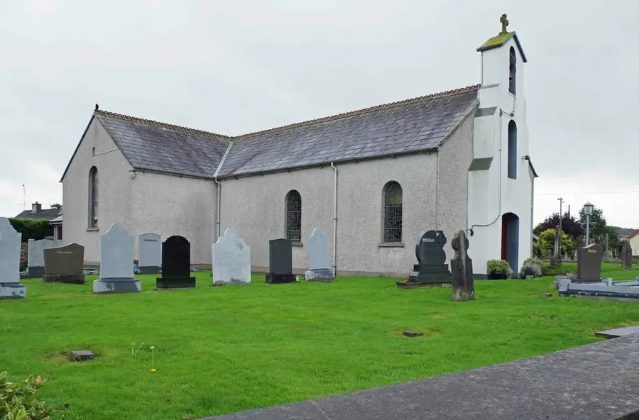
Sights in the town Slieve Bernagh (3)
Glennagalliagh Mountain
Mountain in Ireland, part of the Slieve Bernagh range.
Sights nearby
Frequently asked questions
Where is Slieve Bernagh located?
How high is the mountain?
Which lake can be seen from there?
Is the mountain historically significant?
Are there marked hiking trails?
Slieve Bernagh: where is it located?
Slieve Bernagh: what is there to see?
Slieve Bernagh: when is the best time to visit?
Slieve Bernagh: why is it worth visiting?

Nearby cities