Plizio Visual Lab
Eiríksjökull
Weather…
Water temperature…
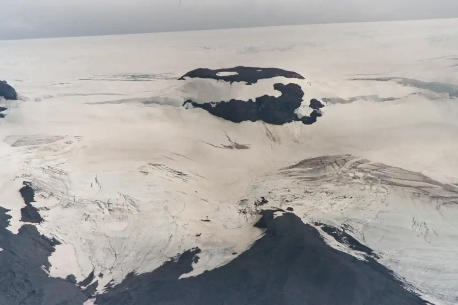
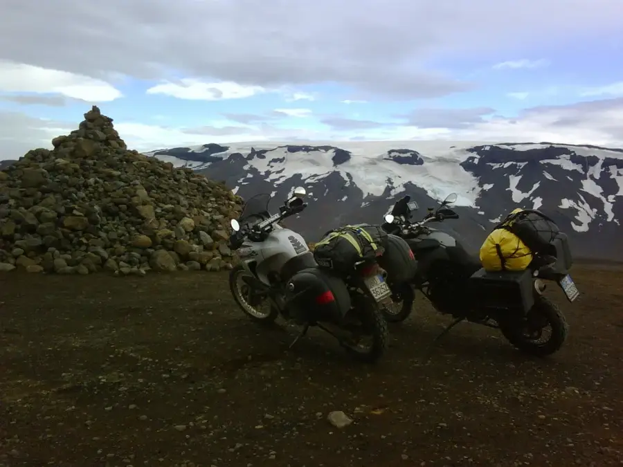
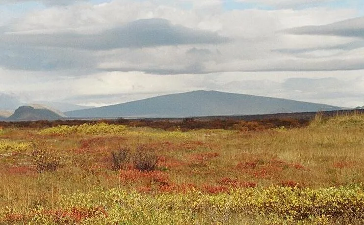
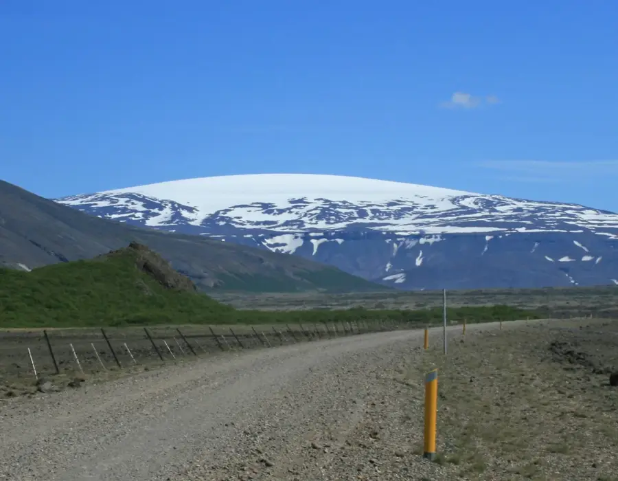
Eiríksjökull is the largest table mountain (tuya) in Iceland, located in the west of the country, northwest of the Langjökull glacier. It reaches a height of 1,675 meters and is capped by an ice cap covering an area of about 22 square kilometers. The mountain was formed during the last Ice Age by massive volcanic eruptions beneath a thick ice sheet, resulting in its characteristic shape with steep cliffs and a flat plateau. The base of the mountain consists of hyaloclastite rock, while the upper part is crowned by hard basalt layers. Eiríksjökull towers over the surrounding Hallmundarhraun lava field, which is known for its giant lava caves like Surtshellir. The ascent of the mountain is considered technically demanding as the flanks are very steep and often unstable. The mountain's name is derived from a legend about the outlaw Eirík, who is said to have hidden there. Today, it is a prominent geological landmark that impressively demonstrates the power of glaciovolcanic processes in Iceland.
- Location: Iceland
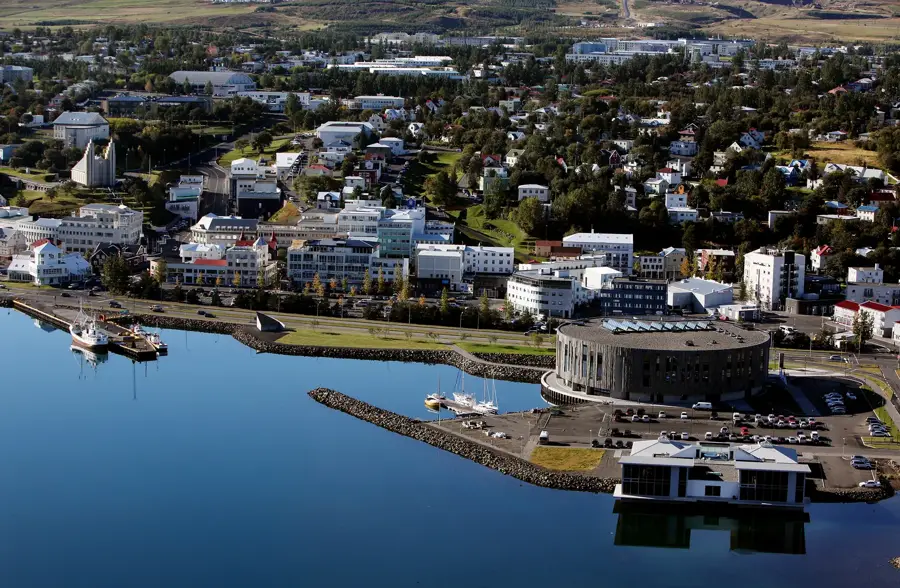
- Nearby: Laugarvatn (63 km)
Best time to visit & climate
The most pleasant time to visit is Jun–Aug.
| Jan | Feb | Mar | Apr | May | Jun | Jul | Aug | Sep | Oct | Nov | Dec | |
|---|---|---|---|---|---|---|---|---|---|---|---|---|
| Avg °C | -5 | -5 | -4 | -1 | 3 | 7 | 9 | 8 | 4 | 0 | -4 | -5 |
| Rain mm | 121 | 111 | 108 | 95 | 77 | 70 | 92 | 93 | 129 | 112 | 109 | 123 |
📋 Practical info
Geography
Facts
- The largest tuya in Iceland, standing at 1,675 meters.
- Features a 22 km² summit ice cap atop its plateau.
- Created by subglacial volcanic activity during the Ice Age.
- Bordered by the expansive Hallmundarhraun lava field.
- Rises over 1,000 meters above its immediate surroundings.
- Named after Eirík, a legendary outlaw who allegedly hid there.
Explore nearby
Notable places around
Route planner — Car & Motorhome
Where do you start? We build the route here, with stops and country notes along the way.
© OpenStreetMap contributors · OpenRouteService
Sights nearby
Frequently asked questions
What is Eiríksjökull?
Where is it located?
Is it suitable for hikers?
Why is it geologically interesting?
How high is it?
Eiríksjökull: where is it located?
Eiríksjökull: when is the best time to visit?
Eiríksjökull: why is it worth visiting?

Nearby cities