Plizio Visual Lab
Skjaldbreiður
Weather…
Water temperature…
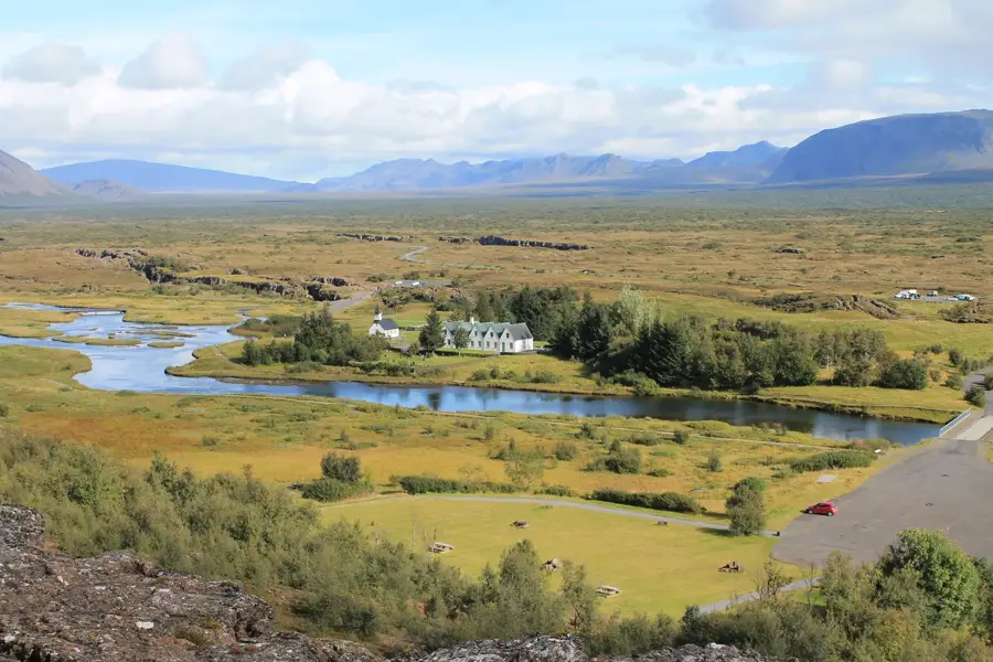
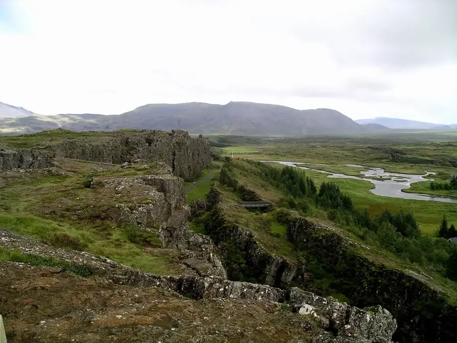
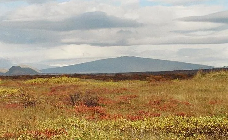
Skjaldbreiður is a classic shield volcano in southwestern Iceland, whose name means 'broad shield'. It was formed about 9,000 years ago during a long-lasting eruption and is considered a prototype for this type of volcanic form worldwide. The structure has a diameter of about 10 kilometers at the base and a height of 1,060 meters, with an extremely gentle slope. The crater at the summit has a diameter of about 300 meters and is circular. The massive lava flows that emerged during its formation shaped the basin of the nearby Þingvallavatn lake and the famous Þingvellir valley, where tectonic plates drift apart. Geologically, the volcano consists almost exclusively of fluid basalt that flowed out evenly over long periods. From a distance, the mountain appears like a warrior's shield lying on the ground due to its symmetry. Today, Skjaldbreiður is an important object of study for the development of effusive volcanic systems in Iceland.
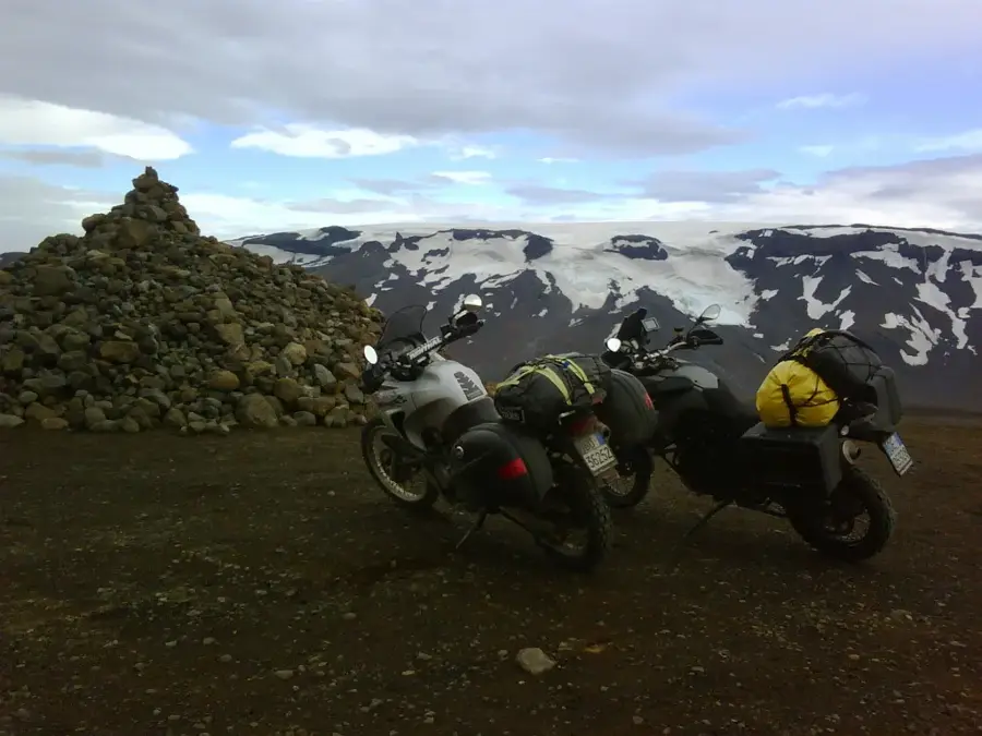
- Location: Iceland
- Nearby: Laugarvatn (21 km)
Best time to visit & climate
The most pleasant time to visit is Jun–Aug.
| Jan | Feb | Mar | Apr | May | Jun | Jul | Aug | Sep | Oct | Nov | Dec | |
|---|---|---|---|---|---|---|---|---|---|---|---|---|
| Avg °C | -4 | -4 | -3 | 1 | 4 | 9 | 10 | 9 | 6 | 1 | -2 | -3 |
| Rain mm | 160 | 148 | 141 | 111 | 87 | 77 | 92 | 101 | 155 | 123 | 129 | 159 |
📋 Practical info
Geography
Facts
- A shield volcano reaching an elevation of 1,060 meters.
- Named 'Broad Shield' due to its characteristic low profile.
- Formed roughly 9,000 years ago in a sustained eruption.
- Its lava flows created the basin for Lake Þingvallavatn.
- Features a circular summit crater about 300 meters wide.
- The base of the volcano spans a diameter of 10 kilometers.
Explore nearby
Notable places around
Route planner — Car & Motorhome
Where do you start? We build the route here, with stops and country notes along the way.
© OpenStreetMap contributors · OpenRouteService
Sights nearby
Frequently asked questions
What does the name Skjaldbreiður mean?
Where is this volcano located?
What role did it play for Thingvellir?
How can you reach it?
Does it have a crater?
Skjaldbreiður: where is it located?
Skjaldbreiður: when is the best time to visit?
Skjaldbreiður: why is it worth visiting?

Nearby cities


History & landmarks