Plizio Visual Lab
Baula

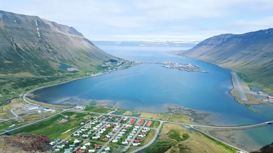
Baula is a distinctive, cone-shaped mountain located in western Iceland, near the Borgarfjörður district. Standing at 934 meters, it is renowned for its nearly first-rate pyramidal symmetry and light-colored appearance, which contrasts sharply with the surrounding dark basaltic landscape. The mountain is primarily composed of rhyolite, a silica-rich volcanic rock that gives it its characteristic yellowish-brown hue. Geologically, Baula is an intrusion known as a laccolith, formed approximately 3.4 million years ago when magma pushed between layers of surface rock without actually erupting. Climbing to the summit is challenging due to the steep slopes and loose rhyolite scree, but the top features expansive views over the highlands and the Westfjords. Adjacent to Baula is the smaller Litla-Baula, which shares the same geological origin and intrusive history. The mountain is a prominent landmark for travelers on the Ring Road and has been featured in local folklore for centuries. Its barren flanks are nearly devoid of vegetation, highlighting its stark geological structure. Scientists frequently study Baula to gain insights into the magmatic processes of the late Pliocene epoch in Iceland.
- Location: Iceland
- Top sights: Baula · Bjarnafoss
- Nearby: Borgarnes (41 km)
📋 Practical info
Geography
Facts
- The summit of Baula reaches an elevation of 934 meters.
- It is famous for its almost perfect cone-shaped appearance.
- The mountain was formed approximately 3.4 million years ago.
- Its primary geological component is light-colored rhyolite.
- Baula is classified as a volcanic intrusion, specifically a laccolith.
- A smaller, related peak nearby is known as Litla-Baula.
Explore nearby
Notable places around
Route planner — Car & Motorhome
Where do you start? We build the route here, with stops and country notes along the way.
© OpenStreetMap contributors · OpenRouteService
Sights in the town Baula (2)
Sights nearby
Frequently asked questions
What is the distinct shape of Baula?
Is the mountain difficult to climb?
How long does the hike to the summit take?
What rock is the mountain made of?
Where is Baula located?
Baula: where is it located?
Baula: what is there to see?
Baula: why is it worth visiting?

Nearby cities