Plizio Visual Lab
Kaldidalur
Weather…
Water temperature…
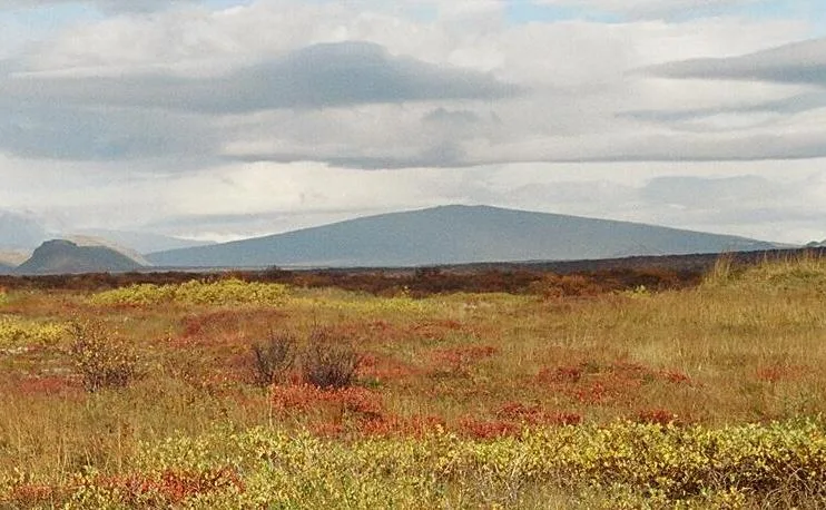
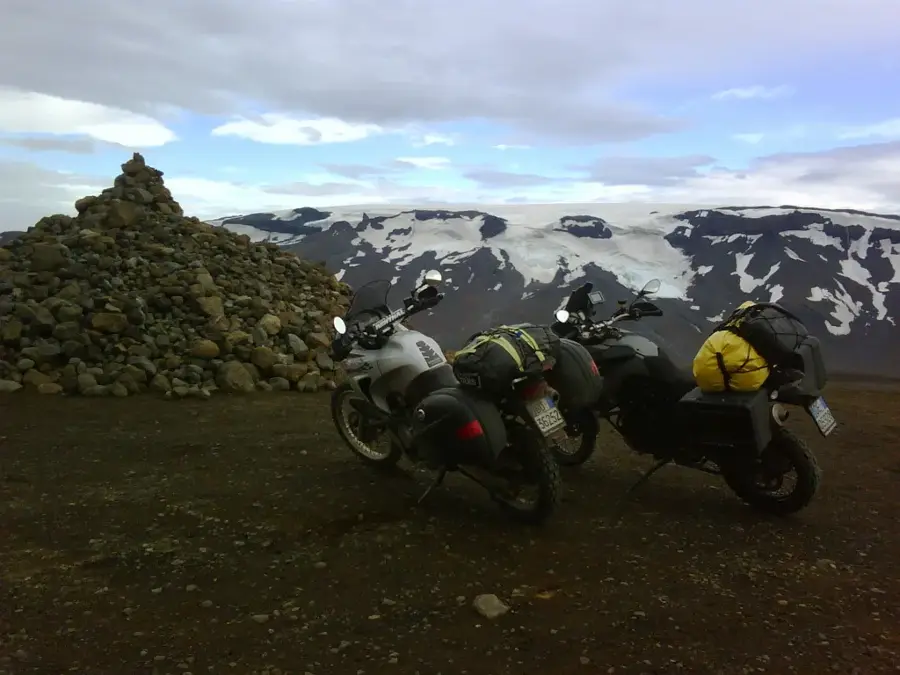
Kaldidalur is a historical highland pass and mountain road in western Iceland, stretching between the Langjökull glacier and the extinct Ok volcano. The name translates to 'Cold Valley,' referring to the region's harsh, often snowy climate. With a pass height of 727 meters above sea level, it is the shortest of the major highland tracks, connecting the Borgarfjörður region in the west with Þingvellir National Park in the south. The route is characterized by a barren, almost alien-looking stone desert and features spectacular views of the surrounding Langjökull, Eiríksjökull, and Þórisjökull ice caps. Historically, Kaldidalur was an important route for Icelanders to reach the annual Althing at Þingvellir. Today, the F550 road is a popular route during the summer months for travelers seeking a glimpse of the interior without venturing deep into the inaccessible highlands. The landscape stands as a testament to the glaciological processes that shaped the area following the retreat of glaciers at the end of the last ice age.
- Location: Iceland
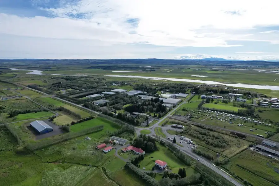
- Nearby: Laugarvatn (37 km)
Best time to visit & climate
The most pleasant time to visit is Jun–Aug.
| Jan | Feb | Mar | Apr | May | Jun | Jul | Aug | Sep | Oct | Nov | Dec | |
|---|---|---|---|---|---|---|---|---|---|---|---|---|
| Avg °C | -4 | -4 | -3 | 1 | 4 | 9 | 10 | 9 | 6 | 1 | -2 | -3 |
| Rain mm | 160 | 148 | 141 | 111 | 87 | 77 | 92 | 101 | 155 | 123 | 129 | 159 |
📋 Practical info
Geography
Facts
- The highest point of the pass is at 727 meters.
- The total length of the route is approximately 40 kilometers.
- Kaldidalur is the second-highest mountain road after Sprengisandur.
- The road is classified as F550 and open only in summer.
- The name 'Kaldidalur' was first mentioned in writing in the 12th century.
- Four glaciers are visible from the route.
Explore nearby
Notable places around
Route planner — Car & Motorhome
Where do you start? We build the route here, with stops and country notes along the way.
© OpenStreetMap contributors · OpenRouteService
Sights in the town Kaldidalur (1)
Sights nearby
Frequently asked questions
What is Kaldidalur?
Do I need a 4WD vehicle?
What is the landscape like?
When is the track open?
What does the name mean?
Kaldidalur: where is it located?
Kaldidalur: when is the best time to visit?
Kaldidalur: why is it worth visiting?

Nearby cities