Plizio Visual Lab
Pat Sin Leng
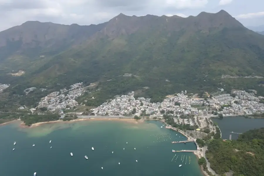
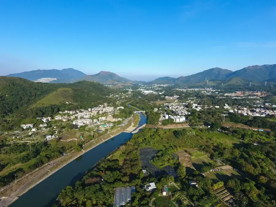
Pat Sin Leng is a striking mountain range in northeast Hong Kong, famous for its jagged skyline consisting of eight distinct peaks. The name, meaning 'Ridge of the Eight Immortals', draws from Chinese mythology, with each summit named after a different immortal figure. The highest point is Shun Yeung Peak, standing at 590 meters. Hiking across this ridge is widely regarded as one of the most challenging treks in the New Territories due to the continuous sequence of steep climbs and descents across all eight summits. However, it provides unparalleled panoramic views of Plover Cove Reservoir, Tolo Harbour, and even the skyline of Shenzhen across the border on clear days. Located within the Pat Sin Leng Country Park, the area is a haven for biodiversity and rugged natural beauty. It serves as a reminder of the wilder side of Hong Kong, providing a spiritual and physical challenge for experienced hikers seeking to conquer these legendary slopes.
- Location: Hong Kong SAR China
- Top sights: Kwai Tau Leng · Tsz Shan Monastery Buddhist Art Museum · Shun Yeung Fung
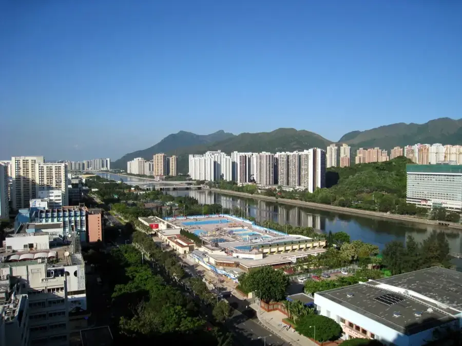
- Nearby: Fo Tan (5 km)
Best time to visit & climate
The most pleasant time to visit is Mar, Nov, Dec.
| Jan | Feb | Mar | Apr | May | Jun | Jul | Aug | Sep | Oct | Nov | Dec | |
|---|---|---|---|---|---|---|---|---|---|---|---|---|
| Avg °C | 16 | 18 | 20 | 23 | 26 | 28 | 29 | 29 | 28 | 25 | 22 | 17 |
| Rain mm | 35 | 29 | 69 | 109 | 231 | 288 | 197 | 234 | 173 | 56 | 29 | 21 |
📋 Practical info
Geography
Facts
- Ridge length: 8 km
- Number of peaks: 8
- Highest peak: Wong Leng (639 m)
- Nature trail length: 4.5 km
- Part of Pat Sin Leng Country Park (established 1979)
- Flora: over 500 plant species documented
Explore nearby
Notable places around
Route planner — Car & Motorhome
Where do you start? We build the route here, with stops and country notes along the way.
© OpenStreetMap contributors · OpenRouteService
Sights in the town Pat Sin Leng (8)
Sights nearby
Frequently asked questions
What does the name mean?
Is it a difficult hike?
How long to hike the whole range?
Is there water on the trail?
How is the view?
Pat Sin Leng: where is it located?
Pat Sin Leng: what is there to see?
Pat Sin Leng: when is the best time to visit?
Pat Sin Leng: why is it worth visiting?

Nearby cities