Plizio Visual Lab
Kau To Shan

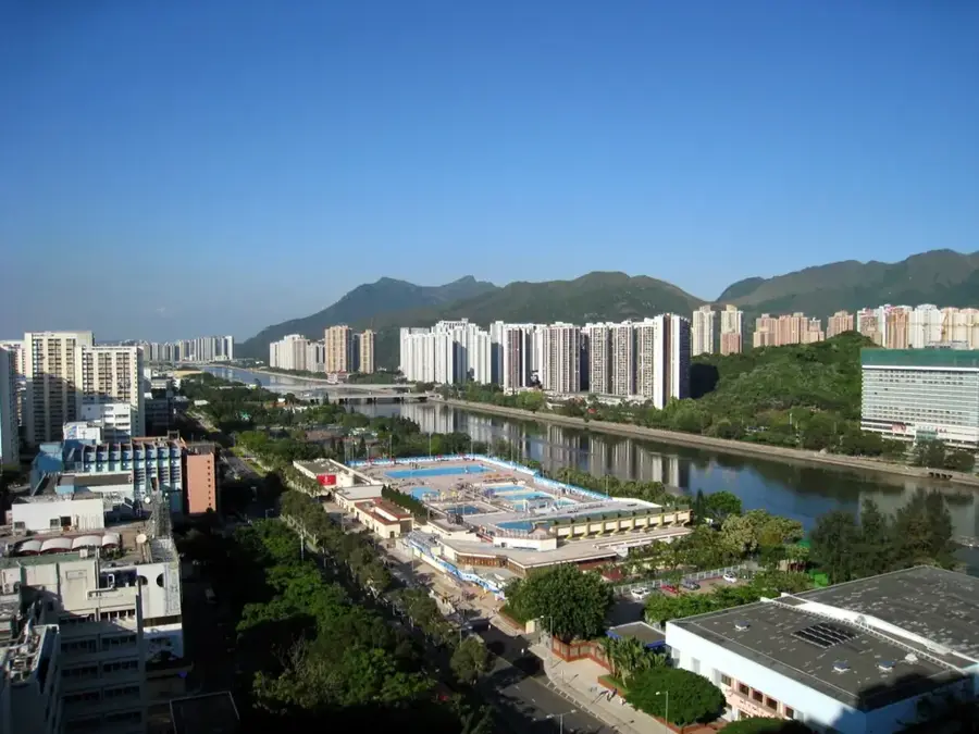
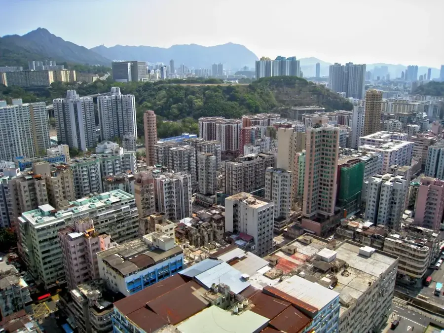
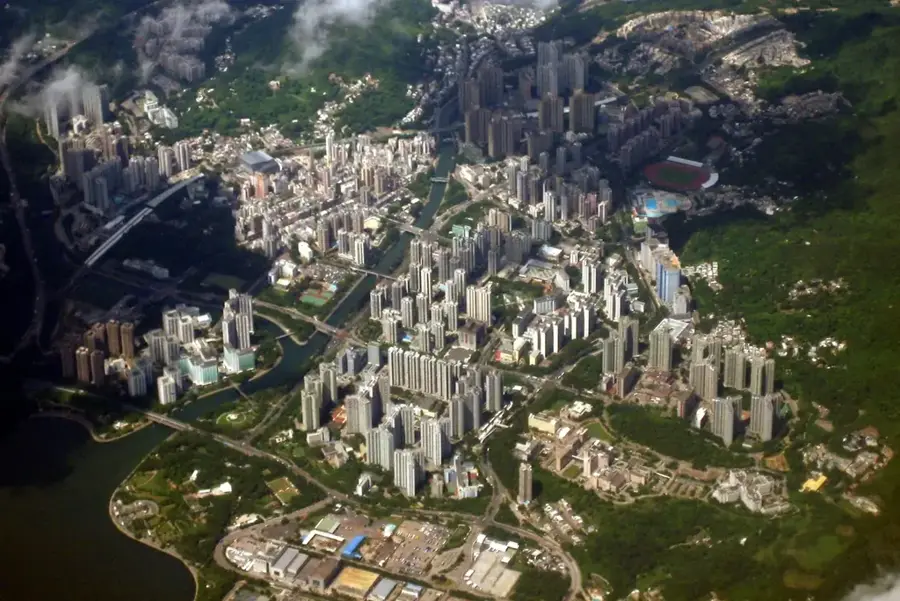
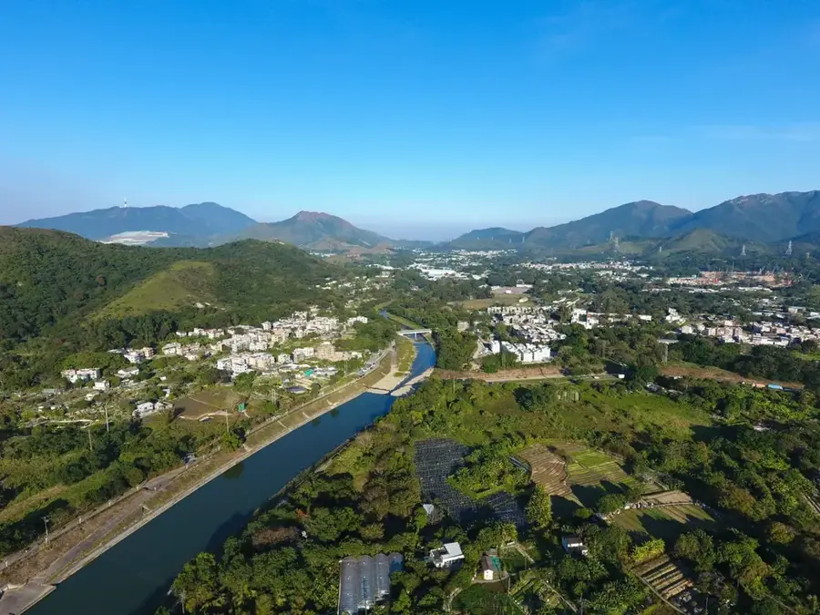
Kau To Shan, also referred to as Mount Lok Lo Ha, is a 399-meter hill located in the Shatin District of the New Territories in Hong Kong. Over the past several decades, it has evolved into one of the city's most prestigious and exclusive residential enclaves. The slopes of the hill are dotted with high-end luxury villas and low-density apartment complexes that command wide-open views of the Shing Mun River, the Shatin Racecourse, and the surrounding mountain ranges. Its elevated position has a cooler climate and a sense of seclusion from the dense urban sprawl of Hong Kong, making it a highly desirable location for the social elite. Geologically, the hill is primarily composed of granite, a characteristic shared with many of the peaks in the region. While the lower and middle sections are extensively developed, the upper ridges still retain patches of native subtropical shrubland. For outdoor enthusiasts, several trails connect Kau To Shan to the broader network of paths leading toward Tai Po and the Ma On Shan Country Park, blending urban luxury with accessible natural landscapes.
- Location: Hong Kong SAR China
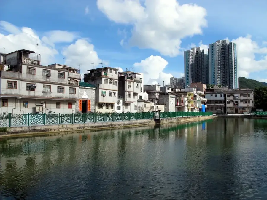
- Top sights: Hip Tin Kung, Cheung Shue Tan · Li's Ancestral Hall · Yau's Ancestral Hall
- Nearby: Ma On Shan (4 km)
Best time to visit & climate
The most pleasant time to visit is Mar, Nov, Dec.
| Jan | Feb | Mar | Apr | May | Jun | Jul | Aug | Sep | Oct | Nov | Dec | |
|---|---|---|---|---|---|---|---|---|---|---|---|---|
| Avg °C | 16 | 18 | 20 | 23 | 26 | 28 | 29 | 29 | 28 | 25 | 22 | 17 |
| Rain mm | 35 | 29 | 69 | 109 | 231 | 288 | 197 | 234 | 173 | 56 | 29 | 21 |
📋 Practical info
Geography
Facts
- Kau To Shan is 399 meters high.
- It is located in Ma On Shan Country Park.
- From the summit, 9 islands are visible.
- The Wilson Trail passes over the summit (78 km total length).
- The average hiking time is 1.5 hours.
- The mountain consists of Jurassic volcanic rock.
Explore nearby
Notable places around
Route planner — Car & Motorhome
Where do you start? We build the route here, with stops and country notes along the way.
© OpenStreetMap contributors · OpenRouteService
Sights in the town Kau To Shan (4)
Sights nearby
Frequently asked questions
What is Kau To Shan?
What is the difficulty level of the hike?
What can you see from the summit?
How do you get to the starting point?
Are there many people there?
Kau To Shan: where is it located?
Kau To Shan: what is there to see?
Kau To Shan: when is the best time to visit?
Kau To Shan: why is it worth visiting?

Nearby cities